
Cooler, more fall-like days ahead
We’ll also see increasing sunshine ahead

Go Deeper.
Create an account or log in to save stories.
Like this?
Thanks for liking this story! We have added it to a list of your favorite stories.


More seasonable air and dew points have settled back in across the region. It’ll be a good 10 to 15 degrees cooler today. We’ll also see a nice dose of sunshine ahead over the next several days.
Cooler, more fall-like days ahead along with sunshine
We’ve been in a pretty dreary pattern lately with cloud cover definitely dominating peeks of sunshine. Finally, we should see abundant sunshine develop today and overall the next several days. Any morning cloud cover will clear out leaving just some high clouds today and brighter skies Friday and for the weekend.
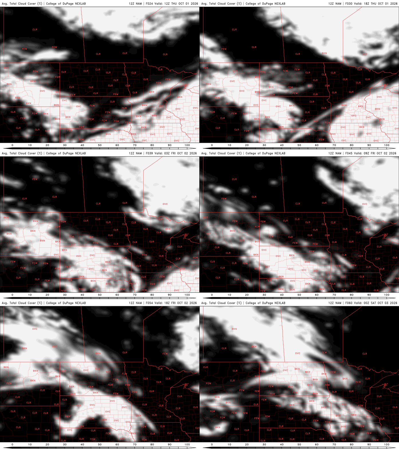
Cooler, drier and much more seasonable air is also back today and sticking around a while. Afternoon highs today will range from the mid 60s south to the upper 50s north, much closer to normal and a full 10 to even 15 degrees cooler than yesterday’s late August-like temperatures.

Clear skies and cool, dry air will set us up for a chilly overnight. Overnight lows will be near freezing on the Iron Range with some spots slipping into the upper 20s. Farther south, we’ll see lows in the 40s and the Twin Cities may officially slip below 50-degrees at the Minneapolis-St. Paul International Airport.

Friday will be a mostly sunny and beautiful day. Highs will be in the low 60s to upper 50s once again with light winds.

The weekend will be more of the same, overall. We can expect more in the way of seasonable temperatures with highs in the 60s and 50s with overnights in the 40s and 30s.
Clouds will increase Saturday as another cool front touches off perhaps a late day shower. Sunday will be mostly sunny.
Turn Up Your Support
MPR News helps you turn down the noise and build shared understanding. Turn up your support for this public resource and keep trusted journalism accessible to all.

