
Above-normal temperatures, dry all week across Minnesota
Very warm temps possible by next weekend

Go Deeper.
Create an account or log in to save stories.
Like this?
Thanks for liking this story! We have added it to a list of your favorite stories.


After a cool start, temperatures this week will be warmer than normal with at least a few days in the 70s. Conditions will be pretty dry with little chance at rainfall.
Above-normal temperatures all week and dry
It’s another chilly start to the day early Monday. Morning lows dipped into the 20s in northern Minnesota with lots of 30s and 40s in southern Minnesota.
Winds will generally be light from the south but will pick up in western Minnesota at 10 to 20 mph by the afternoon. Highs will be mostly in the 60s with some low 70s in western Minnesota.

We’ll see lots of sunshine to start with increasing clouds this afternoon as a fast-moving upper level disturbance sweeps across the region. A few showers will be possible for central Minnesota, mainly north of I-94 this evening.
Turn Up Your Support
MPR News helps you turn down the noise and build shared understanding. Turn up your support for this public resource and keep trusted journalism accessible to all.
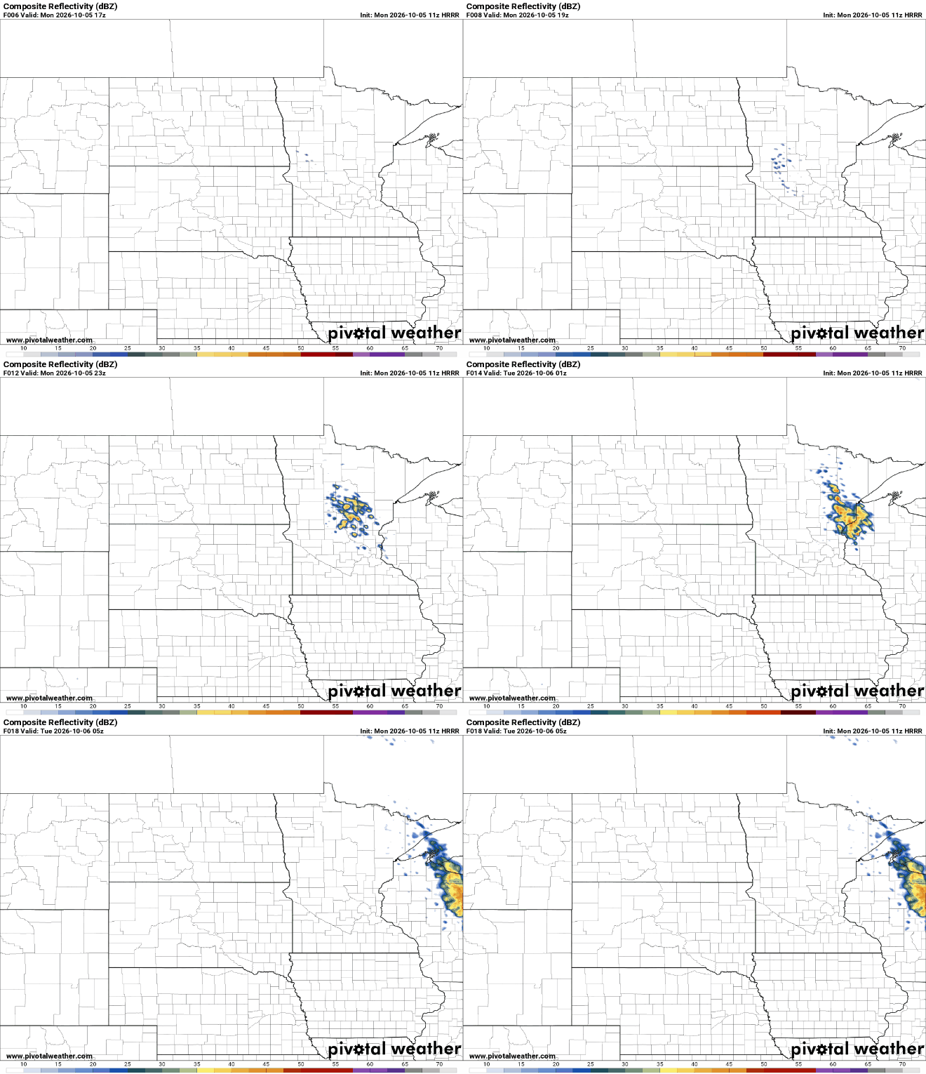
Rainfall will be pretty light. A few ‘lucky’ spots will receive up to 0.10 to 0.25 inches mainly in east central Minnesota and the North Shore into northwest Wisconsin.

Tuesday will be much warmer with highs well into the 70s for most of the state. Those readings are 10 to 20 degrees above normal for this time of year.

A cool front will drop through later Tuesday but temperatures will not drop that much. We’ll still be near 70 degrees Wednesday with upper 60s by Thursday and Friday.
By the weekend, we may see summerlike temperatures. Several forecast models push us to 80 degrees by Saturday.

We were on a roll with rainfall in September but conditions are looking pretty dry with no significant chance of rainfall this week. We may see some showers Sunday night into Monday early next week with the next cool front.


