
Very warm, breezy Tuesday followed by a slight cooldown
Little or no chances of rain this week

Go Deeper.
Create an account or log in to save stories.
Like this?
Thanks for liking this story! We have added it to a list of your favorite stories.


Temperatures will be about 10 to 20 degrees above normal Tuesday. A cool front will drop temps just slightly for mid to late week before we warm again for the weekend.
Very warm, breezy Tuesday followed by a slight cooldown
It’ll be a very warm day Tuesday as south winds push temperatures up well into the 70s to even near 80 degrees for some in western Minnesota.
Those readings are about 10 to 20 degrees above normal. Normal highs range from the low 60s to low 50s across Minnesota for Oct. 6.

A cool front moves through later in the day switching the winds from the south to the northwest and dropping temperatures just a bit Wednesday into Friday. We’ll still be warmer than normal.
Turn Up Your Support
MPR News helps you turn down the noise and build shared understanding. Turn up your support for this public resource and keep trusted journalism accessible to all.
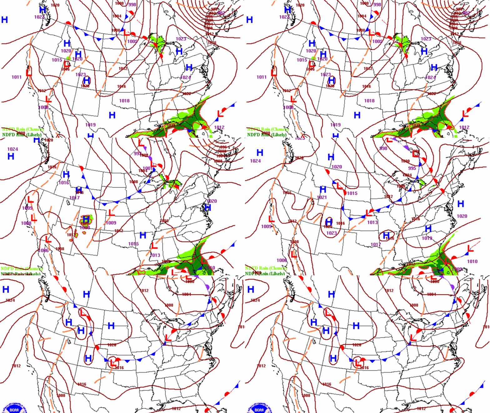
Highs Wednesday afternoon will be in the low 70s south to low 60s north, still about 5 to 10 degrees above normal. We’ll continue to see quite a bit of sunshine as well.

We’ll need to watch for potential elevated fire weather conditions Wednesday afternoon. We’ll see gusty northwest winds, combined with relative humidity values in the 20 to 30 percent range. A lot of vegetation is also drying out at this time of year.

Thursday and Friday will be a touch cooler before temperatures ramp up again for the weekend. We’re still on track to see many highs in the 80s Saturday across southern Minnesota.

Unfortunately, in addition to the warm weather and sunshine the pattern will be quite dry with no real chance of rain until perhaps later in the weekend or early next week.


