Cooler but still warmer than normal Wednesday through Friday
Highs in the 80s build in for the weekend

Go Deeper.
Create an account or log in to save stories.
Like this?
Thanks for liking this story! We have added it to a list of your favorite stories.


Wednesday will be cooler but still nearly 10 degrees above normal. Look for sunshine and breezy, dry conditions. Highs in the 80s move into southern Minnesota for Saturday.
Cooler than Tuesday but still warmer than normal through Friday
After a very warm Tuesday, Wednesday will be cooler but still nearly 10 degrees above normal. Afternoon highs will range from the low 70s south to low 60s north with lots of sunshine.

We’ll also see elevated fire weather conditions due to gusty northwest winds and low relative humidity values in the afternoon.

Thursday will be several degrees cooler with highs mostly in the 60s across the state along with more sunshine. It’ll remain warmer than normal.
Turn Up Your Support
MPR News helps you turn down the noise and build shared understanding. Turn up your support for this public resource and keep trusted journalism accessible to all.

Weekend will be even warmer
A blast of even warmer air moves in for the weekend. Highs Saturday and potentially Sunday could be into the 80s, a full 20 to 25 degrees warmer than normal for this second weekend of October.

Cooler air will move in early next week, dropping temperatures to more realistic mid-October readings, mostly in the 60s and 50s.
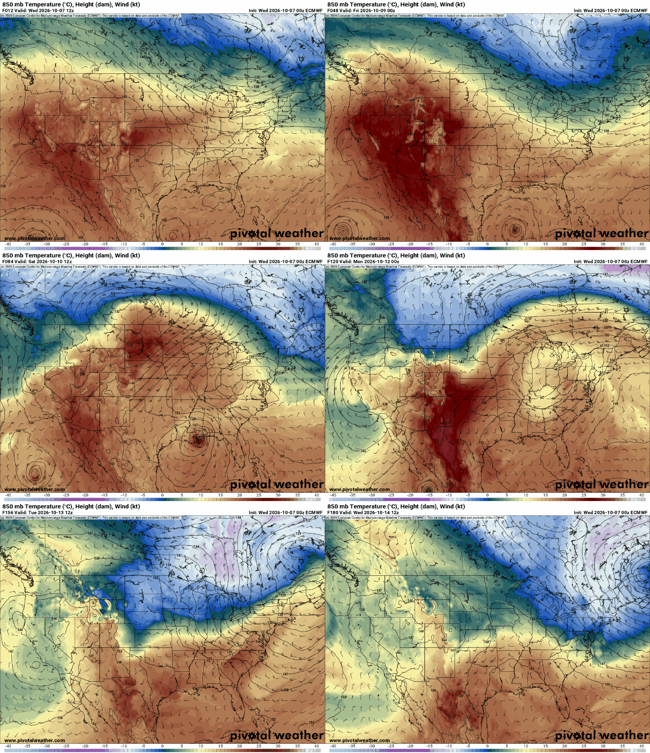
While it will be considerably cooler, those temperatures next week are right near normal. In the Twin Cities, we can expect highs near 60 degrees and overnight lows in the 40s, possibly 30s for the first time this season, officially.

There’s a potential midweek storm system brewing for next week but forecast models are quite literally all over the map with the track. Here are two potential scenarios for placement of the system by next Wednesday night:

The system has the potential to deliver some significant moisture, which we could certainly use after these dry, breezy and warm days.