
A taste of July temperatures for the weekend
Much cooler, seasonable air returns next week
Go Deeper.
Create an account or log in to save stories.
Like this?
Thanks for liking this story! We have added it to a list of your favorite stories.


Today will be closer to normal, with highs mostly in the 60s but already things warm up tomorrow and especially for the weekend. Much cooler air returns next week.
Cooler today but a taste of July temperatures for the weekend
Today will be a little cooler than yesterday but still actually a bit above normal. We’ll see afternoon highs range from the upper 60s south to upper 50s north. There will be a bit more cloud cover occasionally today also.

Warmer air starts to push back into Minnesota already on Friday. Highs will be near 80-degrees for some in western Minnesota with widespread 70s again across central and southern Minnesota with plenty of sunshine.

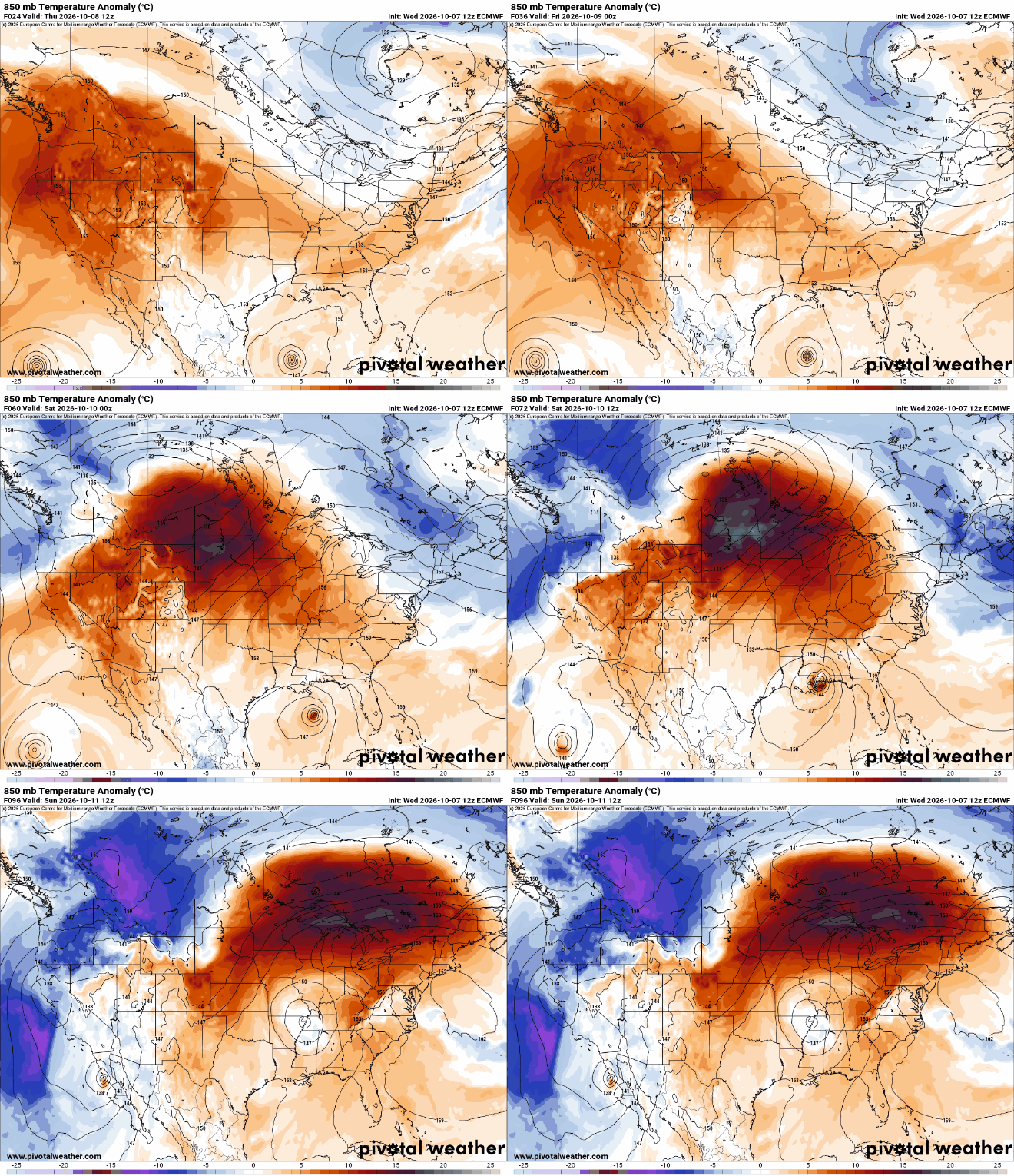
We’re still on track for temperatures that are average for mid July come Saturday. Highs will be in the mid 80s across much of southern Minnesota. It will also likely be near 80-degrees for the Twin Cities and southeast Minnesota Sunday before a potent cool front slides through.

Temperatures next week will be much more realistic and near-normal with mostly 50s and 60s by Tuesday and for the remainder of the week.
We’re still keeping our eye on a storm system that will affect the central U.S. at some point mid to late next week. We sure could use the moisture if the system tracks through Minnesota.
Turn Up Your Support
MPR News helps you turn down the noise and build shared understanding. Turn up your support for this public resource and keep trusted journalism accessible to all.

