
Two waves of colder rain next week
From a hint of tropical moisture to snowflakes flying (what!?) it will be a busier stretch

Go Deeper.
Create an account or log in to save stories.
Like this?
Thanks for liking this story! We have added it to a list of your favorite stories.


Drought remains largely unchanged across Minnesota in the October 7 update from the U.S. Drought Monitor. That comes out each Thursday morning. Despite the fact that the Twin Cities region is nearly seven inches behind on precipitation in 2026 - when compared with the average year-to-date - soil moisture has improved deeper into the soils nearby. Farmers may also want dry weather now as they strive to catch up on the harvest. The newest United States Department of Agriculture report, released Monday, shows that soybeans were at a 25 percent harvest rate. Normally that is 51 percent through the same date across Minnesota.
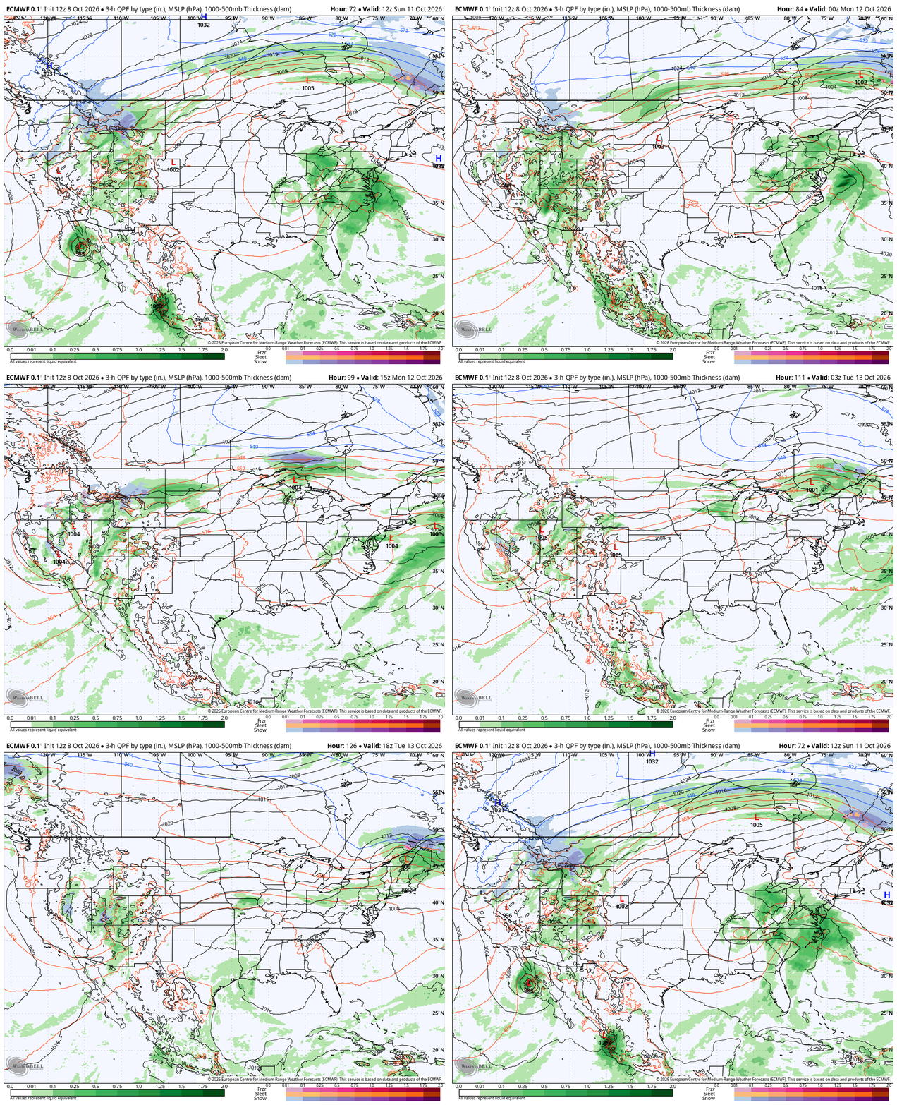
We are mostly dry through the coming weekend. That dry weather happens even as our weather team tracks three named tropical systems. There is Hurricane Isaias in the Atlantic, with Rachel and Simon in the Pacific. Only Rachel could tangentially impact Minnesota with rain. That could come Sunday night for northwest Minnesota. Rain stalls out up there before spreading to the rest of the state on Monday.
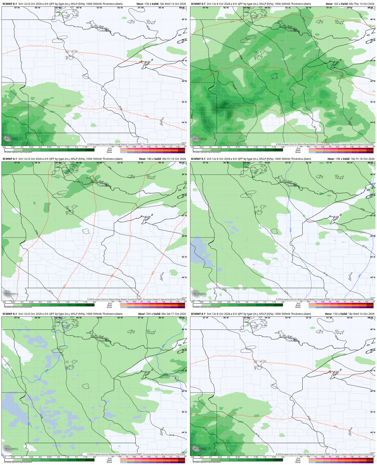
That rain will be fairly widespread and decently heavy. Temperatures then drop substantially for the workweek. Another powerful front brings a more direct pop of rain coming from the Rockies. That might even have a hint of snow for northern Minnesota. That’s actually totally common up north. International Falls typically gets its first measurable snow on October 22. This would be only a few days before.
Turn Up Your Support
MPR News helps you turn down the noise and build shared understanding. Turn up your support for this public resource and keep trusted journalism accessible to all.

