
October's summer encore: 80s, wind and possible records
Air quality alert for blowing dust in southwestern Minnesota

Go Deeper.
Create an account or log in to save stories.
Like this?
Thanks for liking this story! We have added it to a list of your favorite stories.


October is delivering a summerlike feel across Minnesota this weekend, with near-record high temperatures and strong southerly winds taking center stage.
Near-record heat Saturday, records possible Sunday
We’re cranking up the heat this weekend, with highs soaring into the 80s and maybe even a few spots hitting the lower 90s. Not exactly sweater weather. Temperatures are running 20-30 degrees above our seasonal average.
Saturday looks to be the hotter of the two days, but Sunday could steal the spotlight when it comes to records. We’re eyeing some daily records that could fall, including in the Twin Cities, St. Cloud, International Falls, Brainerd and Eau Claire. Sunday’s records are a little easier to beat, so don’t be surprised if we make a little weather history before the weekend is over.
And it won’t just be the temperatures making a scene. Strong southerly winds will be cranking, especially across southwestern Minnesota, where gusts could top 40 to 50 mph along the Buffalo Ridge area.
Turn Up Your Support
MPR News helps you turn down the noise and build shared understanding. Turn up your support for this public resource and keep trusted journalism accessible to all.

Air quality and fire weather concerns
Our strong southerly winds could kick up dust across southwestern Minnesota, prompting an air quality alert. With gusts over 40 to 50 mph and plenty of dry fields after harvest, it could get a little dusty. Sensitive groups should take it easy outdoors, and everyone should be mindful of blowing dust.

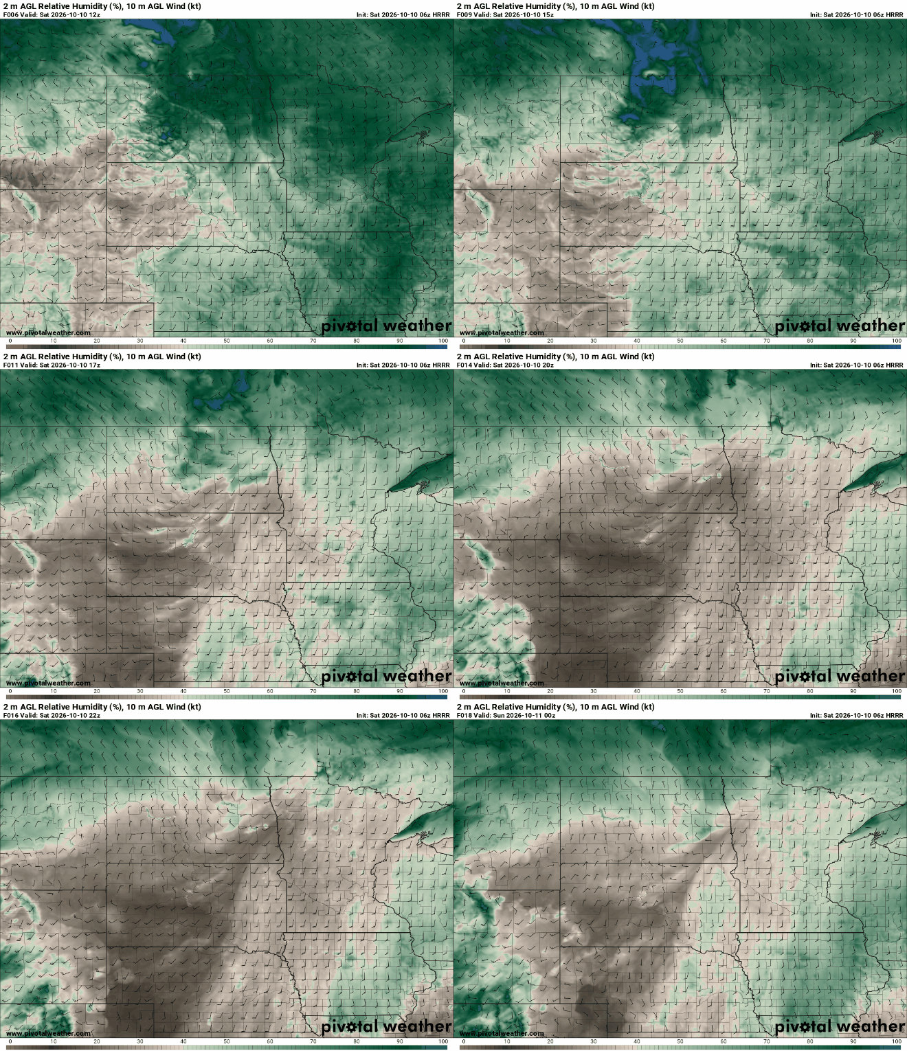
These strong winds and humidity dipping into the 20s and 30s will bring an elevated fire weather risk Saturday, especially across western Minnesota.
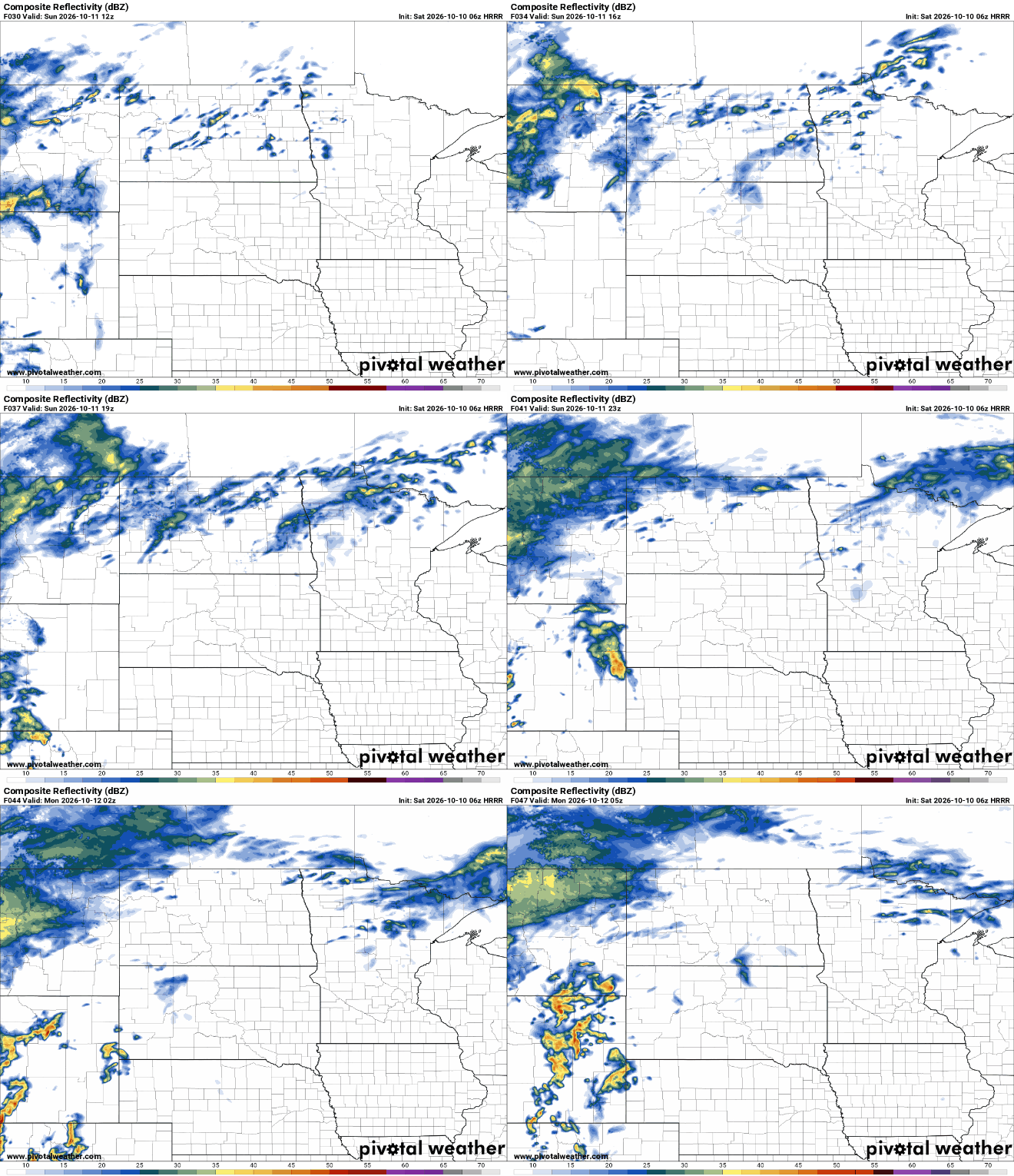
A sharp cold front sweeps through Sunday into Monday, potentially tossing a few showers into northern Minnesota before cooler air settles in.
Enjoy the bonus summer vibes while they last, because fall is waiting in the wings. Next week looks much more seasonable, with highs settling closer to normal and a chance for some rain on Thursday. How much rain we get is still up in the air, but cooler weather looks increasingly likely.


