
30 degree drop-off coming soon, plus first snowflakes
From record-high heat to frosty weather, it's going to be a wild week across Minnesota.

Go Deeper.
Create an account or log in to save stories.
Like this?
Thanks for liking this story! We have added it to a list of your favorite stories.


From the highs in the 90s to highs in the 50s, a few showers to a couple of snowflakes, and even the first frost for much of the state, get ready for what will be a transitional weather week.
Big-time temperature drop ahead
Prior to this weekend, the Twin Cities had only recorded four 90-degree days in October. We just added two back-to-back entries onto that list. The 90s are done and we now have 40s spread across Minnesota. Parts of the North Shore are in the 30s Monday afternoon while folks in the Driftless Area are in the 80s. There are also rain showers advancing into northern Minnesota, leading to a damp and cold feel Monday evening.
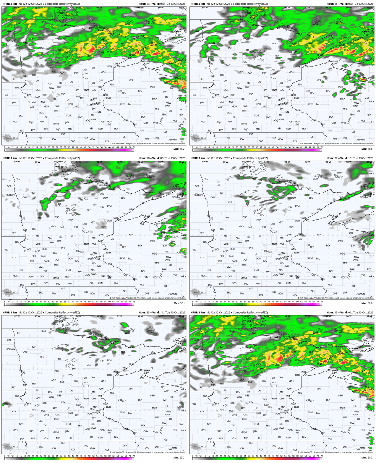
Only a couple of rain showers will try to form early Monday evening around the Twin Cities. Then temperatures will begin to crumble behind a stalled-out front. Even without much rain Monday night, we’re on the way to a real chill!
Back to reality
It’s easy for me to think of this heat as normal, when everyone seemed to be out and about, enjoying the warmth and fall colors. After all, it still looked like fall while I walked to Nicollet Island on Sunday. High school seniors were having photo shoots and leaves were dropping, but folks were also sunbathing near Boom Island!
Turn Up Your Support
MPR News helps you turn down the noise and build shared understanding. Turn up your support for this public resource and keep trusted journalism accessible to all.
Normal for this time of the year, though, is highs in the 50s and 60s. To a large degree, that’s what we have in store the rest of the workweek across the North Star State. The Mississippi River Valley will try to form some fog and stay a little milder Tuesday morning, but there is not much warming happening anywhere by Tuesday afternoon.


Dating well back into last week, there was a trend to form a tiny ribbon of rain from St. Peter and Mankato towards the Twin Cities Tuesday evening around dinner time. That’s still showing up on many maps, including the one you see below. This is not likely to be hugely impactful for most. We do have another powerful front Thursday into Friday, though rain has not appeared as widespread for much of the state. The dry slot of the storm, where we don’t get much rain, is huge; that could prevent some rain for a huge swath of Minnesota.

This powerful cold front does lead to a secondary drop in temperatures for Friday. This should be the coldest morning of the season for the Twin Cities and the southern half of Minnesota. Brrrr! Frost does not look too likely yet — nor for next week — but it will be sweater weather. Saturday morning is likely to be even colder.
A longer lead time
We warm back up into next week, a sign of another approaching front. The Climate Prediction Center is already pinging Oct. 21 as a really windy day across the Great Plains and Upper Midwest. There are also signs of a big rain event that day, continuing into Oct. 22. Right now, it’s still too early for details, but the middle of next week could cause an abrupt end to the peak of fall color across much of Minnesota.

