
Cool front creates a big temperature divide and some showers
Much cooler air moves in after today

Go Deeper.
Create an account or log in to save stories.
Like this?
Thanks for liking this story! We have added it to a list of your favorite stories.


We have another summer-like day for southern Minnesota with cooler air and showers north. Cooler air spreads statewide tonight and for the rest of the week.
Cool front creates a big temperature divide and some showers
We’ll have a big temperature divide as a slow-moving cool front makes its way south. Highs in far northern Minnesota will be just in the upper 40s while southeast Minnesota sees highs in the 80s yet again.

The front will also blanket central and northern Minnesota with clouds and some scattered rain showers. We could see a few showers pop up late in the afternoon and evening in the Twin Cities.
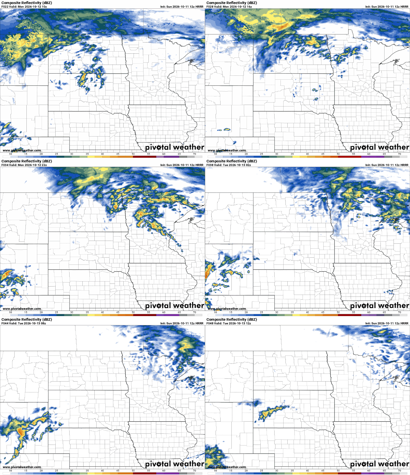
That cooler air finally takes hold over the whole state tonight into Tuesday. Temperatures will be nearly 20-degrees cooler in southern Minnesota with highs in the 60s. Northern Minnesota will see highs in the 50s.

A developing storm system could bring some showers to southern Minnesota Thursday into Friday. Right now the best chance of significant rainfall totals look to be in the southern most counties into Iowa.
Even cooler air slides in behind that system regardless of if we receive rainfall or not. Highs Friday and Saturday will be just in the 50s and 40s.

We could see our first overnight low in the 30s officially in the Twin Cities Friday night. The coolest the temperature has been so far at the Minneapolis-St. Paul International Airport is just 44-degrees, despite the normal low being 43.

Turn Up Your Support
MPR News helps you turn down the noise and build shared understanding. Turn up your support for this public resource and keep trusted journalism accessible to all.

