
More seasonable temperatures settle in
Fleeting chances of some showers Tuesday and Thursday
Go Deeper.
Create an account or log in to save stories.
Like this?
Thanks for liking this story! We have added it to a list of your favorite stories.


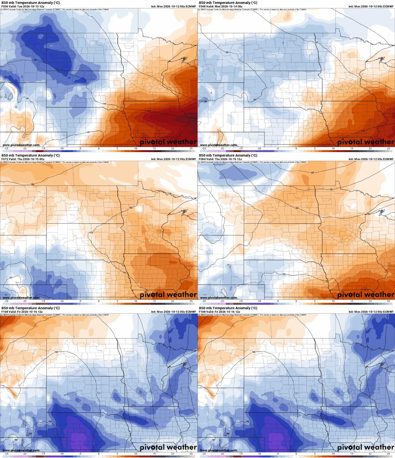
The odd October heat has moved on. Temperatures will be closer to normal Tuesday with a few showers. Another system grazes southern Minnesota Thursday.
More seasonable temperatures settle in
Temperatures will be closer to normal Tuesday, although still be a few degrees above normal for southern Minnesota. Afternoon highs will range from near 50 degrees in northern Minnesota to the mid-60s southeast.

We’ll have more clouds than sunshine with the possibility of a few pop-up showers. If you’re looking for any significant rainfall, you’re out of luck.
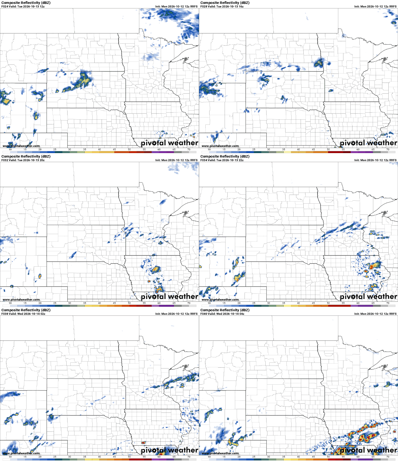
Temperatures will be a bit cooler yet for Wednesday but we should see more sunshine, especially midday into the afternoon.
Turn Up Your Support
MPR News helps you turn down the noise and build shared understanding. Turn up your support for this public resource and keep trusted journalism accessible to all.

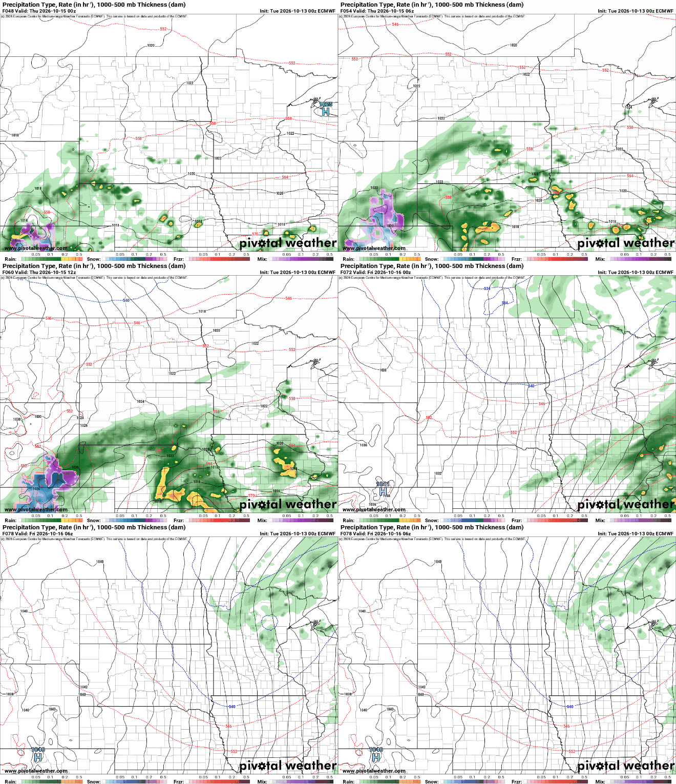
A storm system will develop and move through the central United States late Wednesday into Thursday and Thursday night. Most significant moisture looks to remain in Nebraska and Iowa with southern Minnesota up to the Twin Cities receiving some rainfall during the day Thursday.
After colder air, 70s return to southern Minnesota next week
Behind the system even colder air moves in. That air mass will drop high temperatures into the 50s and 40s for Friday and Saturday.
It will also set us up for our coldest night this season Friday night, with widespread frost for southern Minnesota outside the urban core of the Twin Cities.

The cold won’t last long.
Several forecast models push temperatures back into the 70s for highs for southern Minnesota next week. This October sure is living up to the warmer-than-normal forecast.

