
Cool, seasonable air lingers with showers developing Thursday
Warmer air returns yet again next week
Go Deeper.
Create an account or log in to save stories.
Like this?
Thanks for liking this story! We have added it to a list of your favorite stories.


Wednesday will be another cool, but near-normal day for temperatures. We should see some afternoon sun peek out. Showers develop for Thursday followed by chilly air.
Cool air lingers with showers developing Thursday
It’ll be another cool but perfectly seasonable day Wednesday. Afternoon highs will mostly be in the 50s to low 60s in southeast Minnesota. We’ll start mostly cloudy but should see some afternoon sunshine.

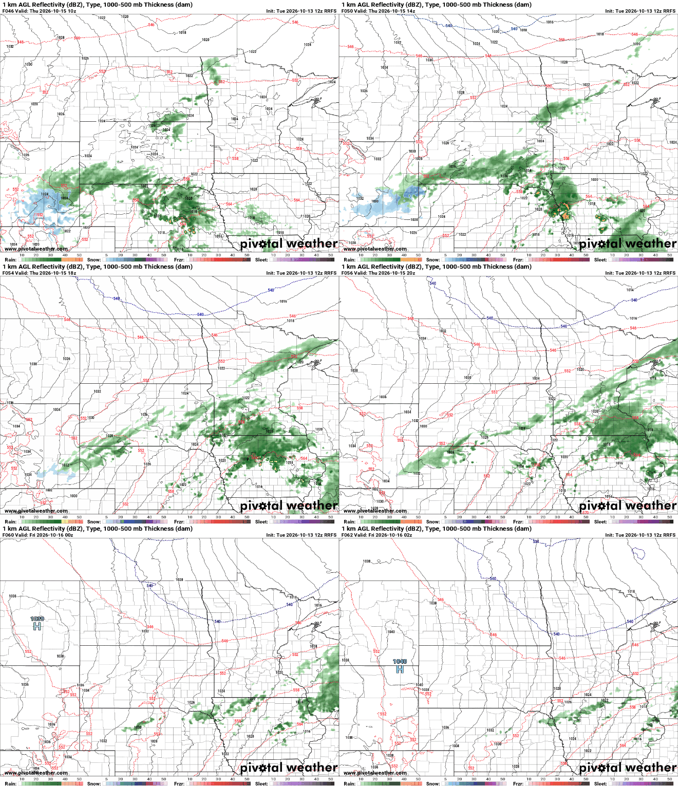
Some hopeful rain showers are on the way for Thursday. A storm system will drop significant rainfall across Nebraska and Iowa but some rain will spread into southern Minnesota, including the Twin Cities early Thursday.
Anywhere from 0.10 to 0.50 inches of rain could fall across portions of southern Minnesota during the day Thursday, wrapping up by Thursday evening.

Behind the system a short blast of even chillier air moves in for Friday into early Saturday. Highs Friday will be just in the 50s with 40s only north. Sunshine should break out by afternoon.

The cool, dry air will set us up for a frosty Friday night for most. All but likely the urban heat island of the inner Twin Cities should see temperatures dip to near-freezing. Northern Minnesota will see lows in the 20s Friday night into early Saturday.

Temperatures will already begin to warm up Saturday afternoon into early next week with 60s returning to southern Minnesota. We are likely to even see highs back in they 70s by Tuesday or Wednesday of next week.
Turn Up Your Support
MPR News helps you turn down the noise and build shared understanding. Turn up your support for this public resource and keep trusted journalism accessible to all.

