
Weather whiplash: Temperature swings, periods of rainy then dry conditions over next week

Go Deeper.
Create an account or log in to save stories.
Like this?
Thanks for liking this story! We have added it to a list of your favorite stories.


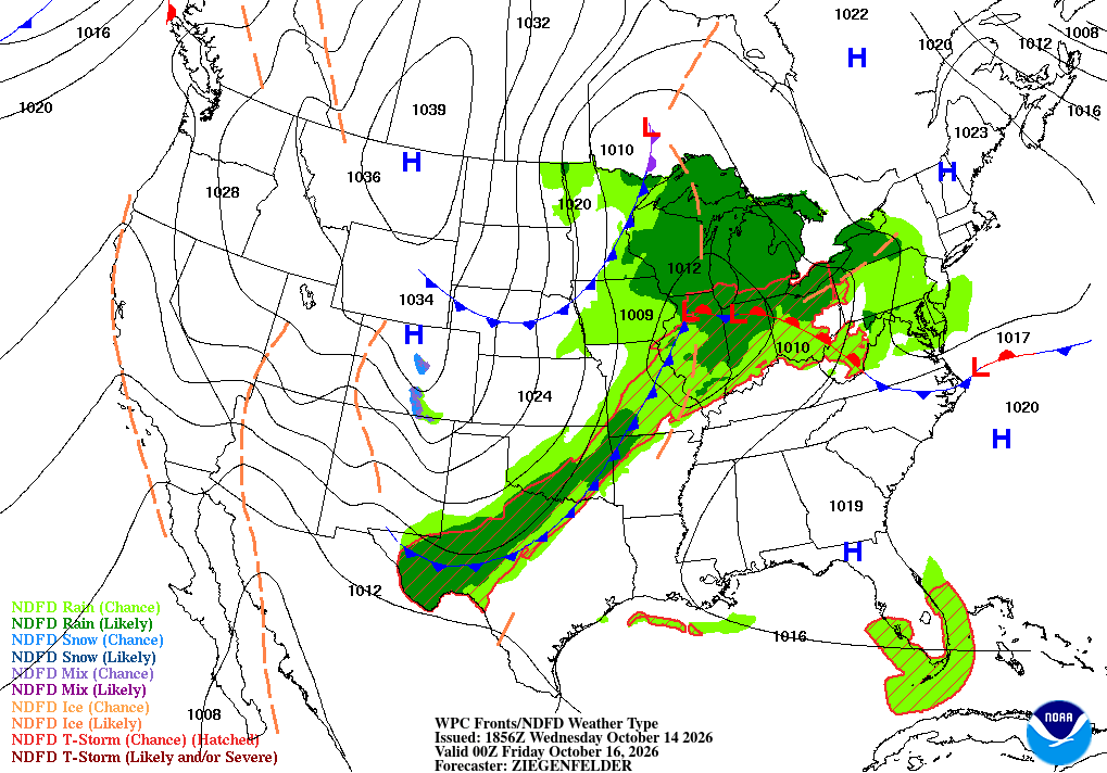
High pressure over Minnesota Wednesday will slowly give way to a cut-off area of low pressure currently over the Four Corners region that will interact with an upper level trough moving in from the Canadian Prairies to bring a chance of rain across parts of the state.
A rainy day Friday
Rain develops first in southwestern Minnesota late Wednesday into the overnight hours, then expands across southern and eastern portions of the state Thursday. As much as a quarter to a half-inch of rain is possible and there is good agreement among various computer models that southern Minnesota could see greater than half-inch amounts, with locally higher totals possible near the Iowa border.
The rain tapers off Thursday night into Friday as northwest winds increase, with gusts reaching 25 to 40 mph — especially in western parts of the state — and a few snowflakes possibly mixing with lingering rain in the Arrowhead early Friday.

High pressure will return to the Northern Plains beginning on Friday, bringing sunny skies an end to the precipitation. However, along with the clear skies, it will be a windy day on Friday with very cold overnight period Friday into Saturday — the coldest air we’ve seen so far this season.
Looking ahead to next week, with highs reaching the mid-60s statewide on Monday and possibly 70 in the Twin Cities and southern Minnesota on Tuesday.

Today in weather history
On Oct. 14, 1966, a tornado moving west to east touched down several times about 12 miles west of Albert Lea in Freeborn County. It damaged property on two farms, although one barn was only dented despite being struck by flying debris. Total damage was estimated at approximately $2,000.
Turn Up Your Support
MPR News helps you turn down the noise and build shared understanding. Turn up your support for this public resource and keep trusted journalism accessible to all.

