
Rain showers Thursday followed by a brief blast of cold
Temps warm up already over the weekend

Go Deeper.
Create an account or log in to save stories.
Like this?
Thanks for liking this story! We have added it to a list of your favorite stories.


Scattered rain showers develop for southern Minnesota Thursday. A brief shot of cold air moves in behind it for Friday into early Saturday. Temps warm up quickly into next week.
Rain showers Thursday followed by a brief blast of cold
Scattered rain showers will continue to develop across southern Minnesota Thursday morning into the afternoon. Rainfall will largely be limited to the southern half of Minnesota into Wisconsin. Northern Minnesota will see more spotty shower activity.
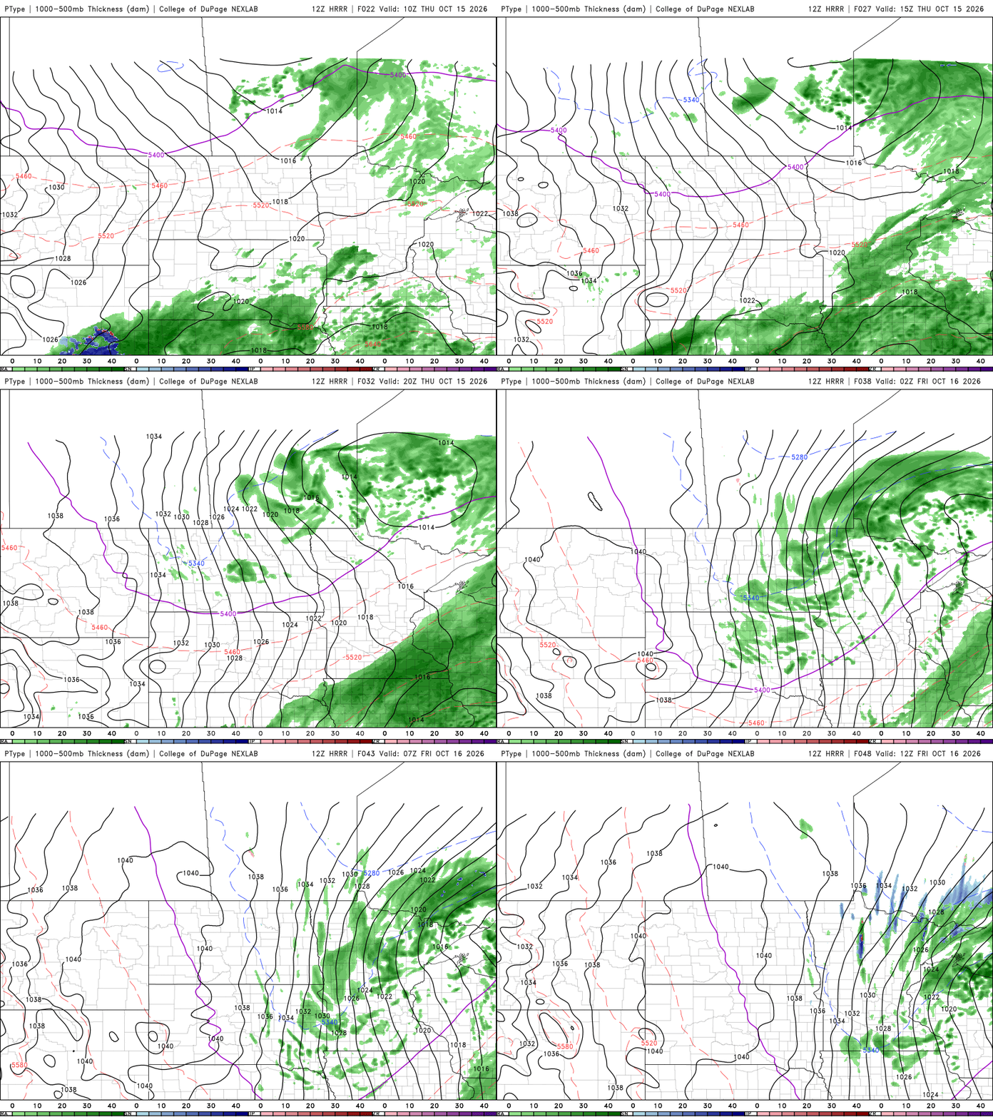
A half inch or more of rain could fall in parts of far southern and southeast Minnesota up into the Twin Cities. Lesser amounts can be expected north and west.
Behind the system, clouds will decrease Friday and colder air moves in. Afternoon highs Friday will only be in the 50s and 40s. It will also be rather windy with northwest winds 15-30 mph. Gusts will be up to 40-45 mph.

That blast of cool air and clearing skies will lead to a frosty overnight Friday night for most. Almost all of Minnesota outside the urban heat island core within the 494/694 loop will see temperatures near or below freezing into early Saturday morning.

Temps warm up quickly though. We’ll see highs in the low 60s Saturday and into the upper 60s by Sunday with 70s likely for southern Minnesota by early to mid next week. We’ll also see a stretch of sunny weather Friday afternoon into the middle of next week.
Turn Up Your Support
MPR News helps you turn down the noise and build shared understanding. Turn up your support for this public resource and keep trusted journalism accessible to all.

