
Brief blast of cold and wind ahead of a nice weekend
Highs will be near 70-degrees next week
Go Deeper.
Create an account or log in to save stories.
Like this?
Thanks for liking this story! We have added it to a list of your favorite stories.


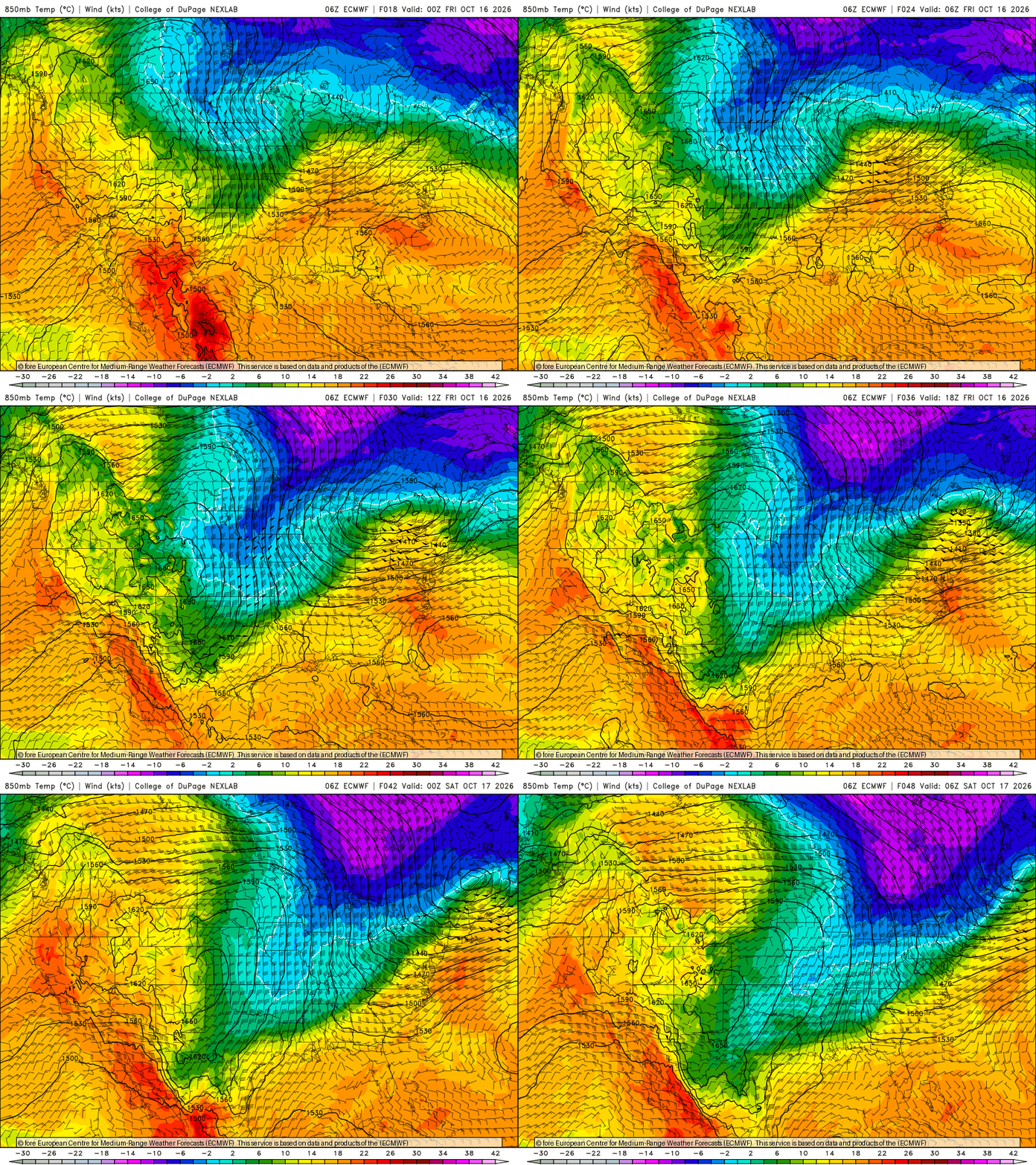
Windy and cold describe the next 24 hours. A brief, potent blast of cold air moves through, then skies clear later Friday with sunshine all weekend.
Brief blast of cold, wind ahead of a nice weekend
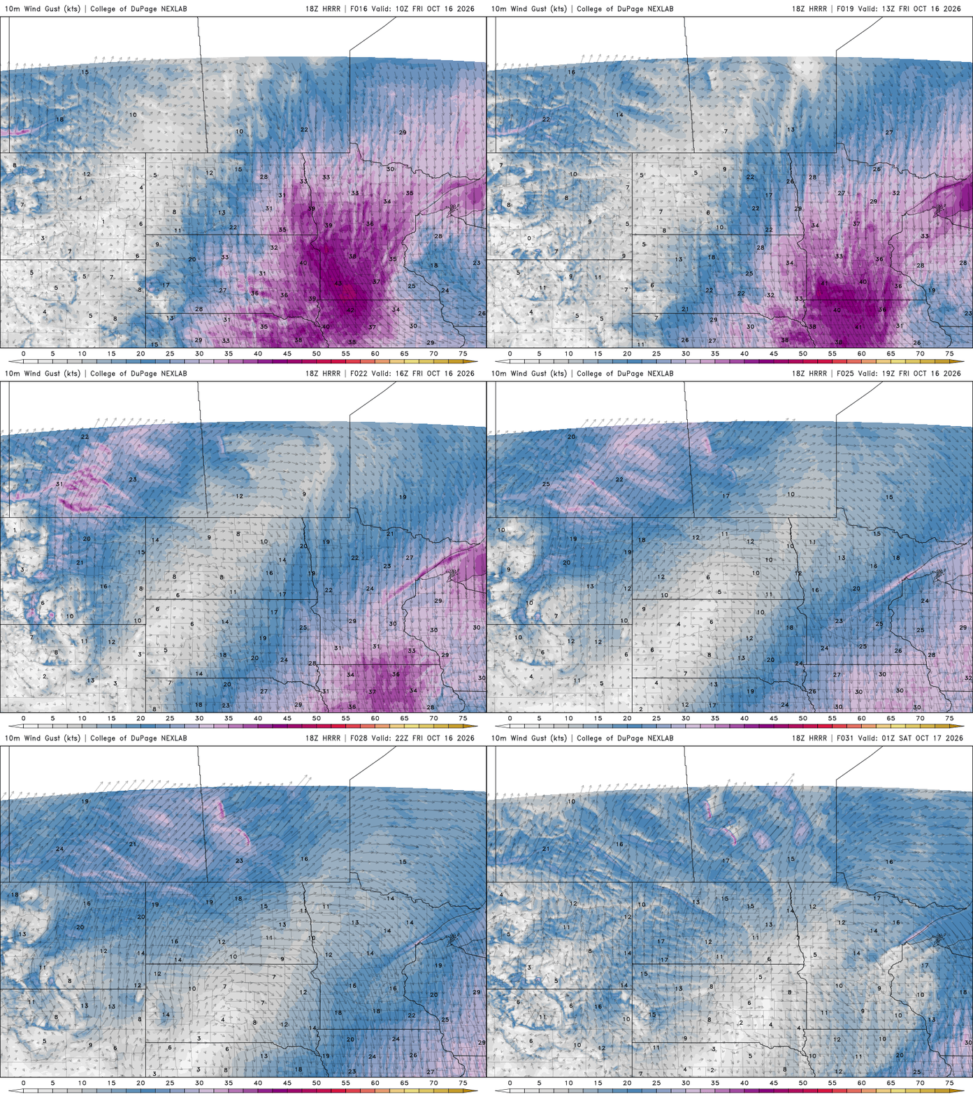
Gusty northwest winds will continue to blow in colder air Friday. Winds will blow at 15 to 30 mph with gusts as high as 40 to 45 mph. Some gusts could be higher in western Minnesota.
Most temperatures will remain in the 40s to low 50s on Friday, making for a chilly day combined with the winds. That’s about 5 to 10 degrees below normal, but we’ve been pretty warm this month up until now.

We’ll also see clouds clear out through the day Friday, making for a brighter afternoon and clear overnight. Combined with winds dying down, that clearing will lead to widespread frost in southern Minnesota — outside the Twin Cities urban heat island — with a hard freeze north.
Turn Up Your Support
MPR News helps you turn down the noise and build shared understanding. Turn up your support for this public resource and keep trusted journalism accessible to all.
Even most suburbs should see frost.

There are frost advisories and freeze warnings posted for Friday night into early Saturday for much of central and southern Minnesota into western Wisconsin.

We’ll have lots of sunshine all weekend and into early next week. Temperatures will already warm to near 60 degrees by Saturday with warmer temperatures on Sunday afternoon.

Next week will bring high temperatures to near 70 degrees across southern and western Minnesota midweek. Our next chance of rain won’t be until late next week.

