
Freeze frame: Better cover up those plants
For many Minnesotans, this will be the night that wraps up the growing season.

Go Deeper.
Create an account or log in to save stories.
Like this?
Thanks for liking this story! We have added it to a list of your favorite stories.


Do you have plants growing outdoors that you are worried about freezing? You better cover them up before bed Friday night. A Freeze Warning is posted for most of southern Minnesota. Saturday morning will be quite easily the coldest morning of the season for most of Minnesota. We have not even been average yet for the morning temperatures.
Why not the north? Well, the fall freeze alerts are only posted when the growing season is still going on. We at MPR, along with the National Weather Service, consider the growing season cold up north — so no more freeze alerts.
Freeze frame

Right above, you get a glimpse of just hold cold it will be. Until Friday night, it’s been fairly mild. If you can keep your plants going past, say, 11 a.m. on Saturday, you should remain in good shape for a longer growing season until closer to Halloween. Saturday afternoon is all clear with lighter winds and pleasant weather; we go right back to pretty normal for mid-October. Many will be in the mid-50s, with the upper 50s (or even a rare 60) down south in the Driftless Area and Twin Cities.
Sunday temperatures will go up even more, into the 60s for many. That’s back above average and the morning does not bring a big risk for frost.
Turn Up Your Support
MPR News helps you turn down the noise and build shared understanding. Turn up your support for this public resource and keep trusted journalism accessible to all.
Quieter workweek ahead
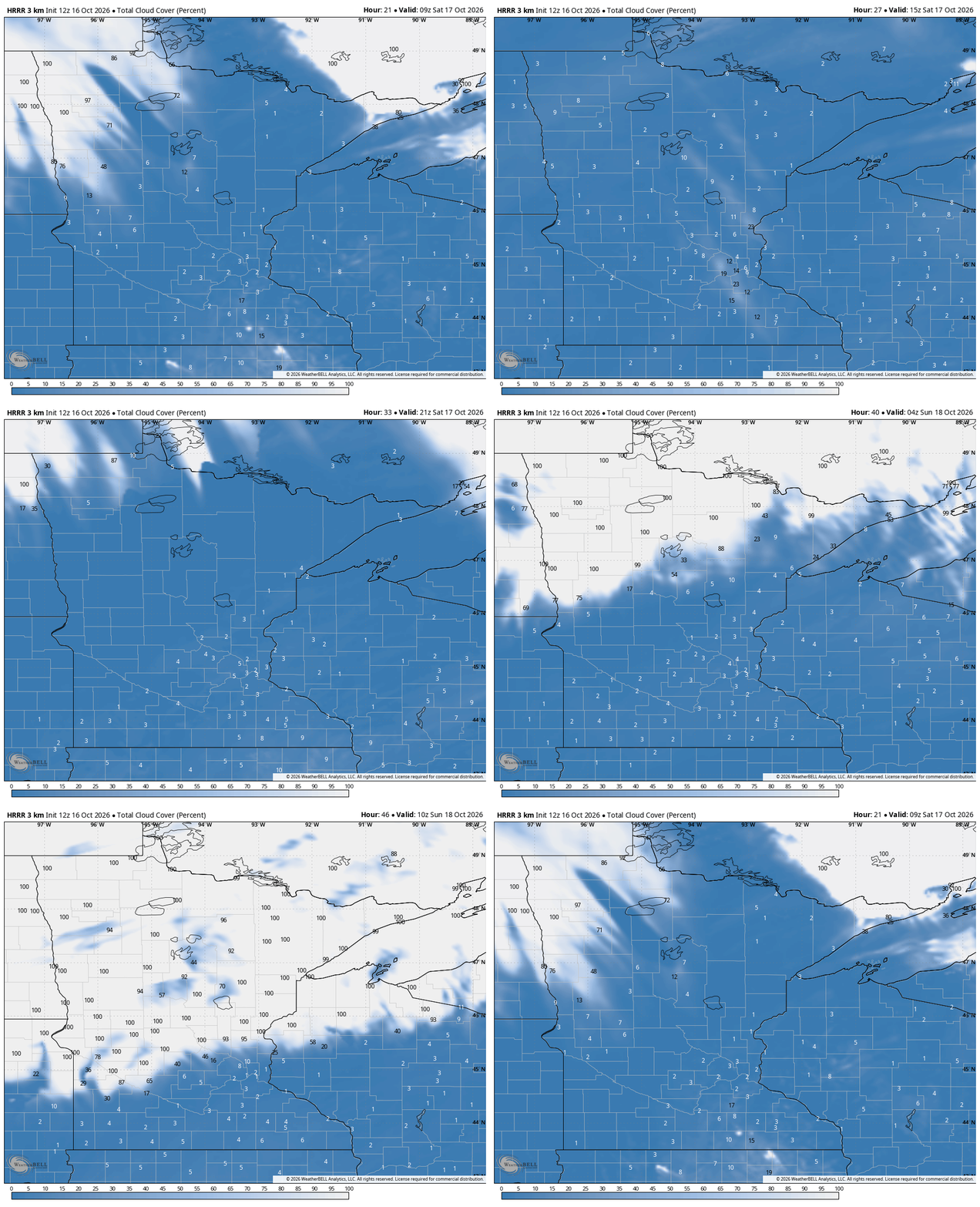
Monday, Tuesday and most of Wednesday have basically no active weather. The MPR meteorologist team will be busy with live astronaut interviews, planning El Niño stories, and working on Climate Casts all the way into 2027. All the while, temperatures will be climbing to near 70 degrees in southern Minnesota and the 60s elsewhere.
Starting on Wednesday, there may be some tiny showers way up north and way down south. Even Thursday’s isolated rain chances are looking pretty small.

The next best chance of rain, by a long margin, is next Saturday. This powerful cold front will drop temperatures into the the following week. For now, temperatures look pretty mild all the way out to Halloween.

Winter is coming
Our Updrafts will follow unique twists to a powerful El Niño winter ahead! On the heels of the new (federal version) 90-day trend from NOAA, the Duluth office of the weather service has its own slide deck out. Thanks for the hat tip, Duluth NWS; you reminded me to register for the webinar this week. The big takeaway we all want you to get for this winter is we will still get cold and we will still have snow. The climate signal is snowstorms before Christmas, some of which can be really heavy in El Niño years. That includes the Blizzard of 1991.



