
Warmer night will kick off an unseasonably warm week ahead
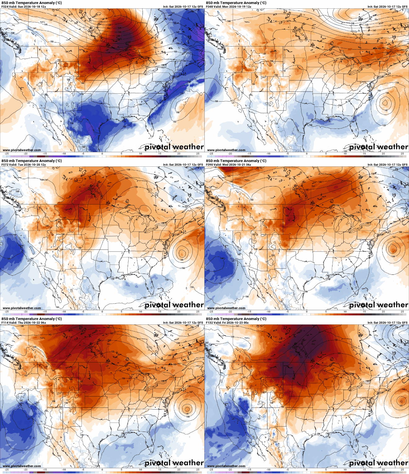
Temperatures run 10-15 degrees above normal by midweek

Go Deeper.
Create an account or log in to save stories.
Like this?
Thanks for liking this story! We have added it to a list of your favorite stories.


After a chilly start to Saturday, warmer weather is moving back into Minnesota, and it looks like the mild pattern will stick around for a while. Saturday night will be warmer than Friday night, with temperatures trending above normal through the upcoming week and mostly dry conditions expected.
Warmer temperatures Saturday night
Saturday morning brought the first widespread freeze of the season across much of the area outside the Twin Cities urban core. The Twin Cities dropped to 36 degrees, marking the first time temperatures fell below 40 degrees this fall.
Saturday night should be noticeably milder, with southwest winds helping keep temperatures from dropping as much as they did Friday night into Saturday morning.

The weather pattern is expected to remain fairly stagnant through the coming week, allowing a mild air mass to settle across much of the central United States.
High temperatures are expected to reach the 60s Monday and Tuesday before climbing into the 70s from Wednesday through next weekend. These readings will be well above normal for the second half of October, giving us an extended stretch of unseasonably warm weather.
If you're hoping for some much-needed rainfall, you'll likely have to wait a little longer. Dry weather is expected to dominate through most of the upcoming week, with the next potential opportunity for rain not arriving until next weekend.
Turn Up Your Support
MPR News helps you turn down the noise and build shared understanding. Turn up your support for this public resource and keep trusted journalism accessible to all.

