
A forecast stuck on repeat: Sunshine, warmth and no rain
Temperatures trending 15-20 degrees above average

Go Deeper.
Create an account or log in to save stories.
Like this?
Thanks for liking this story! We have added it to a list of your favorite stories.


If you’re looking for a change in the weather, good luck. Mother Nature has apparently lost the remote, and we’re stuck on the same channel all week. Sunshine, dry conditions and temperatures more typical of late summer than mid-October will continue to dominate the weather pattern this week.
Stuck in a weather rut
Our persistent stretch of quiet weather is due to an omega blocking pattern. This large-scale atmospheric setup features a ridge of high pressure sandwiched between areas of lower pressure, creating a pattern that resembles the Greek letter omega (Ω) on upper-air maps.

When we get stuck in this pattern, the weather doesn’t change much from day to day. Expect plenty of sunshine, temperatures running well above average and very little rain.

Southerly winds will help keep temperatures running 15 to 20 degrees above normal through Saturday. Afternoon highs are expected to climb into the 70s, with mid to upper 70s possible toward the end of the week.
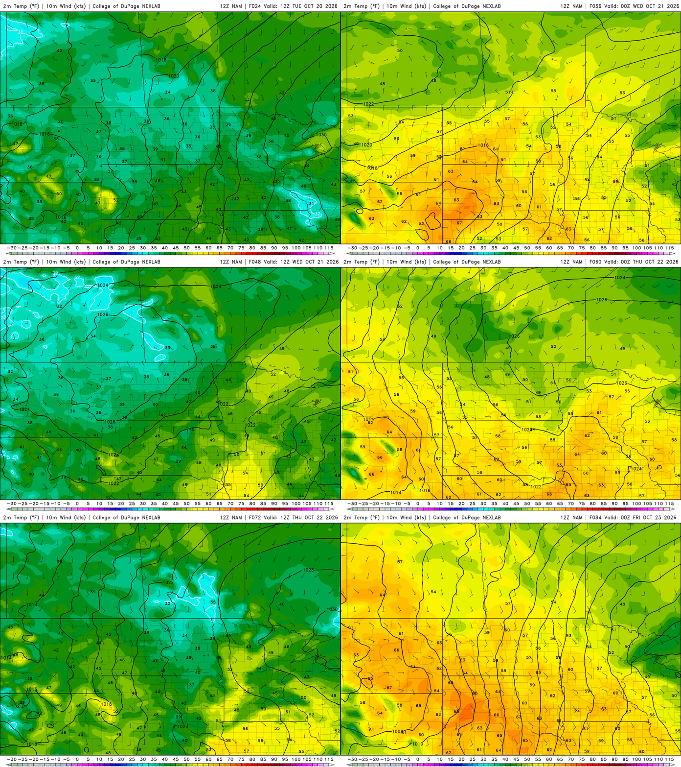
Rain continues to be a no-show in the forecast, but the next chances finally begin to creep back in this weekend as a weak cold front approaches Minnesota. If showers develop, they’ll likely be scattered and relatively unimpressive.
Behind the weekend front, high pressure is expected to move in and bring temperatures back closer to seasonal averages. The big question is whether that cooler air arrives Sunday or holds off until Monday.

Either way, a return toward more typical October temperatures appears likely as we move into the start of next week. Until then, our shorts and sunglasses can remain on standby.
Turn Up Your Support
MPR News helps you turn down the noise and build shared understanding. Turn up your support for this public resource and keep trusted journalism accessible to all.

