
The dry, sunny weather continues with warmer temps ahead
Highs in the 70s are likely mid to late week
Go Deeper.
Create an account or log in to save stories.
Like this?
Thanks for liking this story! We have added it to a list of your favorite stories.


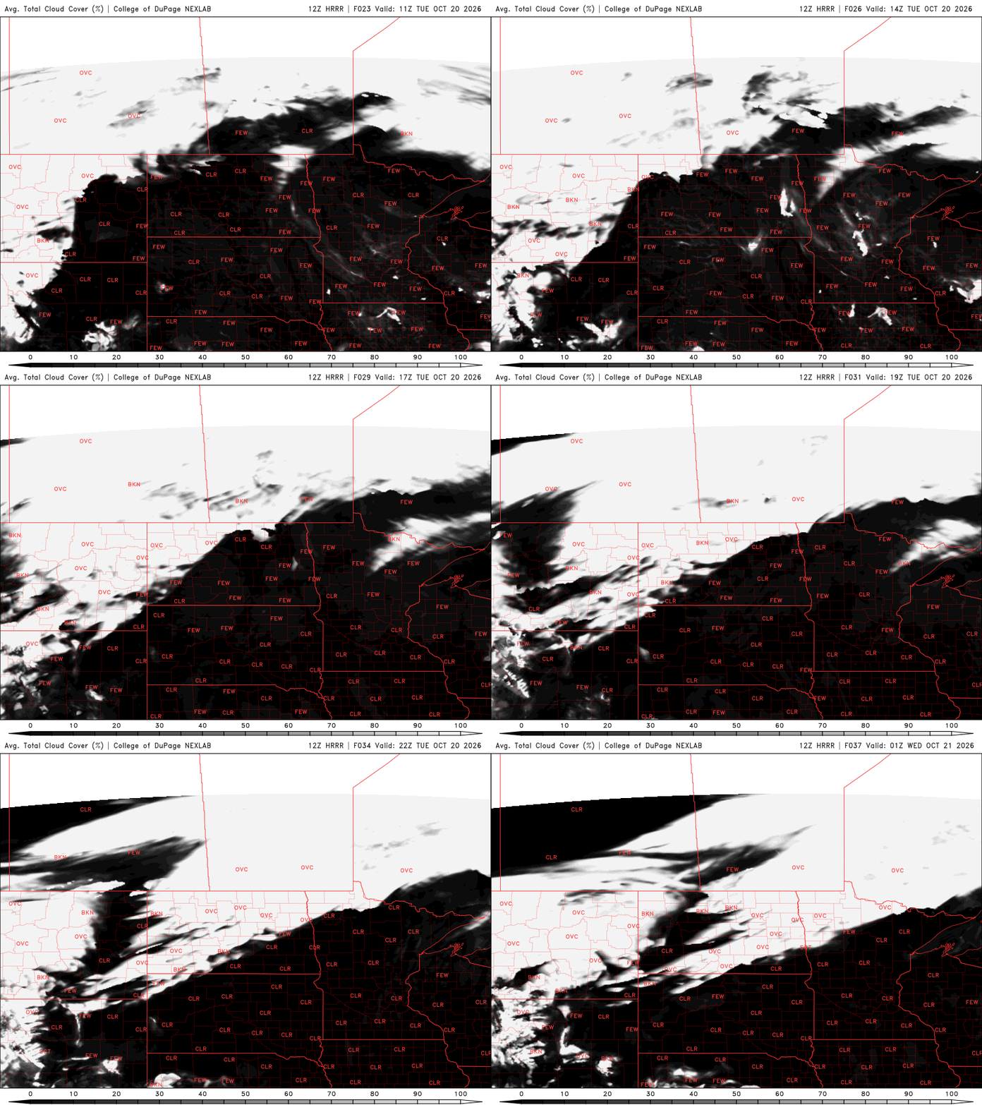
The streak of sunny days continues Tuesday into Thursday. We’ll see just a few more clouds Friday and for the weekend. Temps will continue to run above normal.
The dry, sunny weather continues with warmer temps ahead
It’s a rinse and repeat type of forecast. We’ll see more sunshine today with seasonably mild temps. Afternoon highs will be in the 60s again for most with some 70-degree readings in western Minnesota. Normal highs are mainly in the 50s.

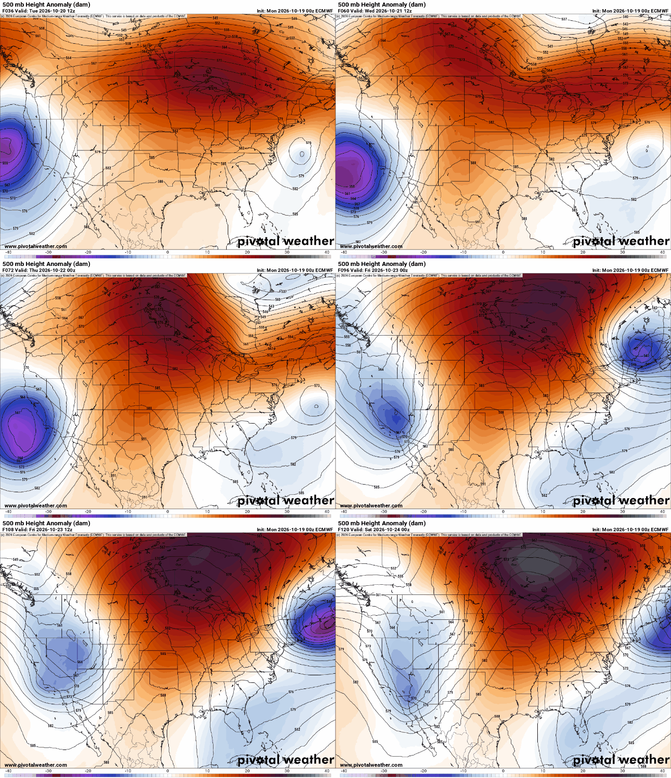
Starting tomorrow, into the weekend, we’ll see temperatures warm up even more as a large-scale upper level, ‘omega’ blocking pattern develops. Essentially, cool, stormy conditions on each coast props up the warmth in the central part of the country.
Highs Wednesday will top out in the 70s for much of southern and western Minnesota. We can look for low 70s in the Twin Cities. Those readings are about 15 to 20 degrees above normal.

Thursday and Saturday look like the warmest possible days. We could see a few spots in western and southwest Minnesota reach a whopping 80-degrees. The record high for places like Canby and Madison are 81 and 82-degrees, respectively.

A cool front will finally push through late in the weekend, dropping temperatures to more seasonable levels and hopefully delivering our next best chance of some rain showers. Western Minnesota could see a few showers with a disturbance on Friday.
Turn Up Your Support
MPR News helps you turn down the noise and build shared understanding. Turn up your support for this public resource and keep trusted journalism accessible to all.

