
Cool, showery start to the week with milder air returning
Highs will be back in the 60s mid to late week
Go Deeper.
Create an account or log in to save stories.
Like this?
Thanks for liking this story! We have added it to a list of your favorite stories.


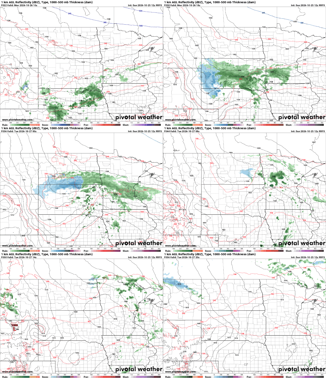
It’ll be chilly with scattered rain showers Monday into Monday night. Warmer air moves in for mid to late week already. We’ll also have some additional rain chances this week.
Cool, showery start to the week with milder air returning
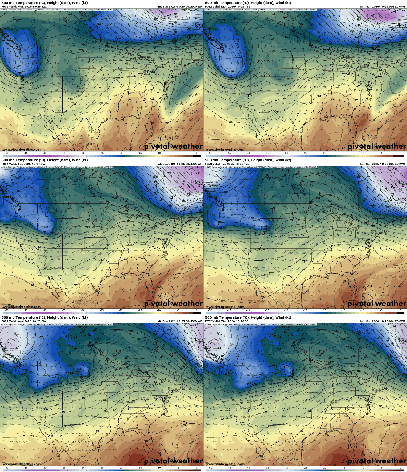
The same upper low that finally broke down the warm pattern of last week, combined with the stalled cool front to the south is delivering clouds and some rain today.
Look for scattered rain showers Monday into Monday night and early Tuesday. Showers will linger for northern Minnesota into midday Tuesday. Southwest Minnesota could see up to 1 inch of rainfall with lesser amounts north and east. It’s possible portions of northern Minnesota could see snow flakes overnight mixing in with showers.
Highs Monday will be the coolest of the month, mostly in the 40s, which is actually just a few degrees cooler than normal in this very warm October. We’re likely to finish October as the second warmest on record in the Twin Cities out of 153 years.

Warmer air already moves in Tuesday with decreasing clouds. We should see at least a little afternoon sunshine. Highs will be in the 60s across southern Minnesota.

The milder air is sticking around for the duration of these final October days. Afternoon highs through at least Halloween Saturday will be in the 60s across southern Minnesota, nearly 10 to 15 degrees above normal.
We have some additional rain chances developing late Wednesday into early Thursday and potentially over this weekend.
Turn Up Your Support
MPR News helps you turn down the noise and build shared understanding. Turn up your support for this public resource and keep trusted journalism accessible to all.

