
Lingering showers depart Tuesday, warmer already again
Mild with additional shower chances for October’s final days

Go Deeper.
Create an account or log in to save stories.
Like this?
Thanks for liking this story! We have added it to a list of your favorite stories.


Lingering shower activity will diminish Tuesday morning with temperatures already warming back up into the 60s south. October’s final days will be mild with additional rain chances.
Lingering showers depart Tuesday, warmer already again
We have some lingering showers Tuesday morning that will be lifting north. Northeast Minnesota will likely continue to see scattered showers into the afternoon. We could see some afternoon sun break out, especially in southwest Minnesota.
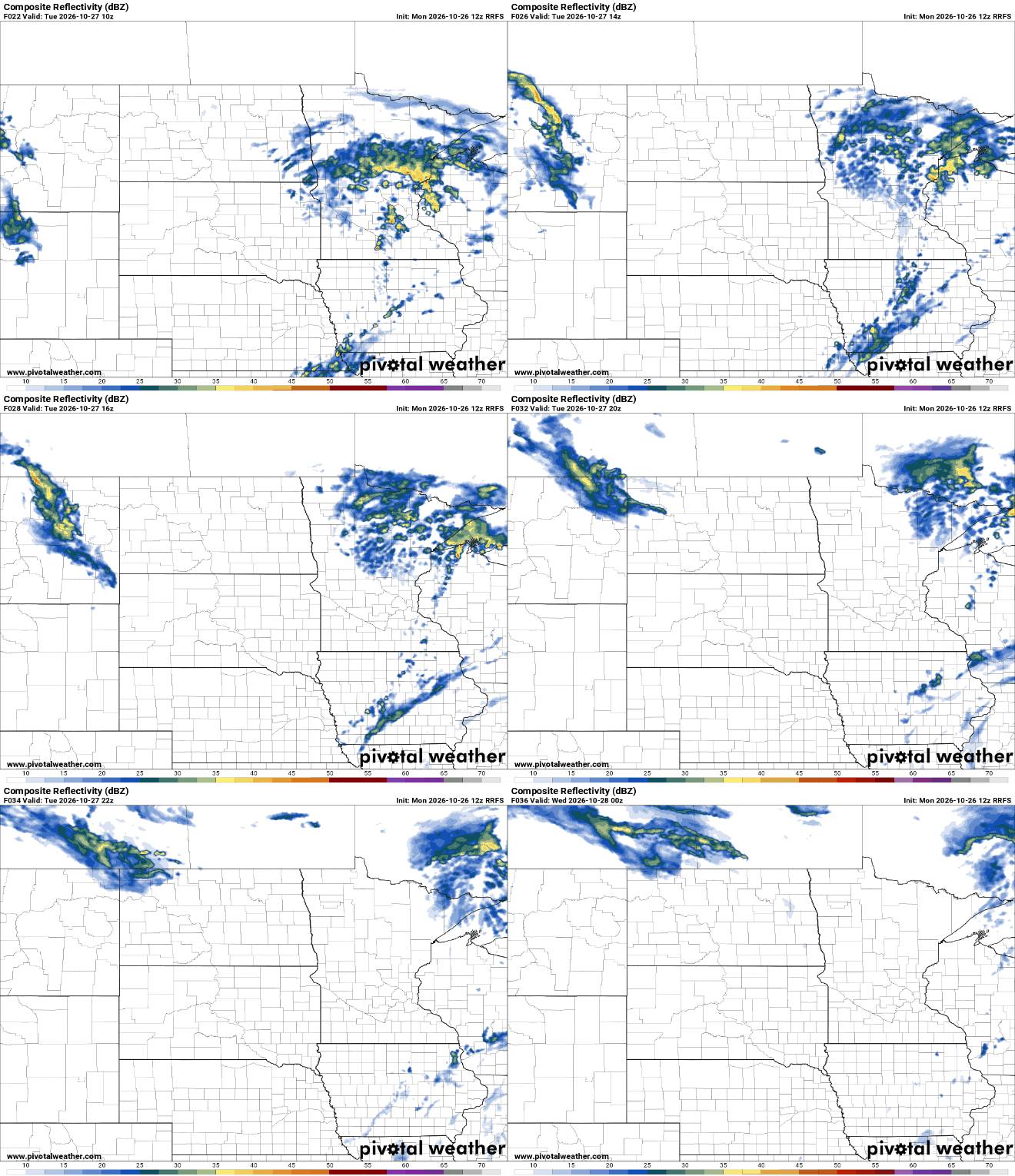
Afternoon highs will be back above normal, in the 60s for southern Minnesota with 40s and 50s north primarily. Those readings are back 10 to 15 degrees above normal in southern Minnesota.

Wednesday will be even warmer. Low 70s could pop into southern Minnesota in the afternoon hours. Clouds will be back on the increase again after a little sunshine to start the day.

The next upper level disturbance will touch off the next round of scattered showers and, possibly, even a few thunderstorms late Wednesday afternoon and evening into Wednesday night.
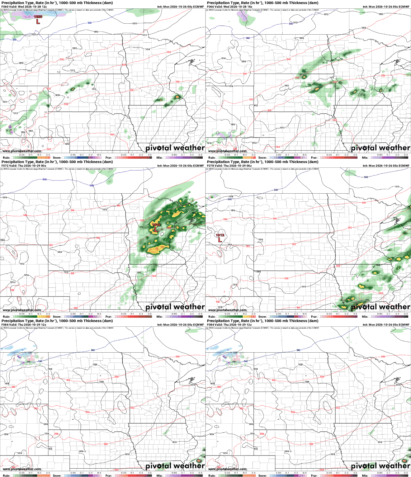
The remainder of the week is mild. Southern Minnesota will continue to see highs of 60-degrees or warmer right through the weekend with 50s and 40s mainly north.
We could also see another chance of showers over the weekend but forecast models are murky on that front yet.
Turn Up Your Support
MPR News helps you turn down the noise and build shared understanding. Turn up your support for this public resource and keep trusted journalism accessible to all.

