
Severe storms brought soaking rainfall with more rain in the forecast
A swath of 1 inch plus rain fell on Wednesday
Go Deeper.
Create an account or log in to save stories.
Like this?
Thanks for liking this story! We have added it to a list of your favorite stories.


Central Minnesota saw showers and thunderstorms Wednesday as a cold front swept across the region before cooler, drier weather settled in behind the system. The front has since moved east of Minnesota, allowing high pressure to build into the Upper Midwest.
Thursday and Friday will be sunny but cooler than Wednesday, with highs ranging from the upper 40s to mid-50s. Temperatures will still remain above normal for late October.
Beneficial rain showers Wednesday
Wednesday’s rain showers brought some much-needed and beneficial rainfall across the region, providing a welcome boost to soil moisture after periods of drier conditions.

Rainfall totals varied across the area, with many locations receiving around one-half inch to more than 1 inch in central Minnesota, near the St. Cloud area.
Turn Up Your Support
MPR News helps you turn down the noise and build shared understanding. Turn up your support for this public resource and keep trusted journalism accessible to all.

More rain chances ahead
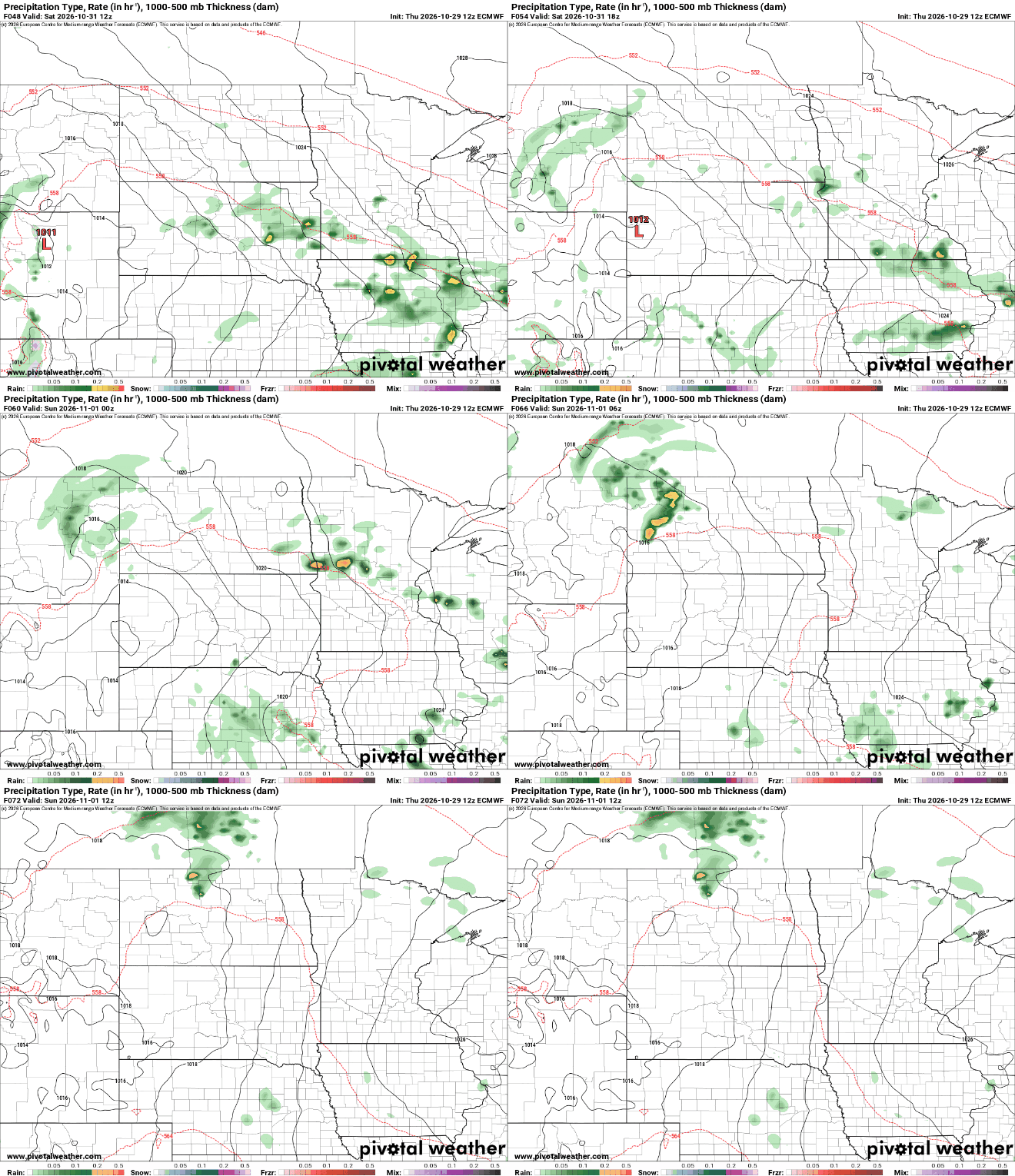
Dry weather is expected to hold through Friday night, but rain chances will return Saturday as another weather system approaches the region.
Scattered to numerous showers are possible, mainly across southern Minnesota, although rain could extend as far north as Alexandria and the Brainerd Lakes area.
The next more widespread round of rainfall is expected Monday into Tuesday. Forecast models suggest that a developing Upper Midwest storm system will track south of Minnesota and spread a broad area of rain showers northward across the state.
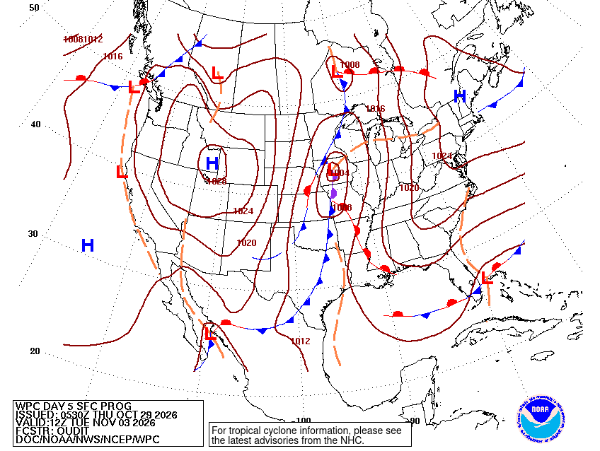
That setup could bring a longer-lasting, soaking rain to Minnesota, with abundant atmospheric moisture helping support widespread precipitation.
Temperatures stay mild for late October
Temperatures are expected to rebound heading into the weekend, with highs Sunday into Monday reaching the upper 50s to mid 60s in parts of the region.
Cooler conditions will return behind the early-week system, with highs settling back into the 50s by the middle of next week.

For now, the forecast calls for a brief break from the rain before unsettled weather returns over the weekend and another, potentially more persistent, round of rainfall arrives early next week.

