
Mild Sunday before soaking rain moves into Minnesota this week
Go Deeper.
Create an account or log in to save stories.
Like this?
Thanks for liking this story! We have added it to a list of your favorite stories.


Welcome to November — which may feel more like late September. Enjoy the mild weather today, because a widespread, soaking rain system is on the way, bringing 1 to 2 inches of rain to much of the state.
A mostly pleasant Sunday
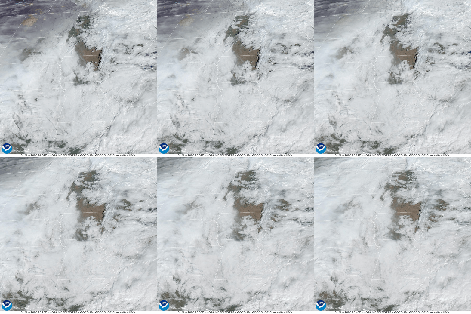
It’s been a mild but foggy, somewhat wet start to the morning so far. That fog will eventually dissipate this morning, leading to a mostly cloudy but unusually mild Sunday, with highs in the 60s and possibly lower 70s in southern and eastern Minnesota.
We’ll have one day — today — with mild, pleasant weather before an area of low pressure currently developing in the southwestern U.S. moves into our region, bringing widespread, soaking rain.

Rain arrives Monday and continues through Tuesday
The rain should begin early Monday morning for most areas, just around the time folks are heading to work or kids are heading to school. It will continue steadily throughout the day on Monday and into Tuesday before it begins tapering on Wednesday.
Turn Up Your Support
MPR News helps you turn down the noise and build shared understanding. Turn up your support for this public resource and keep trusted journalism accessible to all.
We’re expecting rainfall amounts of 1 to 2 inches for much of the state over a period from Monday through Wednesday. Some areas across west central Minnesota could see closer to 3 inches.
Mild temperatures to start the week, then cooler
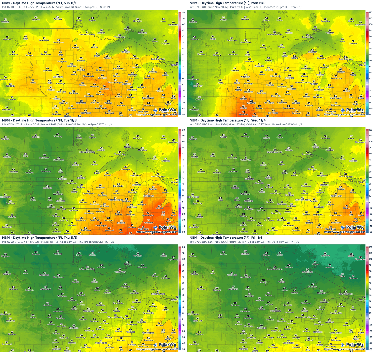
We’ll see temperatures remaining above average for this time of year for the first half of the week, with highs in the 60s statewide this afternoon and mid-50s to low-to-mid-60s tomorrow. That’s still 10-15 degrees above normal.
Then, the cold front associated with that system will cool things down to more seasonable levels starting on Wednesday, though we’re still looking at temperatures about 5 degrees above normal as we move through the second half of the week.
A look back at the Halloween Blizzard
It was 35 years ago today that the Halloween Blizzard of 1991 pummeled Minnesota with heavy snow and strong winds — blizzard conditions — that blanketed the state with 1 to 3 feet of snow.
Early on Nov. 1, 1991, the Twin Cities had recorded 21 inches of snow so far, setting a new record for the greatest snowfall ever recorded in a 24 hour period in the Twin Cities. And that record still stands today.


