Periods of rain continue into Thursday
Cooler, but seasonable end to the week

Go Deeper.
Create an account or log in to save stories.
Like this?
Thanks for liking this story! We have added it to a list of your favorite stories.


Scattered rain showers will continue Tuesday into Wednesday and Thursday. Cooler, but seasonable air works its way in by the end of the week.
Periods of rain continue into Thursday
The first round of rain so far has really added up in northeast Minnesota. Grand Rapids received 3.19 inches, Chisholm had 3.05 inches as of early Tuesday. The Twin Cities and southern Minnesota had less. The Minneapolis-St. Paul International Airport received 0.59 inches from early Monday through early Tuesday morning.

Clouds and occasional scattered rain showers will persist Tuesday into Wednesday and even Thursday. The rain will be steadier at times in portions of norther and western Minnesota.
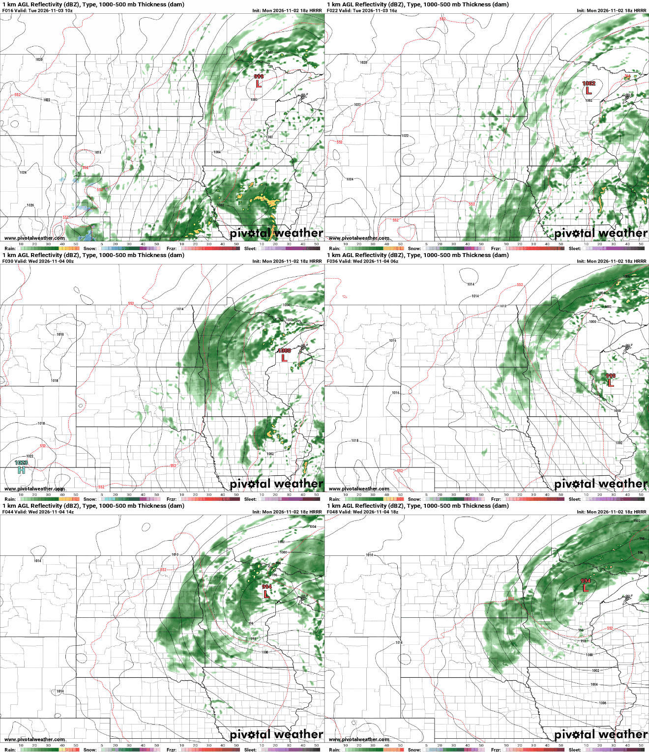
Additional rainfall of up to a half to 2 inches is possible, especially in northern Minnesota. Add that to the 1 to 3 inches some in northern Minnesota have already seen. There could be some 5 inch rainfall totals by Thursday in portions of northeast Minnesota.
Turn Up Your Support
MPR News helps you turn down the noise and build shared understanding. Turn up your support for this public resource and keep trusted journalism accessible to all.
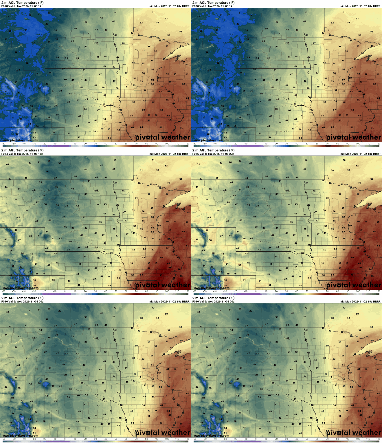
Temperatures will be mild Tuesday, in the upper 50s to near 60 degrees in the Twin Cities and southeast Minnesota, before slowly falling as cooler air works in from the west. We had a high at midnight Monday night of 66-degrees and the dew point reached 63-degrees in the Twin Cities.
Friday looks to be our coolest day with highs in the 40s statewide — close to normal. We should also see a dry day with some sunshine.

We’ll see a colder night Friday night. Lows will fall into the 30s and 20s, but we will see frost at the Minneapolis-St. Paul International Airport yet? If we don’t dip to 32 degrees there by Saturday, this will be our second latest frost. Nov. 18, 2016, is the latest on record.

We should see some sunshine break out for Friday into the weekend. Temperatures will remain mostly above normal this weekend into early next week. Normal highs by early next week