Showers continue on and off through Thursday morning
Winds will increase later Wednesday into Thursday
Go Deeper.
Create an account or log in to save stories.
Like this?
Thanks for liking this story! We have added it to a list of your favorite stories.


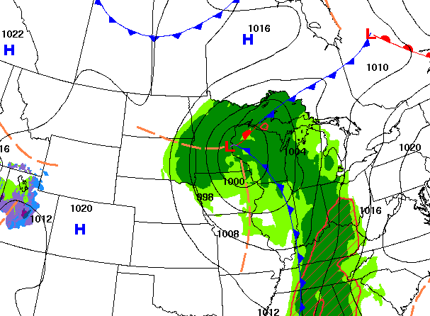
Scattered rain showers will continue to rotate around a low center that’s nearly parked over the Twin Cities Wednesday. Rain finally departs Thursday followed by briefly cooler temperatures.
Showers continue on and off through Thursday morning
We’re on day three of our storm system keeping clouds and showers across the region. The low center is right near the Twin Cities and will very slowly move east Wednesday. Scattered bands of rain showers will rotate counter-clockwise around the low. Showers should gradually depart Thursday morning.
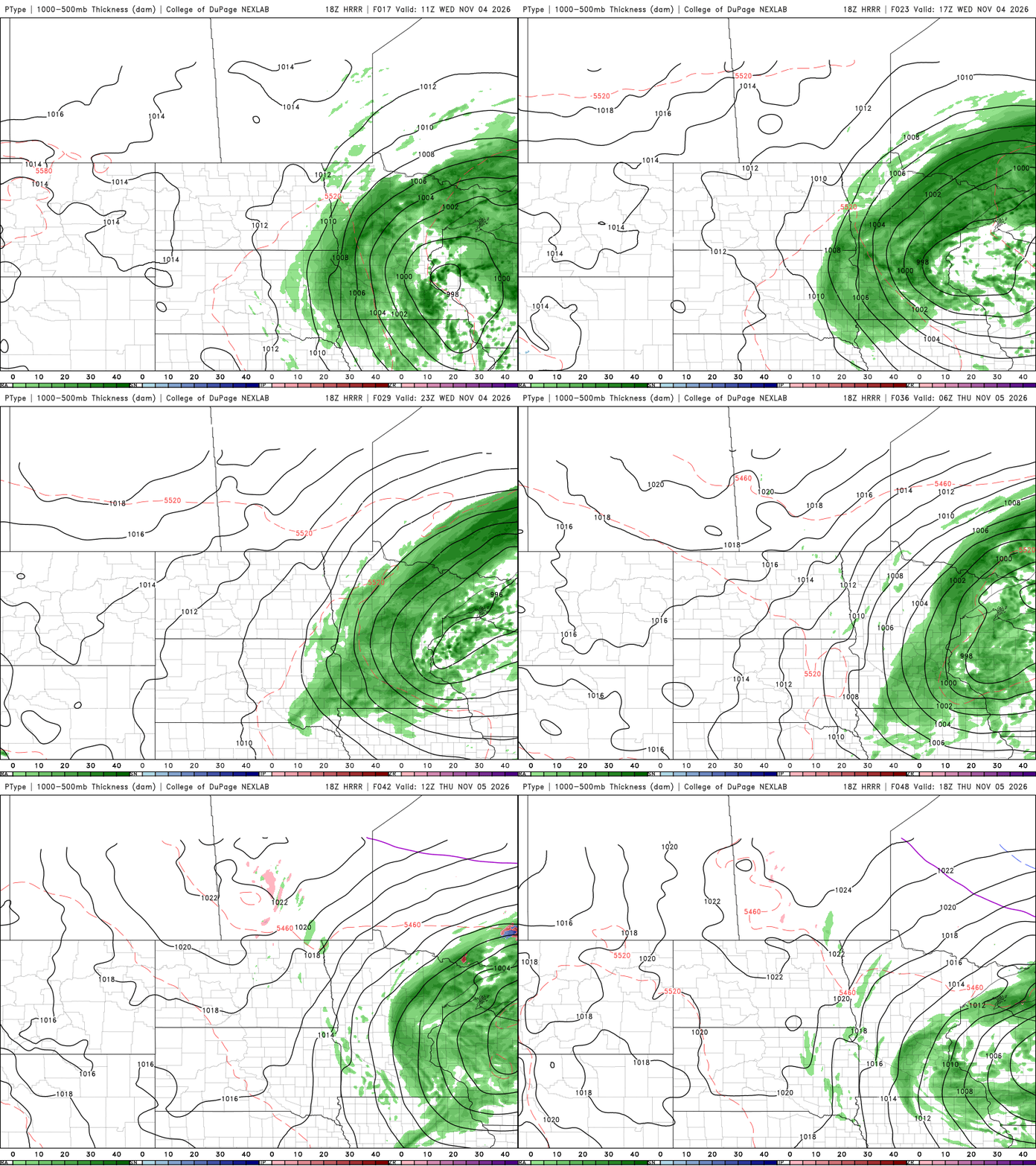
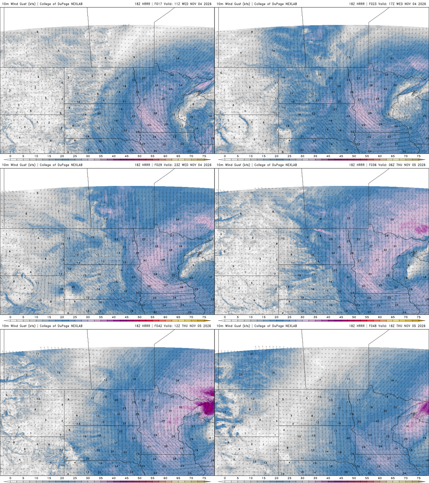
Winds will also be increasing and rotating around the low center. In the eye of the system, winds will be lighter but increase from the northwest at 15-25 mph in western and southern Minnesota and eventually for all of us Wednesday night into Thursday.
Temperatures will range from the warmer 50s east on the warm side of the low while western Minnesota will be in the 40s on the cooler backside.

High temperatures by Friday will be in the 40s statewide, but we should see some sunshine, too. While cooler, those reading are actually near normal finally for a day or two.

Temperatures warm back into the 50s already for the weekend into much of next week, back into above-normal territory.
Turn Up Your Support
MPR News helps you turn down the noise and build shared understanding. Turn up your support for this public resource and keep trusted journalism accessible to all.