Showers end, then briefly cooler; sunny weekend ahead
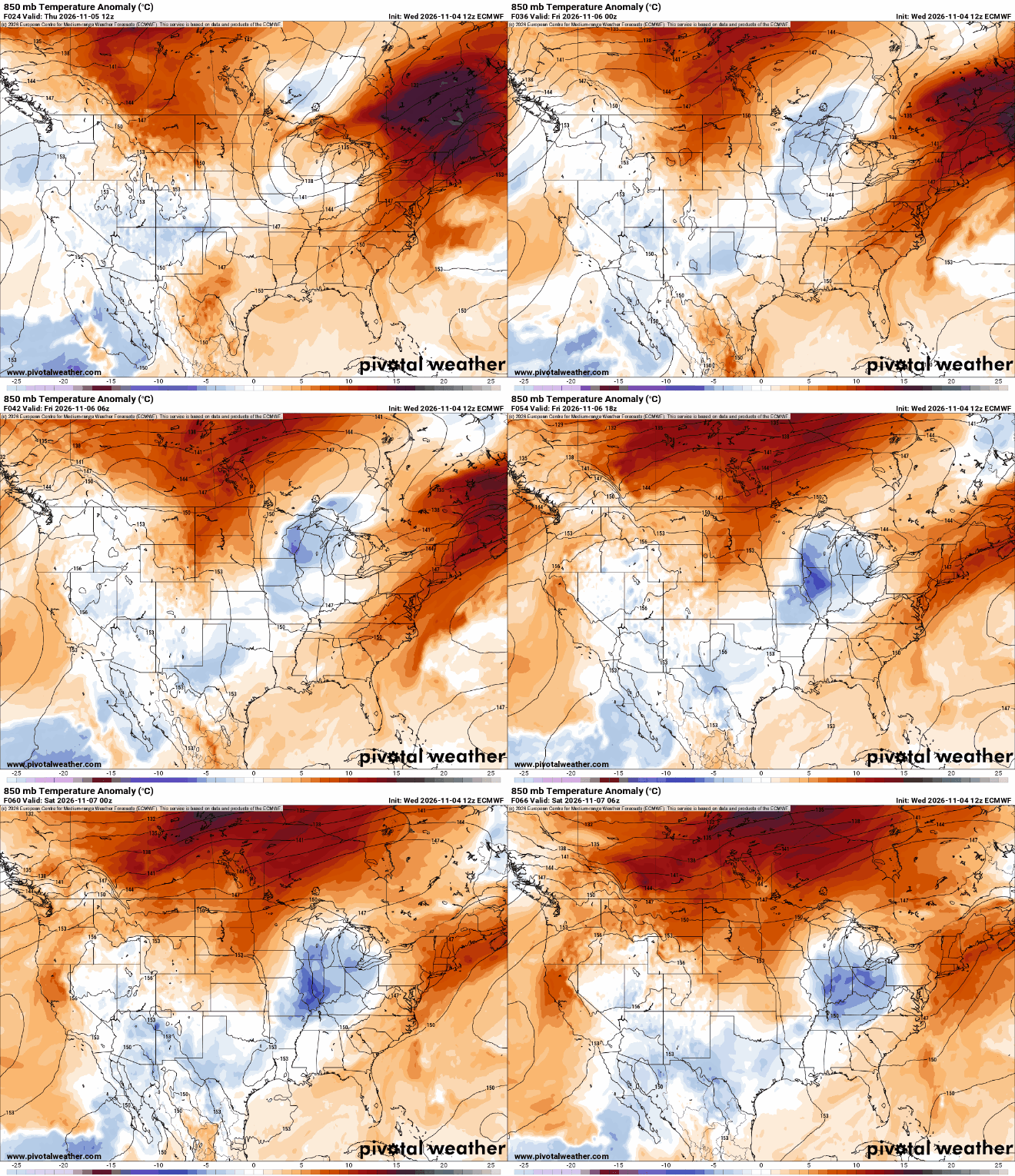
Temperatures back above normal into next week
Go Deeper.
Create an account or log in to save stories.
Like this?
Thanks for liking this story! We have added it to a list of your favorite stories.


We could see some peeks of sun Thursday as rain showers finally end. Thursday and Friday will be cooler, then temperatures warm again. More sun is likely Friday into the weekend.
Showers end, a brief blast of cool air follows
The rain is finally done for most of Minnesota after a few wet and dreary days. The totals are substantial. Much of northeastern Minnesota saw 4 to 5 inches or more since Monday, including 5.46 inches in Grand Rapids, 5.03 inches in Iron Junction and 4 inches in Duluth.
Southern Minnesota generally saw less, including 1.9 inches in the Twin Cities. That’s still more than a November’s worth of precipitation for the area.

There are a few sprinkles left in northern Minnesota where they’re even mixing with a few wet snow flakes for some. We’ll see seasonable temperatures, mostly in the 40s Thursday, along with a northwest wind at 10 to 20 mph.
Turn Up Your Support
MPR News helps you turn down the noise and build shared understanding. Turn up your support for this public resource and keep trusted journalism accessible to all.
While we could see a few peeks of sun, it’ll be mostly cloudy in southern Minnesota. Northern Minnesota should see the sun break out later Thursday afternoon as drier air moves in.

It’ll be a chilly overnight with lows in the teens, 20s and 30s across the state as breaks develop in the cloud deck.

Sunshine Friday into the weekend
More abundant sunshine returns for Friday and the weekend after a dreary stretch of clouds and showers much of this week.
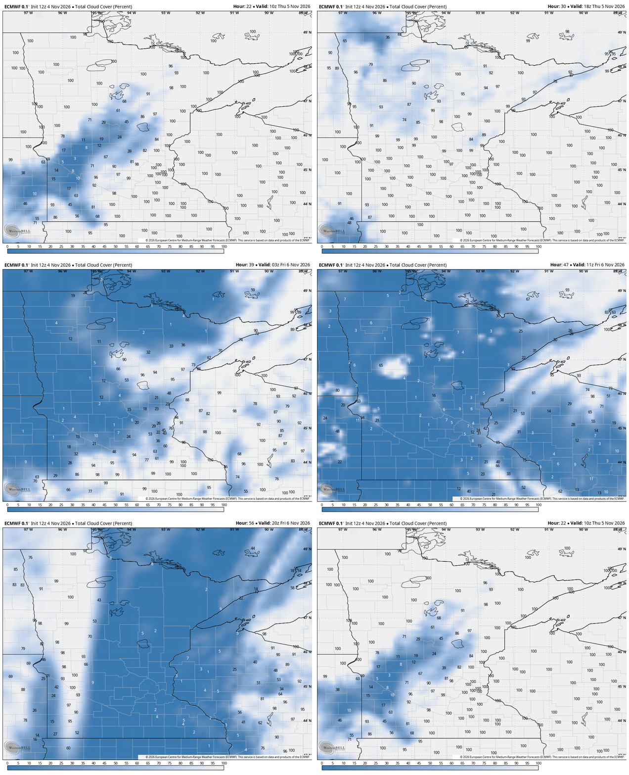
Highs again will be mostly in the 40s Friday, statewide. That, combined with mainly clear skies will lead to a cold overnight again Friday night.
Lows could dip to near-freezing in the Twin Cities for the first time this season. If we reach 32 degrees early Friday, it will be our third latest frost. If it happens Saturday, it would tie for second latest. Nov. 18, 2016 is the latest date.

Temperatures warm this weekend to above-normal territory, at least slightly. We’ll also see more sunshine both days.
Next week, temperatures warm even more with highs in the 50s, potentially even low 60s a couple days in southern Minnesota.