Pleasant weather continues through the weekend

Go Deeper.
Create an account or log in to save stories.
Like this?
Thanks for liking this story! We have added it to a list of your favorite stories.


More pleasant weather ahead as the weekend continues
We’ve enjoyed a pleasant start to the weekend during the day on Saturday, with lots of sunshine and mild temperatures across the state—good news for deer hunters, antique hunters and general outdoor lovers alike!
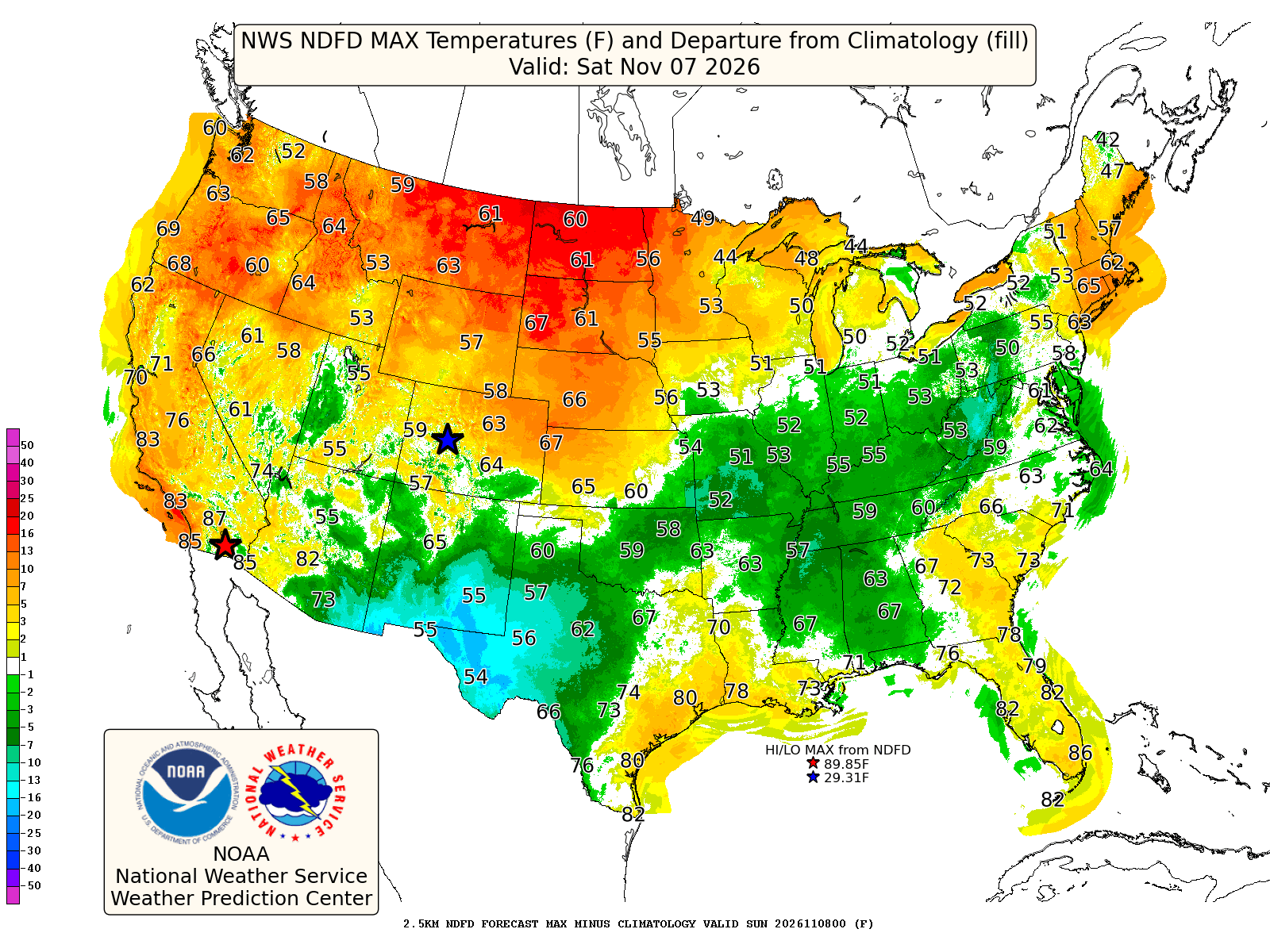
With mostly clear skies and southwesterly winds prevailing across much of the state, we’ve seen many locations in the 50s so far on Saturday, with some 60-degree readings occurring or expected in southern Minnesota.
We will see an increase in clouds this evening and into the overnight hours, along with a shift in wind direction from southwest to more west overnight, then northwest on Sunday. This is all due to a cold front that will be passing over the state tonight, but that’s about all it will bring in terms of changes to our weather.
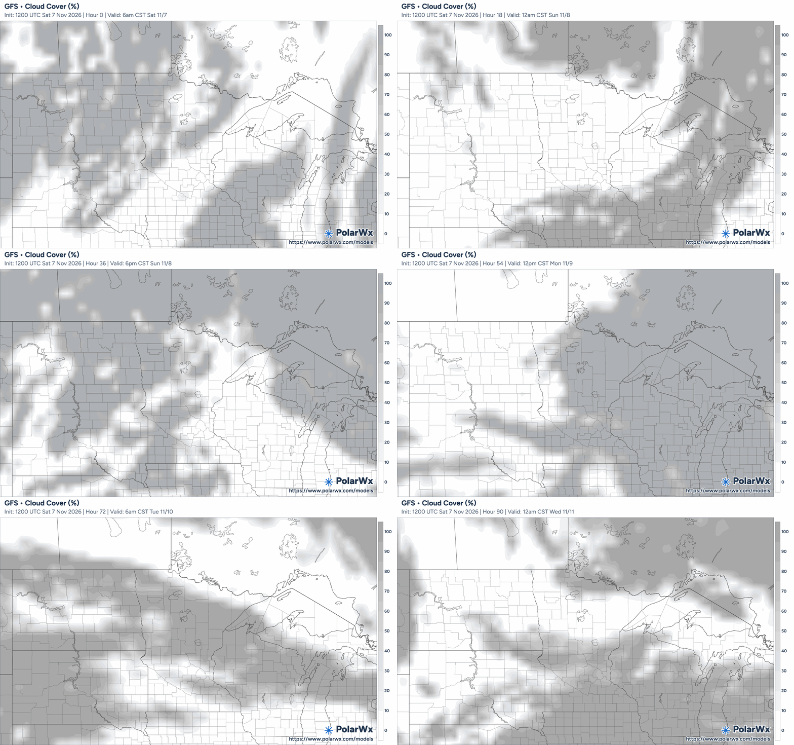
This extended break from active weather will continue Sunday and into the early part of next week, with Monday looking especially mild, especially across southern and western Minnesota, with highs reaching the lower 60s.

Cooler weather returns midweek
Cooler air will begin spreading across the state on Wednesday, with highs generally in the 40s and lower 50s. Most areas remain dry, although a weak disturbance could produce isolated showers in parts of southern Minnesota.
No widespread rain or accumulating snow is forecast in the near-term forecast. The next more substantial precipitation opportunity at this point does not look to arrive until around November 18–20, leading to 10-12 days of what the National Weather Service Twin Cities office is referring to as “boring weather.”
Turn Up Your Support
MPR News helps you turn down the noise and build shared understanding. Turn up your support for this public resource and keep trusted journalism accessible to all.