Another mild November day
Go Deeper.
Create an account or log in to save stories.
Like this?
Thanks for liking this story! We have added it to a list of your favorite stories.


Warm and dry conditions continue
Minnesota is enjoying an extended stretch of unusually mild and relatively quiet November weather, with another pleasant day expected across much of the state on Sunday. Temperatures will remain well above seasonal averages, while rain chances stay limited over the next several days.
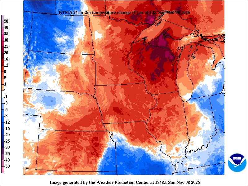
Morning temperatures started out considerably warmer than they were at this time Saturday. Despite the warmer start, afternoon temperatures are expected to be close to Monday's highs. Minneapolis is forecast to reach 54 degrees after hitting 56 yesterday. Rochester should also top out near 54, about three degrees warmer than Monday, while Duluth is expected to reach 48 degrees, compared to yesterday’s high of 46.
Aside from a slight chance of sprinkles this morning in the Arrowhead region, most of Minnesota will remain dry throughout the day Sunday. The most noticeable weather impact will be gusty northwest winds along the North Shore of Lake Superior.

The next weather system arrives Wednesday as an upper-level disturbance and associated cold front move across the state. Expect increasing clouds, a modest cooldown and a chance of light rain showers. Rainfall amounts are expected to be minimal, generally around a tenth of an inch or less, with many communities potentially remaining dry.
Turn Up Your Support
MPR News helps you turn down the noise and build shared understanding. Turn up your support for this public resource and keep trusted journalism accessible to all.
Temperatures will move closer to seasonal averages during the middle of the week before another warming trend develops heading into next weekend.
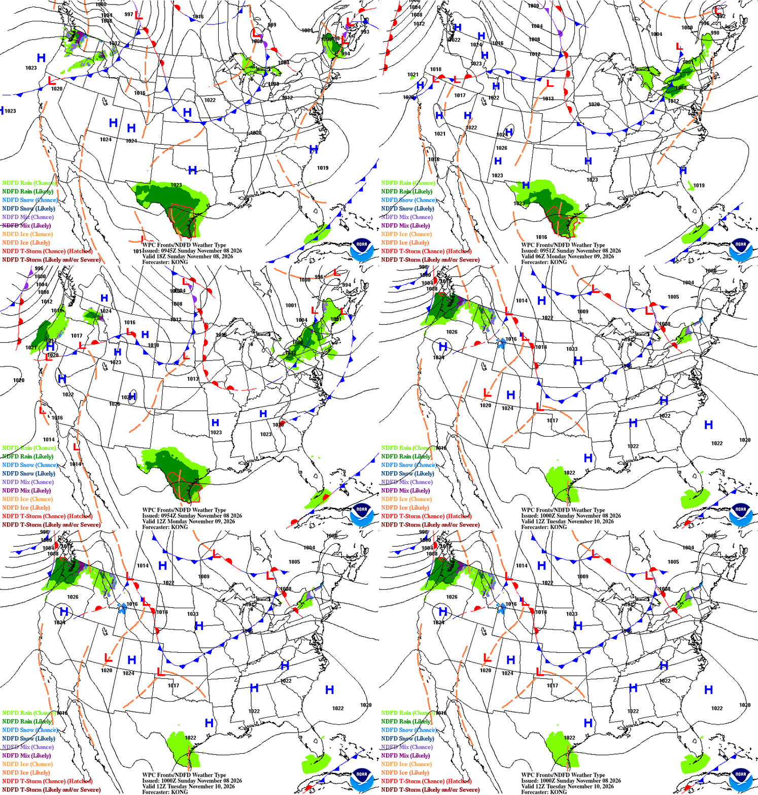
Beyond Wednesday, the next opportunity for more meaningful precipitation may arrive between Nov. 18 and 20. Until then, Minnesota appears headed for a relatively uneventful weather pattern, with occasional weak cold fronts bringing changes in cloud cover and wind direction but little in the way of significant precipitation or temperature swings.
Still a rainfall deficit
The Twin Cities in particular remain about 5.5 inches below normal in accumulated rainfall. While that deficit is significant, there is still time for additional precipitation to help make up the difference before winter settles in.

For now, enjoy the sunshine and mild temperatures. November is delivering an unusually comfortable stretch of weather, and there are no major changes on the immediate horizon.
Anniversary of first official storm warning
On Nov. 8, 1870, the first official storm warning was issued by the newly formed federal weather service, part of the U.S. Army Signal Service. The bulletin, directed at observers across the Great Lakes, warned of “high winds probable along the lakes.” Several schooners were reported lost or damaged across the Great Lakes that day.