Dry, above-normal conditions will be with us into midweek
Go Deeper.
Create an account or log in to save stories.
Like this?
Thanks for liking this story! We have added it to a list of your favorite stories.


The high temps we’ve been seeing are impressive, but not unprecedented
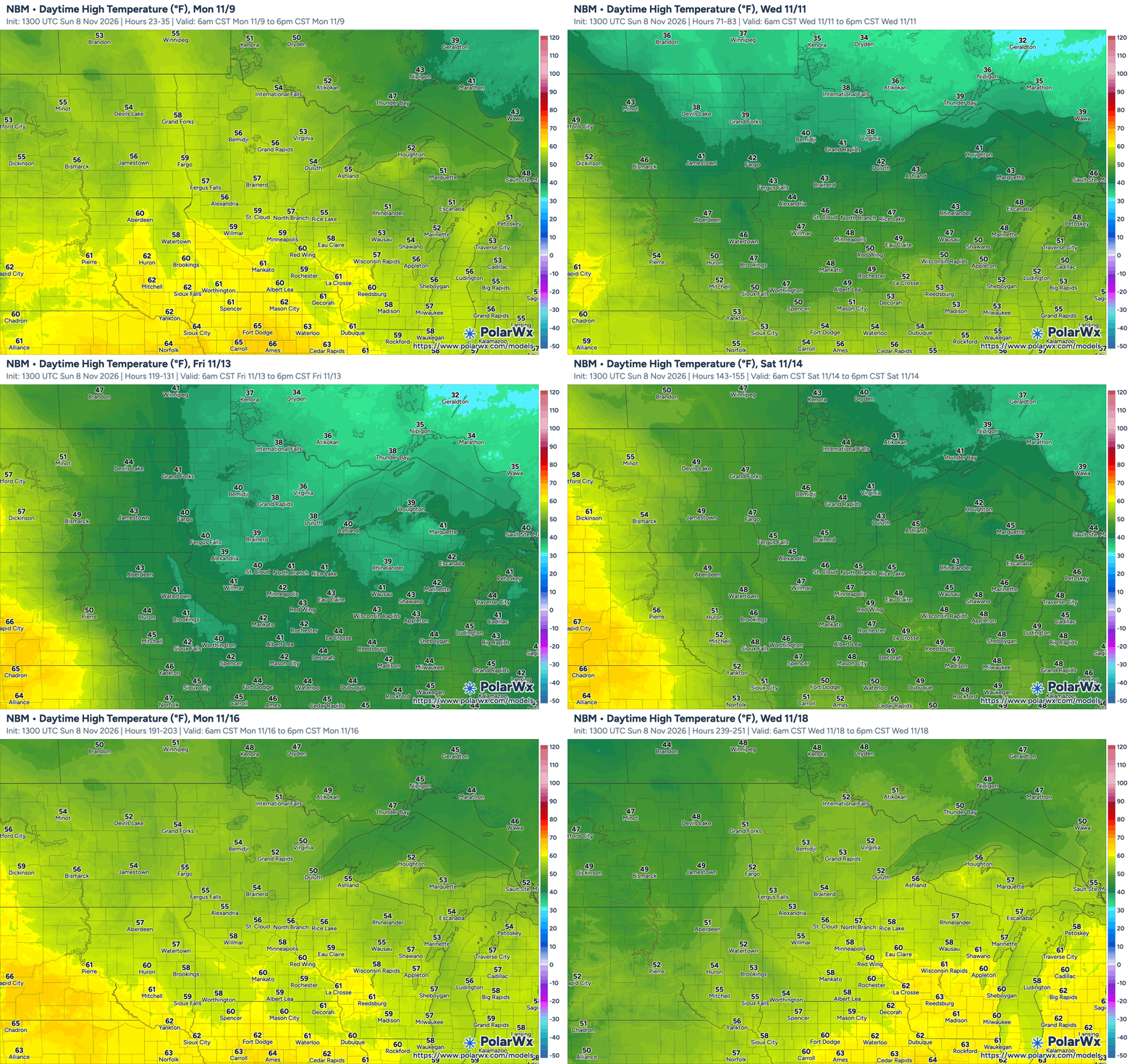
It’s been another mild, warmer-than-average day across Minnesota as we close out the first full weekend of November. Temperatures this afternoon have been ranging in the mid-to-upper 50s across much of the state—and we’ve even seen a 60-degree reading or two so far—with mid-40s to low-50s across northern Minnesota.
We didn’t quite make it to 60 officially in the Twin Cities on Sunday but if we had, it would have actually been average in terms of the last date of a 60-degree temperature in the Twin Cities if you average all such dates going back to 2000.

We’ll see one more day of unseasonably warm conditions—perhaps the warmest day of this stretch—on Monday before things start to return to more seasonable values by Wednesday. We can expect another warm up, however, by the end of the week, with temperatures once again climbing back into the 50s across much of the state next Sunday and even into the low 60s across southeastern Minnesota and southwestern Wisconsin next Tuesday, November 17.
There is a risk of frost conditions overnight across parts of northern Minnesota with a risk of a hard freeze for some areas as things cool down by the middle of the week.

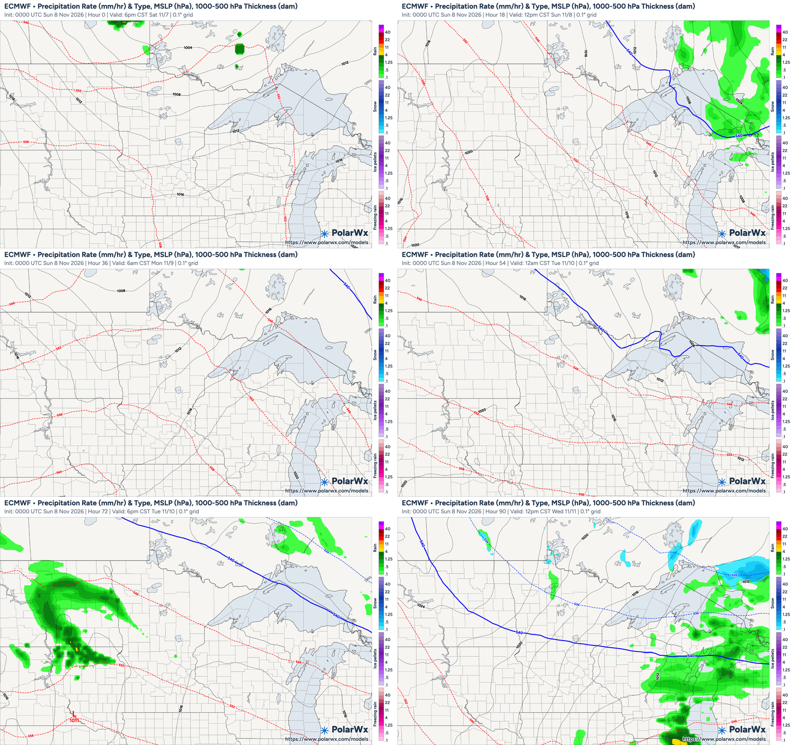
With that mid-week cool down this week comes a slight chance of showers early Wednesday—Veterans Day. Areas in far western Minnesota could see any rain that develops falling as early as late in the evening on Tuesday. Any rain from the weak system pushing through the region at that time will be miniscule—a few hundredths to a tenth of an inch at most. We’ll have to wait until the middle of next week before there’s any chance of significant precipitation across our area, but that’s so far out ahead of us at this point that the models are showing low confidence as far as what might develop.
So for now, enjoy the unusually warm November weather and look for it to return just in time for next weekend.
Turn Up Your Support
MPR News helps you turn down the noise and build shared understanding. Turn up your support for this public resource and keep trusted journalism accessible to all.