Warm start to the week with a shower chance Wednesday, then trending cooler
Another shot at 60 degrees for the Twin Cities
Go Deeper.
Create an account or log in to save stories.
Like this?
Thanks for liking this story! We have added it to a list of your favorite stories.


Enjoy Monday's November warmth! Temperatures will continue to run well above average statewide, with highs climbing into the 50s and low 60s.
A few light showers could sneak through Wednesday morning. Otherwise, a quiet and increasingly cooler stretch of weather is ahead.
Warm start to the week
If you’re enjoying the mild weather, there’s one more day like it in the forecast. Early November typically brings an average high temperature of around 45 degrees in the Twin Cities and upper 30s for the Northland. We’ll be running well above that mark to start the week.
Highs Monday will climb into the mid to upper 50s north and upper 50s to low 60s for areas south, making for a beautiful day by November standards.
Turn Up Your Support
MPR News helps you turn down the noise and build shared understanding. Turn up your support for this public resource and keep trusted journalism accessible to all.

A weak cold front will move through Monday, bringing some early cloud cover. However, sunshine will break through, and overall, quiet weather will prevail.

Cooler with rain chances
After the cold front moves through Monday night, it will bring slightly cooler temperatures back into the region. Tuesday’s temperatures will still be above-average in the upper 40s to upper 50s.
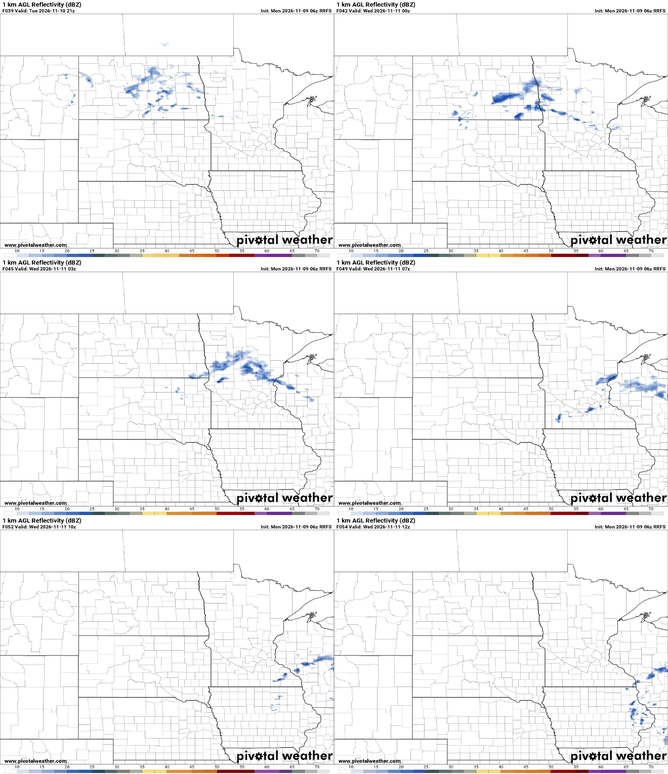
Our next opportunity for precipitation arrives late Tuesday night into early Wednesday morning. A few light showers will be possible, but moisture will be limited.
Most locations will likely remain dry, and any rainfall that does occur should be very light, generally just a few hundredths of an inch. Across the Iron Range and Arrowhead, a few snowflakes could mix in at times.
After that, high pressure takes control once again, keeping the forecast dry through the remainder of the week. Temperatures will trend cooler, especially overnight, with lows dropping below freezing Thursday and Friday mornings.
Looking ahead, the overall pattern remains fairly quiet through much of mid-November. Temperatures will trend seasonable, with another warmup expected heading into next weekend.
The next better opportunity for more active weather may develop toward the middle to end of next week.