One more mild day before cool Canadian air sends temperatures tumbling
Rain chances mainly north for Veterans Day

Go Deeper.
Create an account or log in to save stories.
Like this?
Thanks for liking this story! We have added it to a list of your favorite stories.


Tuesday will be another day well above average across the Upper Midwest as afternoon temperatures climb toward 60 degrees.
Changes are on the way, however. A couple of weather disturbances will move through the region, bringing a chance for light rain before much colder air settles in for the second half of the week.
Mild Tuesday, cooldown coming
Temperatures on Tuesday will easily top seasonal averages with many locations approaching the 50s and 60s. Clouds will gradually increase throughout the day ahead of our next weather system.

The first disturbance arrives Tuesday night, bringing a chance for light rain, mainly across northern and central Minnesota into western Wisconsin.
Turn Up Your Support
MPR News helps you turn down the noise and build shared understanding. Turn up your support for this public resource and keep trusted journalism accessible to all.
Areas along and north of Interstate 94 have the best chance of seeing a few showers. Rainfall amounts should remain light, generally around one-tenth of an inch or less.
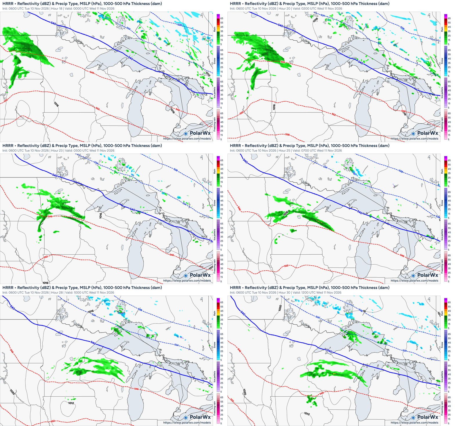
A second disturbance moves through on Wednesday, dragging a cold front across the Upper Midwest.
As colder air pours into the region, a few isolated rain or snow showers cannot be ruled out early Thursday morning. Northern Minnesota and the Iron Range have already seen their first snowflakes of the season, but areas farther south could finally see their first flakes fly!
Much colder weather takes over
The biggest change arrives Thursday as a much colder Canadian air mass settles across the region.
High temperatures Thursday through Sunday will struggle to climb out of the 20s, 30s and low 40s, with overnight lows dropping into the teens across northern Minnesota and the 20s farther south.
Despite the colder temperatures, the forecast looks quiet heading into the weekend. Canadian high pressure will remain in control, keeping skies relatively dry and precipitation chances very low.