Pleasant weekend weather, but changes coming next week
Go Deeper.
Create an account or log in to save stories.
Like this?
Thanks for liking this story! We have added it to a list of your favorite stories.


A sunny, seasonable start to the weekend
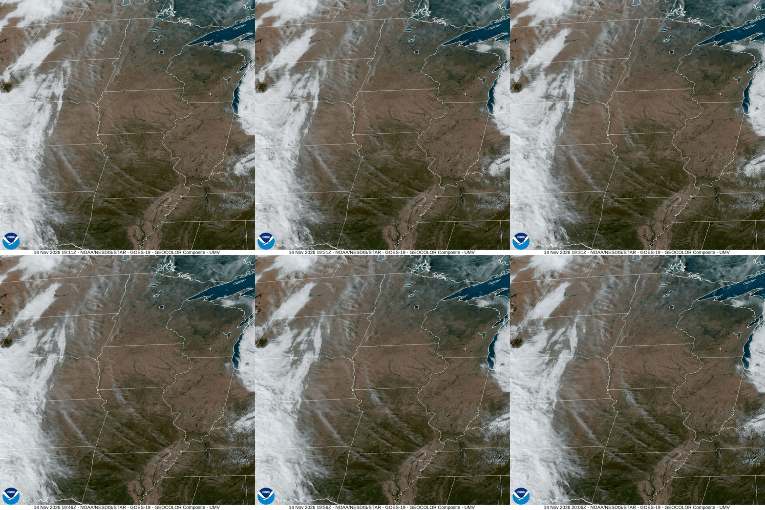
It’s been a beautiful fall Saturday across Minnesota. There is abundant sunshine, and temperatures have climbed into the 40s across the state. Some of the warm spots so far include Canby and Granite Falls, which reached 48 so far this afternoon, and Madison (Lac qui Parle County), which registered its highest temperature so far today at 47. Unsurprisingly, these locations are all in the southwestern part of the state.
After dropping back down into the 20s overnight statewide, we’ll see afternoon highs on Sunday a few degrees higher than today—generally in the mid-to-upper-40s across the state and possibly even 50 in Minneapolis. That warming trend will continue for a few days, with highs in the 50s across much of the state by midweek.

As temperatures increase, so will the wind. We can expect breezy conditions Sunday and Monday, with windy conditions possible on Tuesday, especially across western and southwestern Minnesota, where elevated fire-weather concerns are possible.
A tale of two weather systems
The big focus over the coming week weatherwise is a pair of low-pressure systems that could bring us rain later in the week. The first system will be a relatively fast-moving disturbance that could bring light rain Wednesday night into Thursday, though many locations may receive little or no precipitation.
Turn Up Your Support
MPR News helps you turn down the noise and build shared understanding. Turn up your support for this public resource and keep trusted journalism accessible to all.
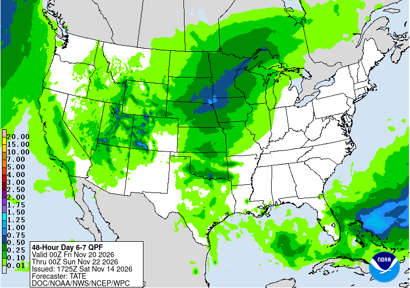
The second, more potent, system is forecast to affect our region Friday into Sunday of next week. Right now, there’s a possibility that this system could bring widespread rain—with some locally heavier amounts—and possibly isolated thunderstorms. Some snow could even develop on the back side of the system as it moves to the east, especially across the northern part of the state.
Ensemble forecasts provide confidence
One interesting way to compare the uncertainty surrounding these two systems is to look at ensemble forecasts. Ensemble forecast models are computer models run several times with slightly different inputs to look for consistencies in their predictions. The more consistent each model run is with the other “members” of the ensemble, the more confidence forecasters place in that particular scenario.
Compare the two graphics below—each showing the results of 25 different model runs of the AIFS ENS—Artificial Intelligence Forecasting System Ensemble—model run by the European Centre for Medium-Range Weather Forecasts (ECMWF). The first graphic shows forecast precipitation for Minnesota and the surrounding region for 6 a.m. CST next Thursday; the other graphic shows the same thing, except for early next Saturday morning (midnight CST). Notice that for the first system (Thursday) there does not appear to be as much agreement as far as where and how much rain will fall. In fact, some panels (each representing a different model run) show no rain falling at all across Minnesota at that time, while others show large portions of the state receiving precipitation.

Looking at the panels in the second graphic—the system forecast for next weekend—there appears to be much more agreement among the different model runs in terms of timing, location, and intensity of precipitation. This gives us greater confidence in how this second system may develop and affect our region than we have regarding the first system.

Of course, even with the benefits of ensemble forecasting—and the infusion of artificial intelligence in this particular model—it’s not a guarantee and some uncertainty remains. But it gives us a good idea of what will happen and tells us what we need to focus on in the days ahead.