Unseasonably warm and windy weather continues; rain chances return Friday
50s to 30s by the weekend
Go Deeper.
Create an account or log in to save stories.
Like this?
Thanks for liking this story! We have added it to a list of your favorite stories.


November continues to feel more like early fall than late fall across Minnesota, as above-normal temperatures stick around for much of this week.
High temperatures will generally climb into the 50s, with a few spots potentially reaching the lower 60s before a cooler pattern returns next week.
Unseasonably warm and windy
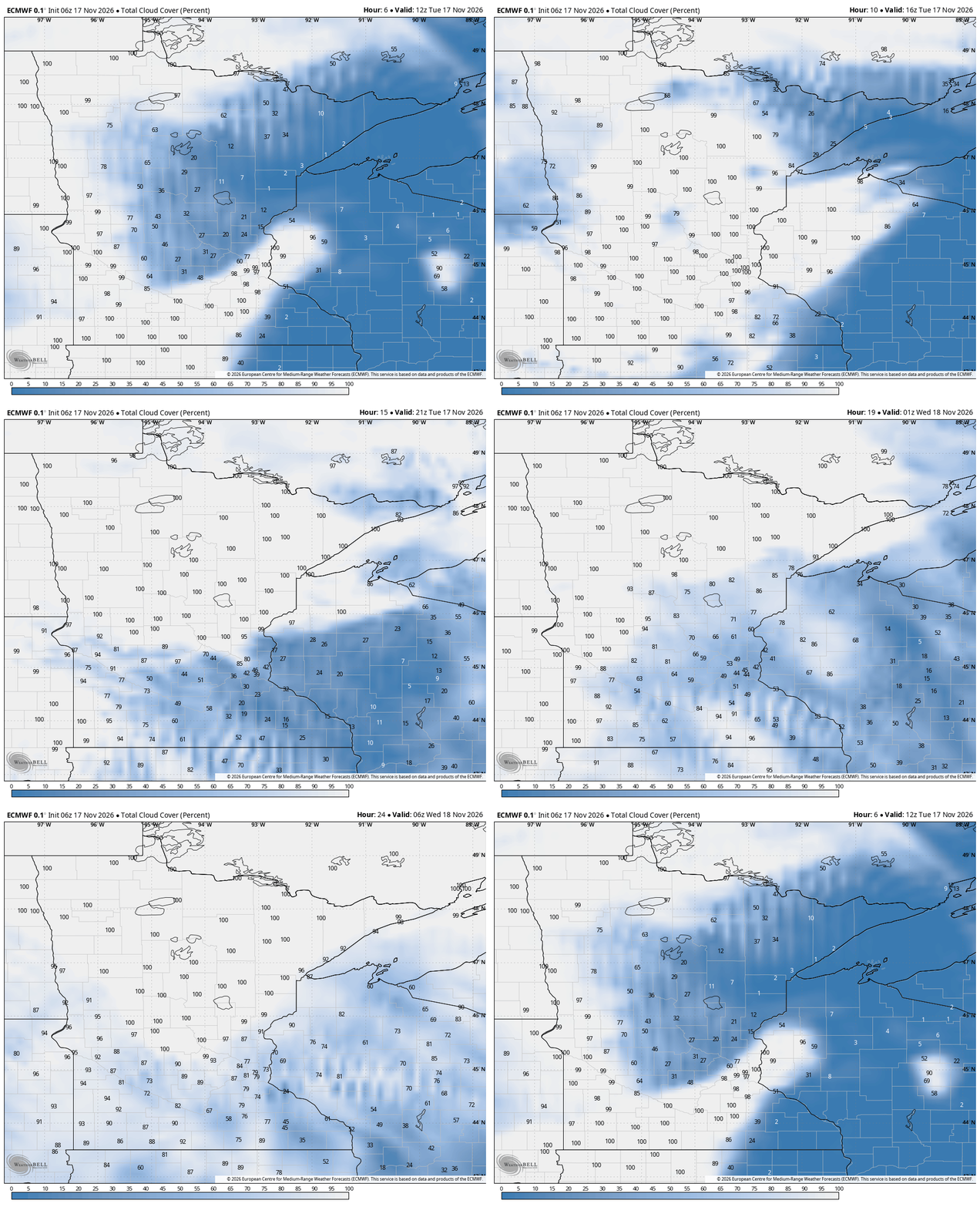
Our stretch of warm and windy weather continues. We'll also see plenty of clouds around Tuesday as low clouds move across the region.
Despite the cloud cover, temperatures will still reach the low to middle 50s. Southerly winds will also remain breezy with gusts of 25 to 30 mph possible, mainly across southern and southwestern Minnesota.
Turn Up Your Support
MPR News helps you turn down the noise and build shared understanding. Turn up your support for this public resource and keep trusted journalism accessible to all.

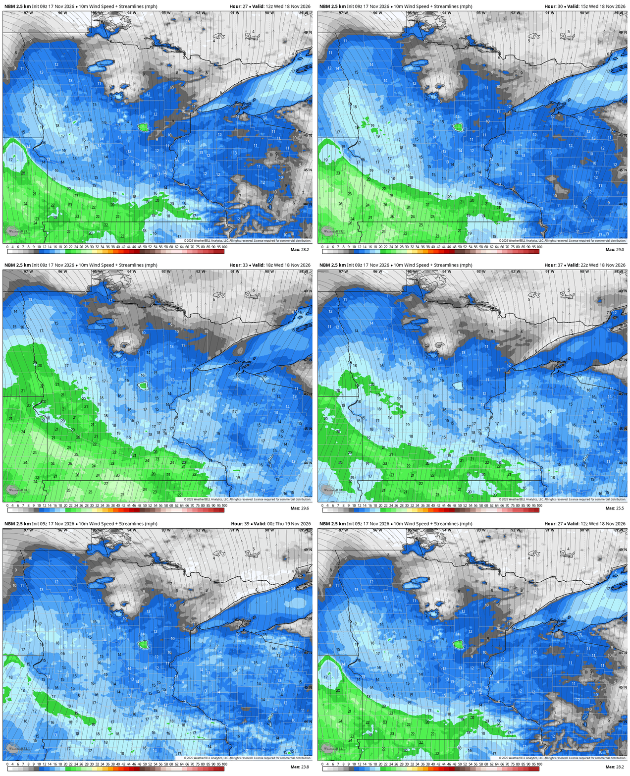
Winds will become even stronger on Wednesday as a storm system passes to our northwest. Expect sustained winds of 20 to 25 mph, with gusts of 30 to 35 mph. Some locations, especially along southwestern Minnesota’s Buffalo Ridge and across extreme southern Minnesota, could see gusts approaching 40 mph.
High temperatures on Wednesday could reach near 60 degrees in southern Minnesota — 20 degrees above our average high for mid-November.
A dry cold front will sweep through Wednesday night, dropping temperatures just slightly for Thursday with low to mid-40s north and low to mid-50s south.
Next system arrives late Friday into Saturday
Warmer temperatures will quickly return Friday ahead of our next weather system. Highs are expected to reach the mid to upper 50s across central and southern Minnesota, with lower 60s possible in south-central Minnesota.

Our next best chance for widespread rainfall arrives late Friday into Saturday as a storm system moves out of the Rockies and across the Central Plains. Rainfall amounts of at least one-quarter inch look possible in many areas.
While this system is not expected to bring the significant rainfall we experienced earlier in November, it will be a welcome opportunity for some much-needed moisture.

As the system moves away Saturday night into Sunday, much cooler air will move into the region. A few snowflakes could even mix in as the system wraps up, although the better chances for accumulating snow appear to remain well north of our area.