Cold front brings falling temperatures and rain showers
Temperatures return to seasonal norms after warm stretch

Go Deeper.
Create an account or log in to save stories.
Like this?
Thanks for liking this story! We have added it to a list of your favorite stories.


The biggest weather story for Saturday is a cold front sweeping across Minnesota, bringing a chance for a few showers and a noticeable change in temperatures for Sunday.
Strong cold front drops temps by 20 degrees
Looking at the current temperature map, you'd think these were afternoon high temperatures for September or October. Instead, these are our morning observations! Ahead of a strong cold front, temperatures are running 15-20 degrees above the average high for mid-November.

Communities behind the front will see temperatures holding steady in the upper 30s and 40s, with falling temperatures expected once the front moves through. Northwest winds of 10-20 mph will accompany the front, along with a few light rain showers.
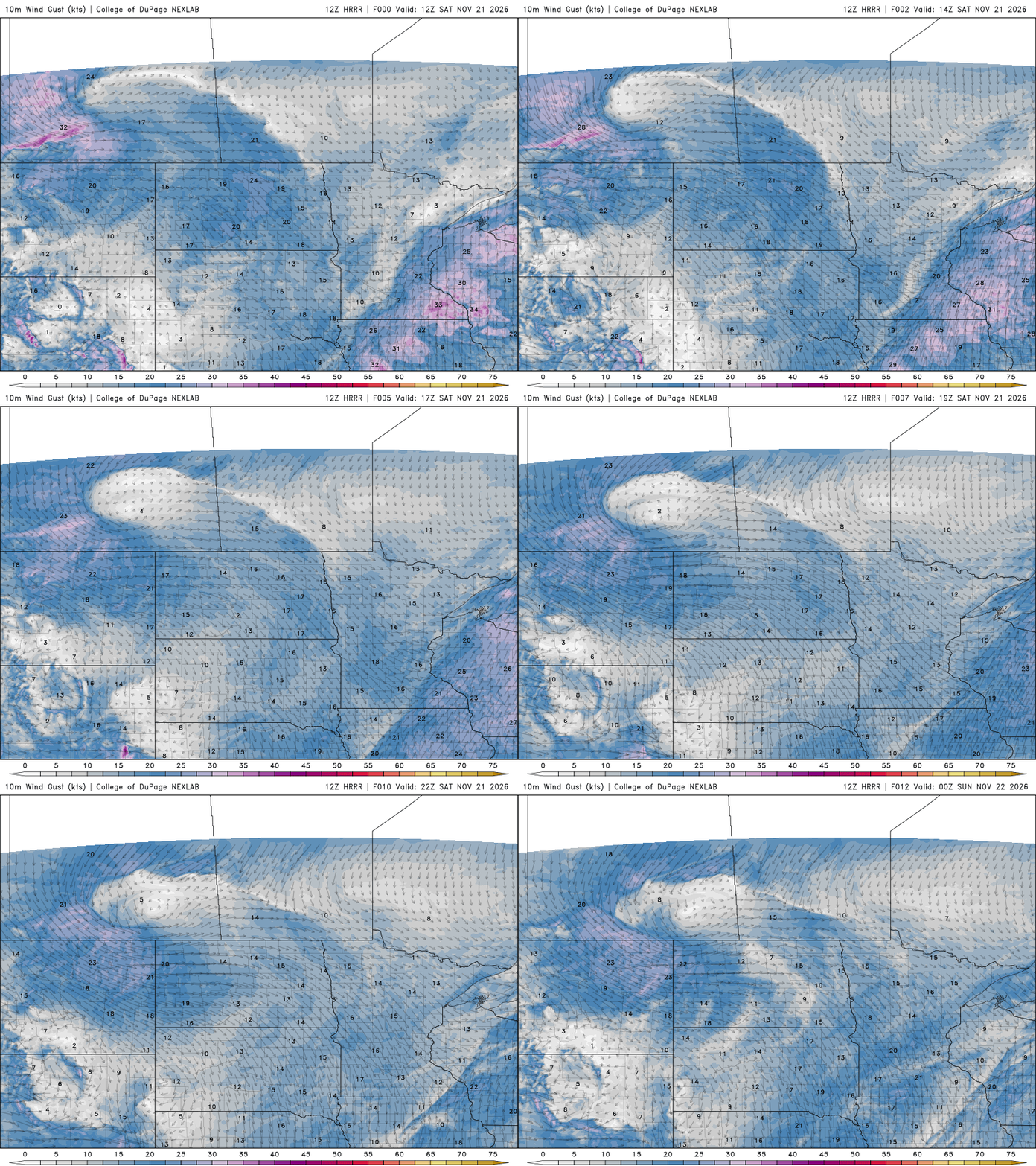
Showers will become more widespread across eastern Minnesota and western Wisconsin by late Saturday morning. Rainfall amounts will generally be on the lighter side, with areas along and west of Interstate 35 picking up around a tenth to a quarter of an inch. Western Wisconsin and southeastern Minnesota will have the better chance of seeing higher totals, potentially between a half an inch and an inch of rain.
Turn Up Your Support
MPR News helps you turn down the noise and build shared understanding. Turn up your support for this public resource and keep trusted journalism accessible to all.

Behind the front, cooler air will begin filtering into the region, setting the stage for a colder end to our weekend.
Our pre-Thanksgiving forecast shows Canadian high pressure settling across the Upper Midwest Monday and Tuesday, bringing our coldest air of the stretch. Temperatures will dip into the 20s and 30s, a noticeable shock after the recent stretch of 50s and 60s.
However, this colder air won't stick around for long. Temperatures are expected to rebound by the middle of next week, climbing back toward 40 degrees across much of the region. That should put us closer to, or even slightly above, seasonal averages heading into Thanksgiving.
There is a small chance for a few snowflakes early Wednesday as another weak disturbance moves through. However, there is plenty of dry air to overcome, which should limit precipitation chances. At this point, we're not anticipating any significant weather-related travel impacts for Thanksgiving.
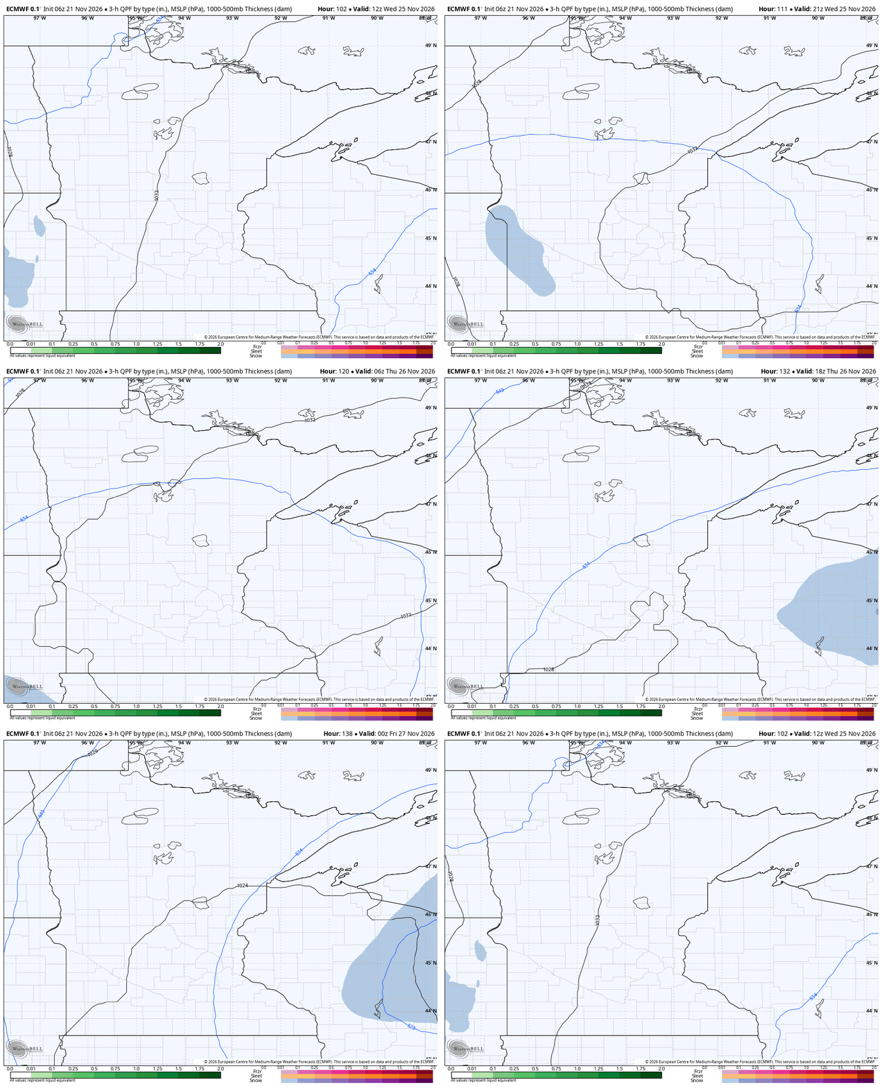
Looking beyond the holiday, another, potentially stronger weather system is expected to approach from the northwest Friday into next weekend. This system could bring a chance for a rain and snow mix, although there is still a lot of uncertainty in what this system will do.