November chill returns as temperatures take a tumble
Low temperatures in the teens expected Monday night

Go Deeper.
Create an account or log in to save stories.
Like this?
Thanks for liking this story! We have added it to a list of your favorite stories.


The cold front has now pushed east of the region, bringing an end to the widespread rain showers that moved through overnight and early Sunday morning. Behind the front, gusty northwest winds will usher in noticeably cooler air, setting the stage for a much colder start to the upcoming week.
Back to reality for temperatures; light snow north
Our stretch of well-above-average temperatures has officially come to an end, with a return to more seasonable mid-November conditions settling in across the region. High temperatures Sunday will range from the low to middle 30s across northern Minnesota, while areas across the southern half of the state will see highs in the upper 30s to near 40 degrees.

Some lingering light snow showers are possible across northern Minnesota today as the low pressure system that moved through Saturday continues tracking eastward. Any accumulations should remain minimal, generally under an inch, although localized amounts could exceed an inch near the tip of the Arrowhead.

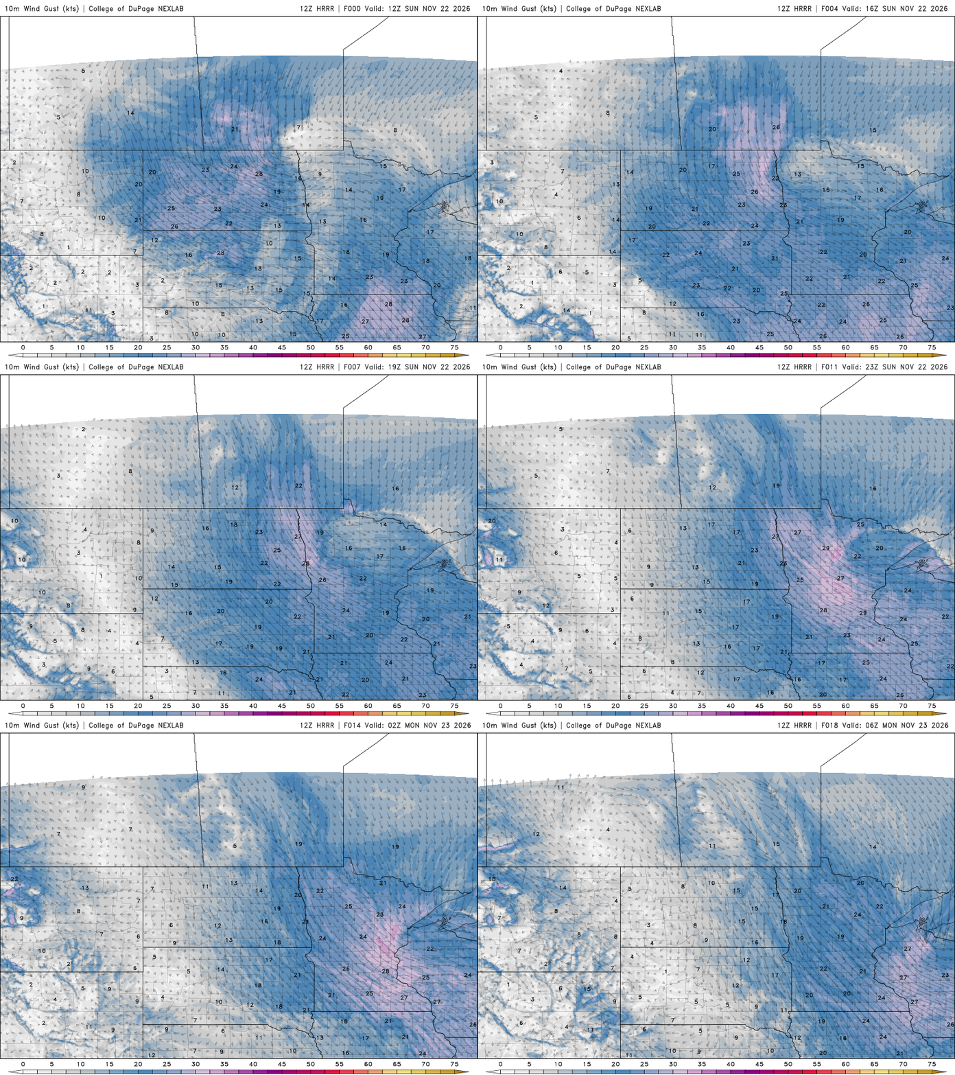
Northwest winds will remain breezy today, generally sustained between 12-25 mph, with occasional gusts exceeding 30 mph. After nearly a week of persistent breezy conditions, winds will finally begin to ease heading into the work week as Canadian high pressure builds into the region, bringing a much calmer weather pattern.
Turn Up Your Support
MPR News helps you turn down the noise and build shared understanding. Turn up your support for this public resource and keep trusted journalism accessible to all.
Mostly quiet for the holiday week
Once Sunday’s system moves away, precipitation chances become virtually dormant for a while. A rather large area of high pressure will become the dominant weather feature Monday and Tuesday.
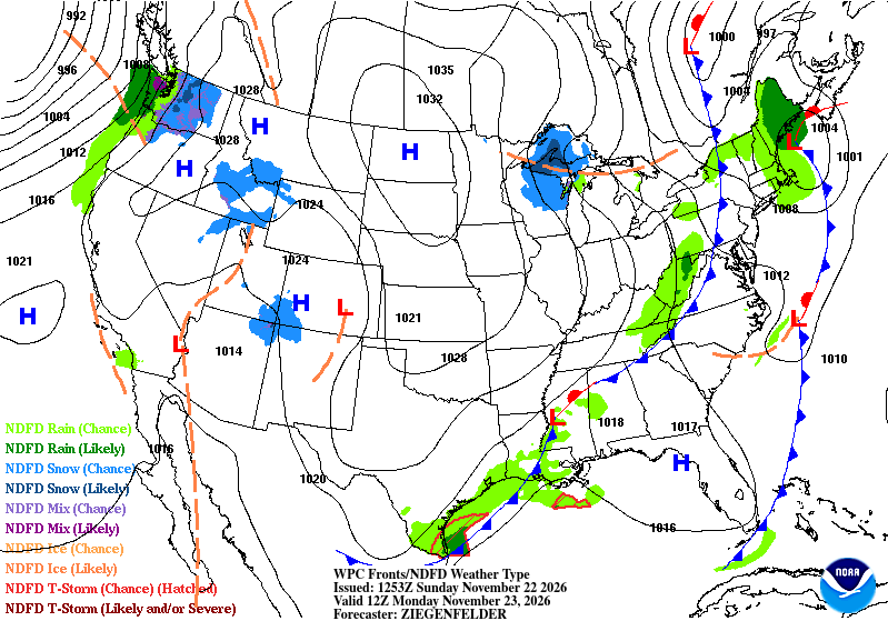
Temperatures will take a noticeable step down, with afternoon highs generally ranging from the mid 20s to mid 30s. Monday night looks to be the coldest period of the upcoming stretch, with widespread lows dipping into the middle teens. Temperatures this cold haven't been observed across the region since mid-March, making for our chilliest night in quite some time.

High pressure gradually shifts east Tuesday night, allowing another weak disturbance to approach the northern Plains. At this time, however, the system appears moisture-starved and is not expected to bring much in the way of precipitation to our area.
Overall, our Thanksgiving travel is looking good!