Huttner on weather: warm weekend ahead after midweek cold snap
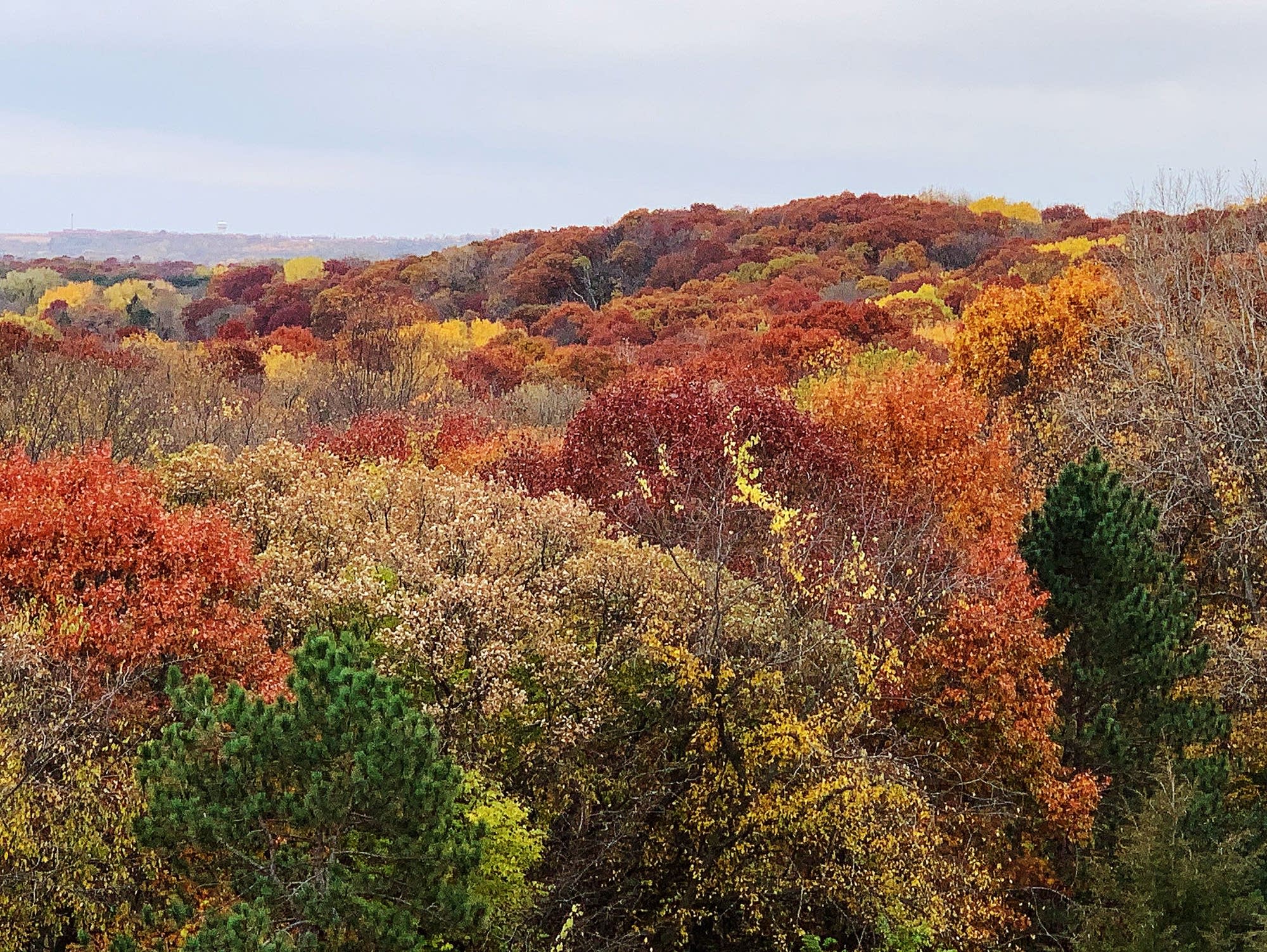
While many trees are past their fall color peak, there's still a colorful canopy of leaves at Cottage Grove Ravine Regional Park in Cottage Grove, Minn., on Wednesday, Oct. 14, 2020.
Andrew Krueger | MPR News
Go Deeper.
Create an account or log in to save stories.
Like this?
Thanks for liking this story! We have added it to a list of your favorite stories.
Audio transcript
CATHY WURZER: Since we last talked with MPR chief meteorologist, Paul Huttner, it's gotten downright frosty out there. Let's find out more about the extent of this cold snap and what's in store, and if we're going to get any rain or snow. Welcome back, Paul.
PAUL HUTTNER: Thanks, Cathy. Octo-mber, the months are mixing up again. We've had a little December preview here. A little taste of winter early this year around Minnesota.
CATHY WURZER: Yes, I know. That lake effect snowfall was pretty intense.
PAUL HUTTNER: It was. And this was the first big event for the season. The water temperatures, Cathy, that part of Lake Superior, Northern Wisconsin, the Upper Peninsula and Michigan still in the low 50s. So you crank that air that's in the 30s over that, and it's a big temperature contrast. And it sucks up that moisture, dumps it on the leeward shore.
They had 12 to 18 inches of snow in northwest Wisconsin, the Upper peninsula of Michigan. Marquette, Michigan set a record with 9.1 inches of snow Monday. Broke old record, which was just 1.6 inches. They had high surf from 10 to 20 foot waves that flooded streets. And wind gusts, I saw 64 mile an hour gust appropriately at Minneapolis Shoal, near the Upper peninsula of Michigan. So this wasn't just an intense October lake effect snow. It was a record October lake effect snow.
CATHY WURZER: Wow. So a little weather whiplash ahead of us here?
PAUL HUTTNER: Big weather whiplash. We set some temperature records in Minnesota. Two parts of North Dakota, Grand Forks hit nine above Tuesday morning, yesterday morning. Broke the record of 10. I saw nine above at Bemidji and teens all across Northern Minnesota. And again, today, I saw Brainerd and International Falls at 18.
So we go from that record cold to a very warm weekend ahead, from 20 degrees below average to 20 degrees above average in less than five days. It's gradual, though, for the next couple of days. Pretty nice out there and crisp today. We're at 44 in the Twin Cities. We top out around 47 with sunshine, then 55 tomorrow, 63 Friday.
Saturday will hit 70 in the Twin Cities and I think at least 75 on Sunday, a windy day with south winds, Cathy. But that 75 is 20 degrees above average. The average high is 55 by Sunday. So quite a bit of whiplash in temperatures this week.
CATHY WURZER: Of course, you heard me talking to people, lay about the need for some rain. And it looks like the system coming in could be a rainmaker.
PAUL HUTTNER: It does. And we have not had a significant rainfall in the Twin Cities and much of Southern Minnesota in more than seven weeks. The last time we had an inch of rain, August 27th and 28th. And of course, September was the driest on record, less than a quarter inch of rain. So we're down about nine inches now. Most of that since June 1st in terms of precipitation.
And of course, the impacts, I read on the Minnehaha Creek Watershed District, there's no water flowing into Lake Minnetonka from the tributaries. Of course, we know Minnehaha Falls is dry. Much of Minnehaha Creek is dry.
So here's the deal. We look at the maps, we see a big storm today, swirling up in the Gulf of Alaska. That will move southeast through Canada into Wyoming, Colorado, and then to Dakotas, Western Minnesota Sunday. The models are saying this could be a pretty widespread rain. Maybe some thunderstorms even Sunday night, Cathy.
And as far as totals, the European and American models are saying two inches is possible, the Red River Valley area, North Dakota, Northwest Minnesota. An inch widespread possibly, that's what the European model is saying today, from the Twin Cities north. So we'll have to see how that sets up exactly. Now, an inch won't ease our drought that much, Cathy. But hey, at least it's a start. We need about four or five more of these kinds of storms before the ground freezes up in December.
CATHY WURZER: Yeah, we do. And of course, as you heard my conversation with the forester from Minneapolis, trees are dying. I know you're going to talk about that during Climate Cast.
PAUL HUTTNER: Yeah, I am. We're going to talk to Lee Frelich, the director of forest ecology at the University of Minnesota. And here's the thing. This whiplash that we keep experiencing, it affects everything else too, the trees. We get these wet years, we get these drought years back-to-back or adjacent to each other. That's a big stress on all of the trees, of course. And I'll get more on that on Climate Cast on Thursday with Lee Frelich.
CATHY WURZER: It was suggested too that folks go out and water their trees. How long do you think we have timewise now before the soil start to freeze up?
PAUL HUTTNER: I think we have a few weeks because we're warming up through this weekend. It will get colder again early next week, right through the middle of next week I think. But then it looks like it'll warm up again. NOAA's eight to 14 day outlooks are calling for above average temperatures. So typical ground freeze up late November into December. So I think we have a good month, maybe a month-and-a-half to get some of those trees some needed water.
CATHY WURZER: Paul Huttner, thank you as always.
PAUL HUTTNER: Thanks, Cathy. Have a great day.
CATHY WURZER: You too. Now, of course, you listen to Paul in Climate Cast, that's Thursdays. You can, of course, get the Climate Cast podcast wherever you get your pods. And you can listen to Paul and Tom Crann every weekday during All Things Considered. Of course, ATC can be heard 3:00 until 6:00 here on MPR News.
Download transcript (PDF)
Transcription services provided by 3Play Media.
