
Forecast: Mixed bag
Go Deeper.
Create an account or log in to save stories.
Like this?
Thanks for liking this story! We have added it to a list of your favorite stories.


[image]
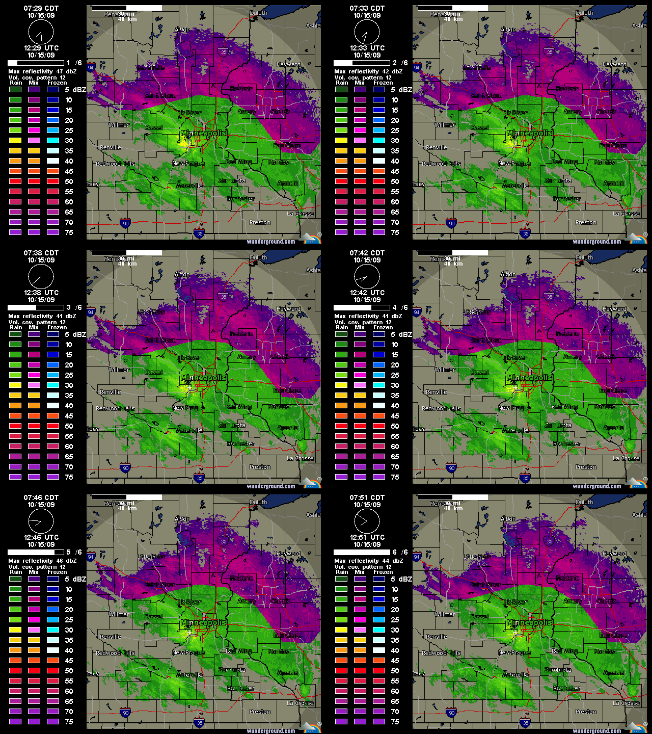
Twin Cities NWS doppler showing rain snow line just north of the metro with mixed precip in the Twin Cities.
What a difference 3 degrees makes.
A mix of rain and snow is greeting metro residents this morning. Temperatures have been hovering around 35 degrees this morning. If it was just 3 degrees colder at the surface, our wet morning commute could be a traffic nightmare. We can be thankful for small atmospheric favors this morning.
Turn Up Your Support
MPR News helps you turn down the noise and build shared understanding. Turn up your support for this public resource and keep trusted journalism accessible to all.
Expect temperatures to hover near and just above freezing today in much of Minnesota and Wisconsin. Precipitation may change from rain to snow and back again more than once. It is possible a slushy inch or so of wet snow may accumulate in the metro on rooftops and grassy areas today. 1 to 3 inches may accumulate north of the metro and into northwest Wisconsin.
The last in a series of chilly winter-like weather disturbances will glide through the area Friday. This will bring one more shot at rain and snow showers to the region.
Brighter Weekend Ahead:
Ridges in the atmosphere generally bring good weather. We've got one moving in just in time for the weekend. Here's what you can expect the next few days.
Today: Rain snow mix. A slushy inch possible. High near 40.
Friday: Clouds hang in, scattered rain or snow showers. High near 43.
Saturday: A few morning clouds then mostly sunny and milder. High near 50.
Sunday: Breezy and milder with bright sun. High near 60.
Enjoy the improving weather this weekend!
PH

