
Rain & thunder
Go Deeper.
Create an account or log in to save stories.
Like this?
Thanks for liking this story! We have added it to a list of your favorite stories.


Our wet Wednesday arrived with a flash and a bang this morning.
Wave #1 of showers and a few thunder boomers woke us around 5am this morning. The next wave is moving through southern Minnesota today, and a third wave may linger into this evening.
A vigorous low pressure system is bringing a good shot of rainfall to southern Minnesota today. By the time it's done tonight, many areas will record .50" to 1" of rainfall, with some rain gauges brimming with over an inch.
[image]
Turn Up Your Support
MPR News helps you turn down the noise and build shared understanding. Turn up your support for this public resource and keep trusted journalism accessible to all.
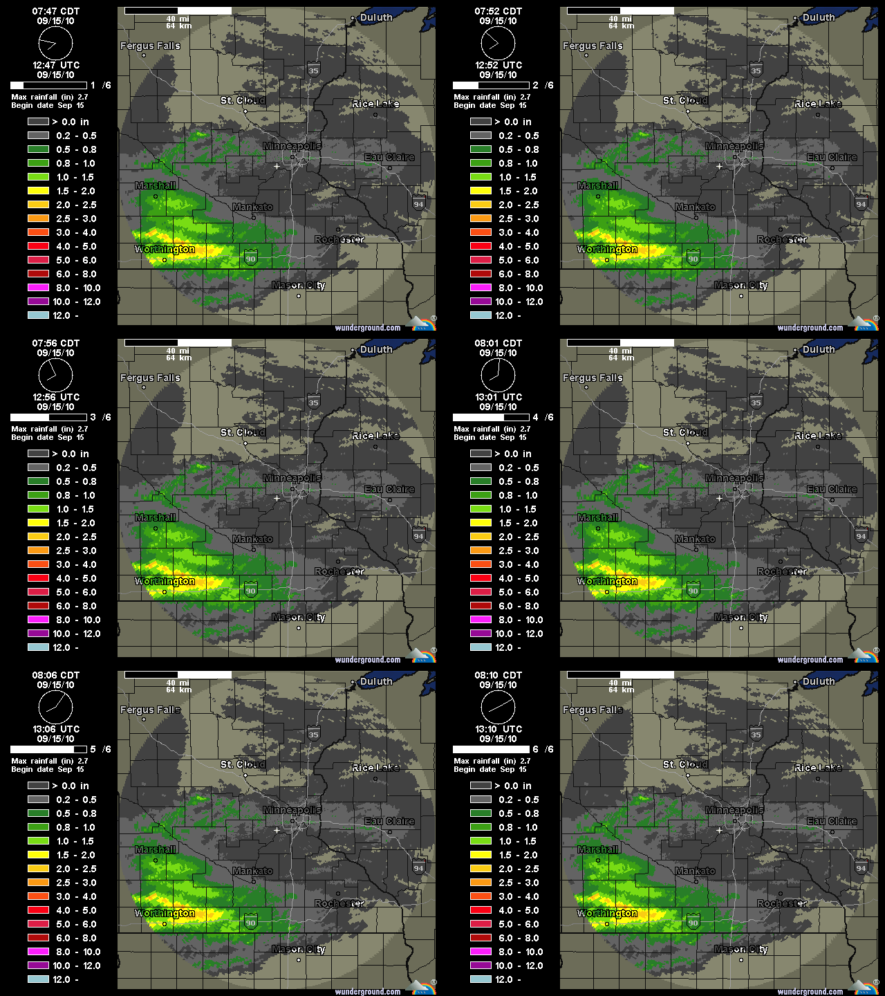
NEXRAD Storm total rainfall shows heaviest rains in southwest Minnesota Wednesday morning.
Here are some rainfall totals around the metro with the morning wave of rain.
Eden Prairie .12"
St. Paul .24"
Twin Cities Airport .29"
Crystal .34"
Though we'll see a little lightning and hear some cracks of thunder, it appears most of the rain will come through without widespread severe weather. Still, there is a slight risk for severe weather over portions of southern Minnesota, with a better chance in Iowa today.
Expect occasional rain and some thunder through this evening before the system pulls out tonight.

