
Slow motion autumn: 60s again Thursday
Go Deeper.
Create an account or log in to save stories.
Like this?
Thanks for liking this story! We have added it to a list of your favorite stories.


Noevmber Lite
Our slow motion autumn and descent into winter continues. Fitting for a year that's coming in as one of the warmest and wettest on record for Minnesota, and the second warmest on recrod for the USA.
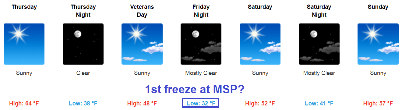
Temperatures continue to run 15 degrees warmer than average across Minnesota and the Upper Midwest. Thursday brings another October-like day with highs in the 50s north and 60s south once again.

A cool front drops temps a few degrees again Friday and Saturday. But in the warm year of 2016, cool fronts in Minnesota are more like the children of Lake Wobegon; above average. Another big sunny high pressure system sprawls over Minnesota for the weekend.
Turn Up Your Support
MPR News helps you turn down the noise and build shared understanding. Turn up your support for this public resource and keep trusted journalism accessible to all.
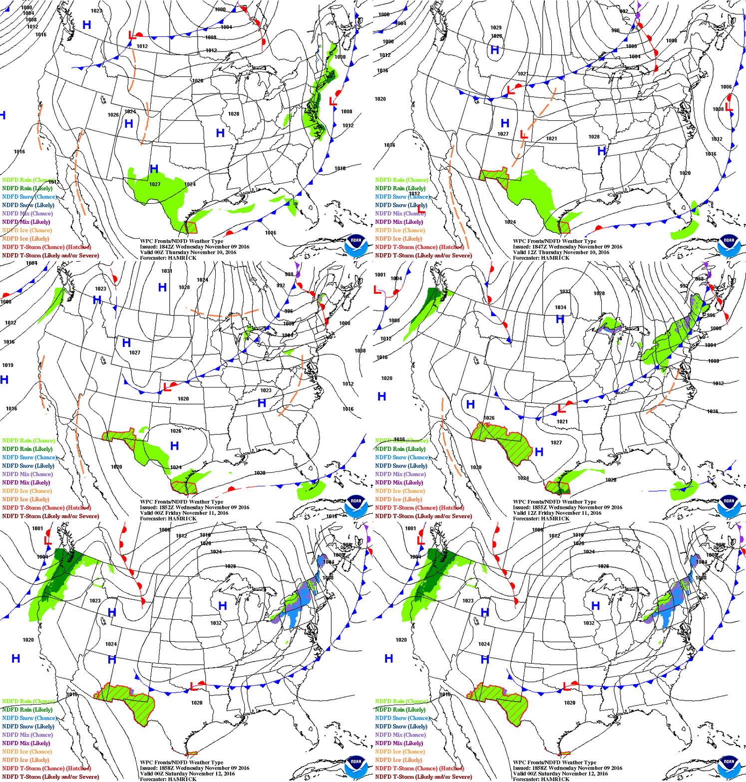
Temperatures continue to run warmer than average (45/30 at MSP) the next few days. Our generally sunny and rare dry spell continues.
I'm still keeping an eye on potential rain or snow for Thanksgiving week.
Stay tuned.

