
June pattern arrives early; chaotic weather week in USA
Go Deeper.
Create an account or log in to save stories.
Like this?
Thanks for liking this story! We have added it to a list of your favorite stories.


Minnesotans can count our weather blessings this week. We're leading relatievly charmed weather lives under a protective high pressure ridge in between two chaotic cut off low pressure systems.

Monday's intense, damaging hail event pounded metro Denver.
The northeast is dealing with frost and chilly rain.
And last weekend the mountains near San Diego saw heavy snowfall on top of the last phase of a wildflower super-bloom.
Turn Up Your Support
MPR News helps you turn down the noise and build shared understanding. Turn up your support for this public resource and keep trusted journalism accessible to all.
Back to beautiful
Wednesday's spotty showers sail off to the east. The sun returns to Minnesota the next few days. A warming pattern kicks in. It will feel like early June by Saturday with we flirt with the first 80 degree temperature of the season in the Twin Cities.

Rain next week
Next week looks potentially wetter. Low pressure spins toward Minnesota Monday and Tuesday with widespread showers in tow.

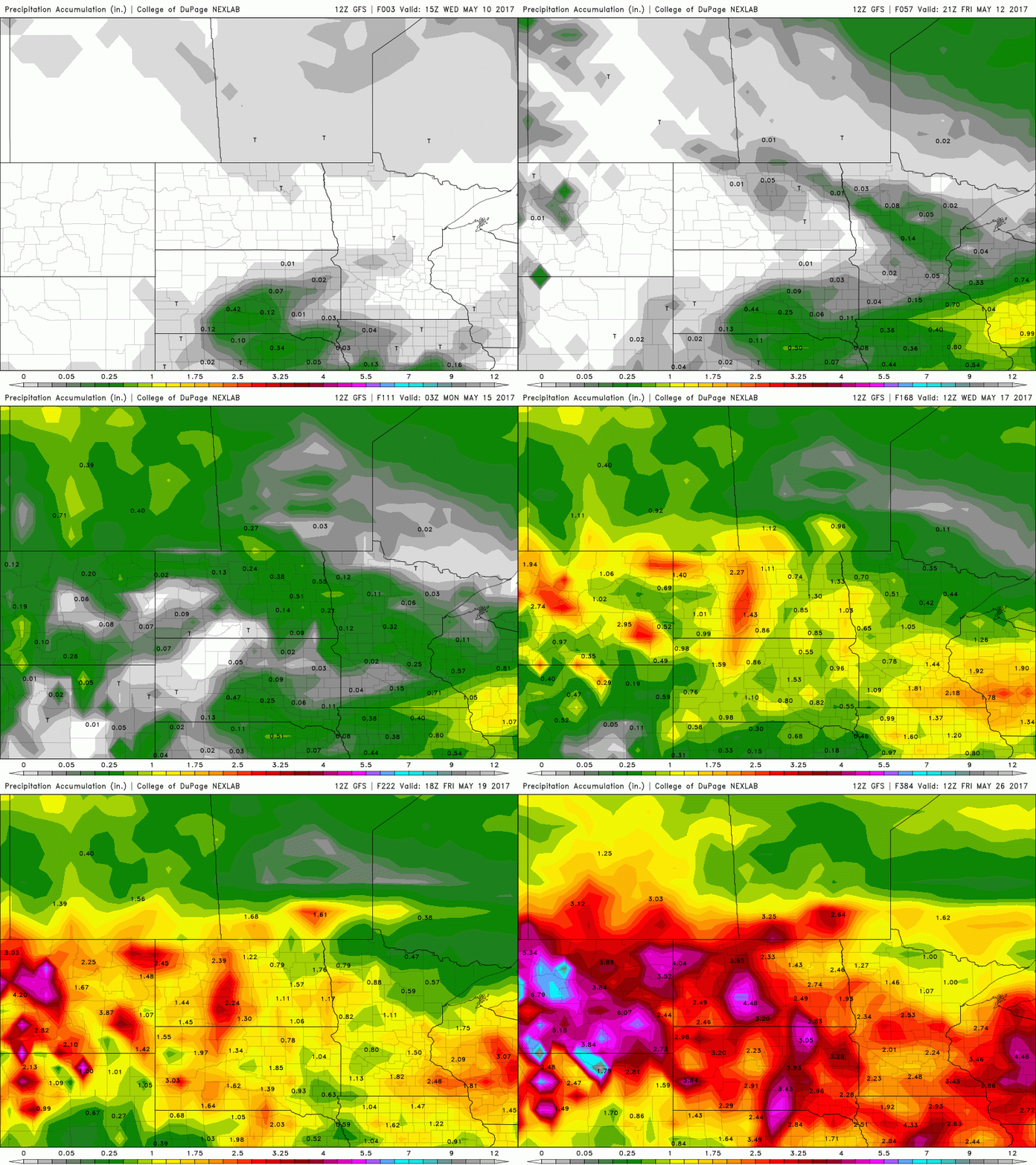
NOAA's GFS model cranks out some 2" to 3" rainfall totals across southern Minnesota in the next 16 days.
In the meantime, we enjoy our improving weather pattern ahead heading into the weekend.

