5 years after flood, lone road through Jay Cooke state park reopens

Hwy. 210 reopened more than five years after it was closed due to floods.
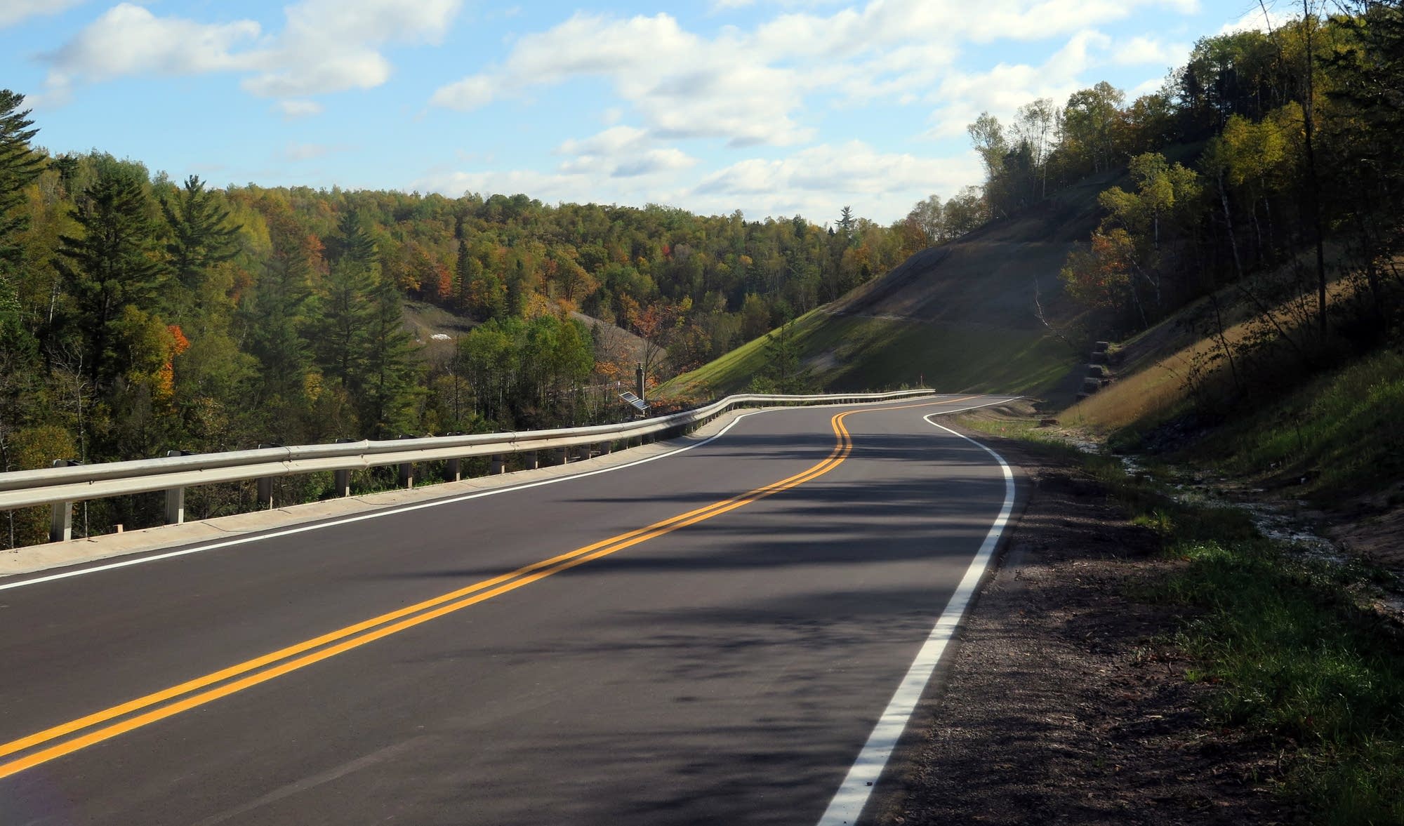
Highway 210 through Jay Cooke State Park reopened Wednesday.
Dan Kraker | MPR News

When more than 10 inches of rain fell on the Duluth region in the summer of 2012, the damage was so bad to Highway 210 — the only road that runs through Jay Cooke State Park — officials thought it would never reopen.

In one section, a small reservoir washed out, sending a 200-yard wide torrent of water racing downhill that cleaved the highway in two, creating a chasm nearly 100 feet deep and nearly 600 feet across.

Mudslides washed out more than 70 other spots along the scenic highway that runs along a steep ridge above the St. Louis River, which races downhill over rapids lined with jagged rocks until it slows down before reaching Lake Superior.

"When I first saw the road after the flood, I was convinced we'd never drive through the park again," recalled Jay Cooke State Park naturalist Kristine Hiller. "It just was so damaged."

Create a More Connected Minnesota

MPR News is your trusted resource for the news you need. With your support, MPR News brings accessible, courageous journalism and authentic conversation to everyone - free of paywalls and barriers. Your gift makes a difference.

Highway 210
A section of Highway 210 near Jay Cooke State Park was washed out during heavy rains and flooding near the park years ago. This washout is nearly 50 feet deep.
Derek Montgomery for MPR News 2012

MnDOT quickly repaired the section of highway that led to the park's visitor center and a popular overlook.

The state park has since reopened the iconic swinging bridge that crosses the St. Louis River, and repaired most of the hiking trails damaged by the flooding.

But the highway running through the park, connecting the Fond du Lac neighborhood of western Duluth with Carlton, remained closed. Any fix would be expensive for a road that didn't see a lot of traffic. So MnDOT sent out a survey, asking the public if it wanted the highway rebuilt?.

The response was an overwhelming "yes," despite a price tag of $21.3 million to fix the final 3.3 mile stretch of highway. Eighty percent of the cost was covered by federal emergency funds; state funding paid for the rest.

"It's costly for the amount of traffic that goes on it," acknowledged MnDOT engineer and project manager Aaron Gunderson. "However, this is a resource, it's a gem. As a member of the public, it's great to have this open up again."

The highway twists and turns high above the river, following a historic portage trail that once connected the Great Lakes with the Mississippi River basin.

Engineers who worked on the project — which stretched over three construction seasons — say it's one of the most high-tech road projects completed in the region.

It features 1,800 sensors imbedded in the steep slopes above and below the highway, powered by solar panels, that relay information to engineers every four hours. If those sensors detect any tiny movement in the soil, they're notified by email and text.

So if a drainage system backs up, for example, officials could be notified in advance to fix the issue before water backs up and overtops the highway.

"It's probably the most advanced instrumentation project that we know of in the Midwest, and maybe one of the most complex in the U.S.," said Travis Davidsavor, a senior geotechnical engineer with Barr Engineering in Duluth.

The monitoring will last for three years, as part of a warranty that covers any failures in the design and construction of the highway slopes.

Officials inspect a retaining wall along a repaired section of Hwy. 210.
Officials inspect a retaining wall along a newly repaired section of Highway 210 in Jay Cooke state park.
Dan Kraker | MPR News

Underground drainage systems were also installed to siphon groundwater away from steep hillsides, to prevent oversaturation that could lead to major erosion.

Culverts that washed out during the flooding five years ago were replaced with larger ones to account for larger, more intense rainstorms that are forecast to occur with climate change.

And more than 25 acres of slopes were reseeded with native grasses and shrubs to prevent erosion.

Before the official reopening of the highway, the construction was put to an early test, when three inches of rain fell over the project site.

Project manager Aaron Gunderson didn't sleep well that night.

"The monitoring equipment showed that the groundwater came up really high, however the slopes didn't move," he said. "So that's a really good indicator of success."