
Freeze ends growing season for many, but 34 at MSP
Go Deeper.
Create an account or log in to save stories.
Like this?
Thanks for liking this story! We have added it to a list of your favorite stories.


It was a frosty start as advertised this morning at the Huttner Weather Lab.
Temperatures reached 32-degrees or colder over most of Minnesota overnight. The 2017 growing season ended basically everywhere north and west of the Twin Cities' inner urban metro core. Minnesota rode the leading edge of a frigid air mass from the Rockies all the way south to west Texas.

Milder days ahead
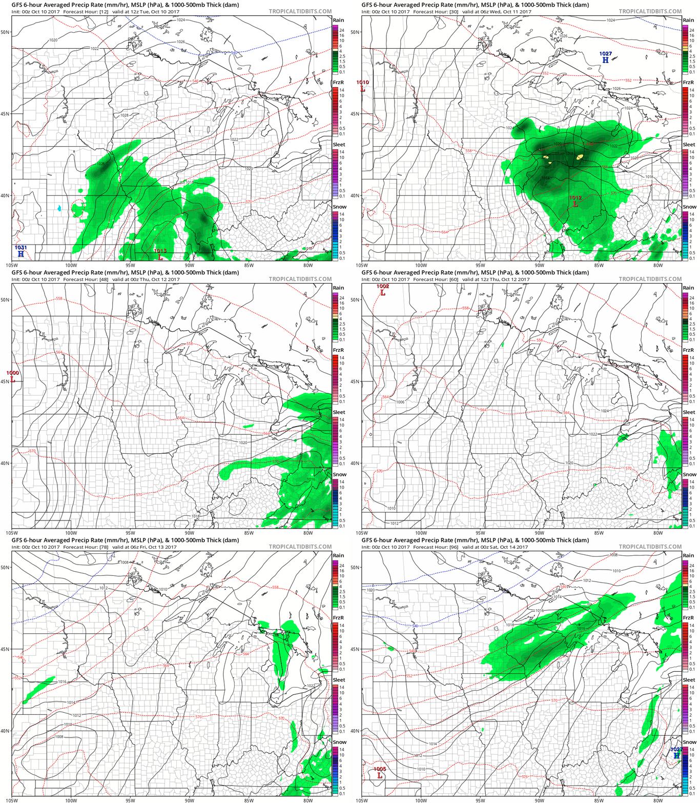
This will be the coldest morning this week across Minnesota. We return to a milder southerly flow as the week progresses. The next chance for (light) showers arrives Friday. Here's NOAA's GFS.
Turn Up Your Support
MPR News helps you turn down the noise and build shared understanding. Turn up your support for this public resource and keep trusted journalism accessible to all.
A shot at 70?
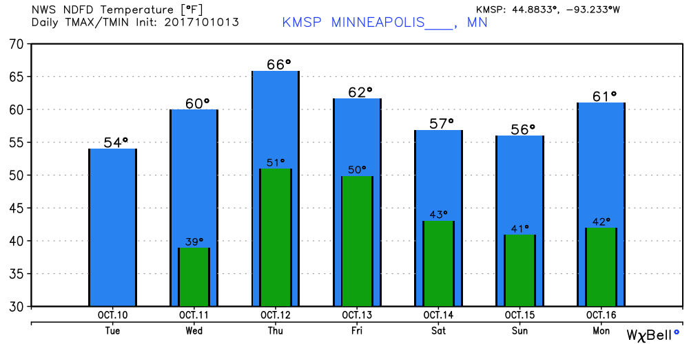
Most of Minnesota hovers in the 50s this afternoon. Most of this week features highs in the 60s. I think the numbers below could be conservative on Thursday, the Twin Cities has a real shot at 70 degrees Thursday afternoon.
Unsettled weekend
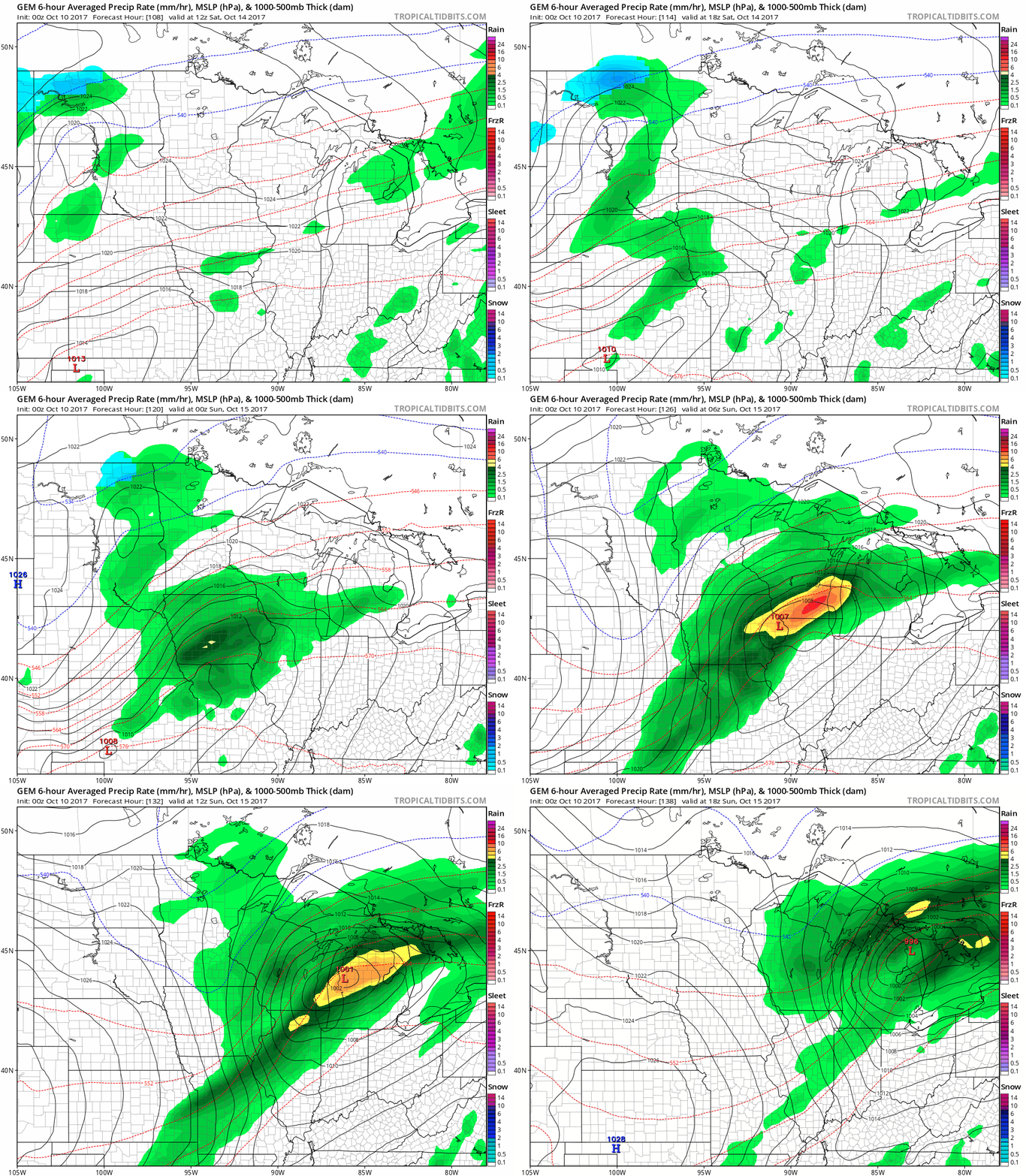
The models continue to come up unsettled for the weekend. Low pressure tracking south of Minnesota focuses the heaviest rains across Iowa and southern Wisconsin. Lighter showers across Minnesota may race east and allow for sunshine Sunday afternoon.
Mild weather returns next week?
The longer range upper air trends suggest milder weather may return next week. The jet stream may meander back into Canada at least temporarily.
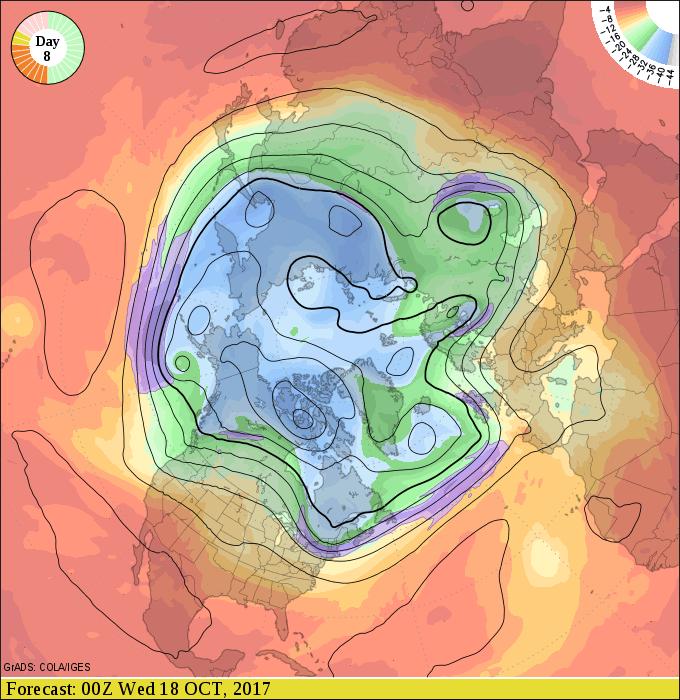
NOAA's 16-day GFS guidance suggests more days in the 60s next week, and a low probability of temps reaching 32 degrees at MSP Airport.
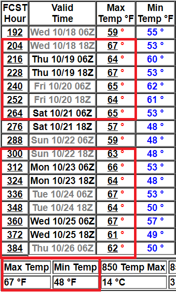
We'll see. Upper air patterns can change rapidly in October. I wouldn't categorically rule out another frosty morning in the next two weeks.
Stay tuned.

