
Taste of spring: Spectacular Saturday ahead
Go Deeper.
Create an account or log in to save stories.
Like this?
Thanks for liking this story! We have added it to a list of your favorite stories.


“In the spring, I have counted 136 different kinds of weather inside of 24 hours.” — Mark Twain
Mark Twain's keen weather sense certainly applies to a Minnesota spring.
I'll be honest. The professional side of me keeps an even keel and reports on our weather as it unfolds. But the personal side of me savors a warm sunny day. And I'm way past ready for a good long run of warm sunny weather after another reluctant spring.
Turn Up Your Support
MPR News helps you turn down the noise and build shared understanding. Turn up your support for this public resource and keep trusted journalism accessible to all.
I'm going to soak up Saturday. That's me in the sunny spot. With sunscreen on. Basking in the (relative) warmth.
Edge of spring
Minnesota continues to ride the (far) northern edge of spring this year. Highs int he 70s finally push into the southern half of Minnesota Saturday afternoon. The next cool front keeps temperatures a few degrees cooler up north.

Back to the 60s
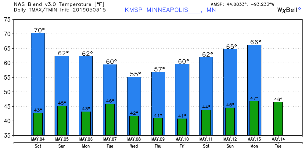
Unfortunately, our 70 degree high Saturday is a singularity for the next 10 days. Temperatures bounce around through the 60s early next week. Rain chances keep highs in the 50s next Wednesday and Thursday.
Rain chances
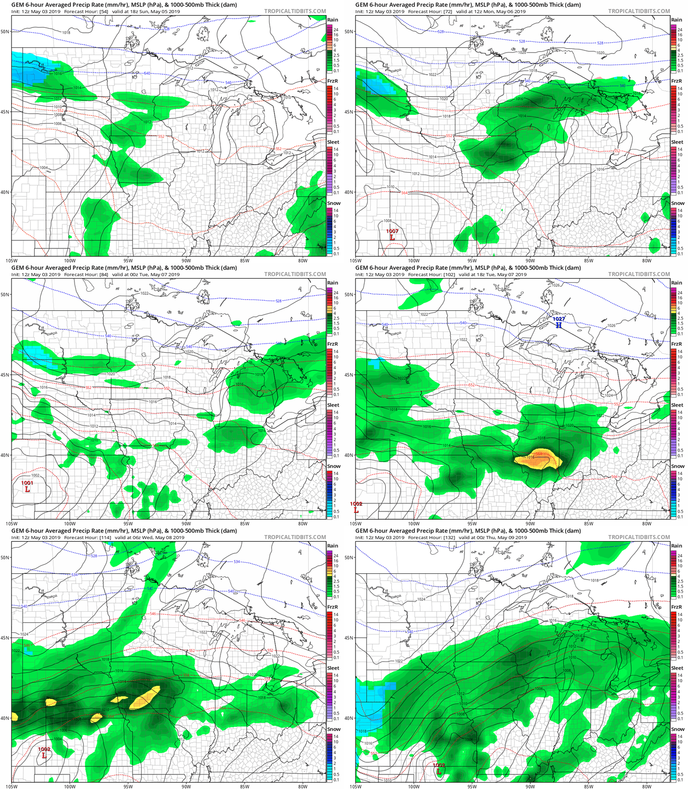
A few renegade showers cross southern Minnesota Friday evening. Rain chances also visit Sunday, and again next Wednesday and Thursday across southern Minnesota. The Canadian GEM model picks up on the systems Sunday and again toward the middle of next week.
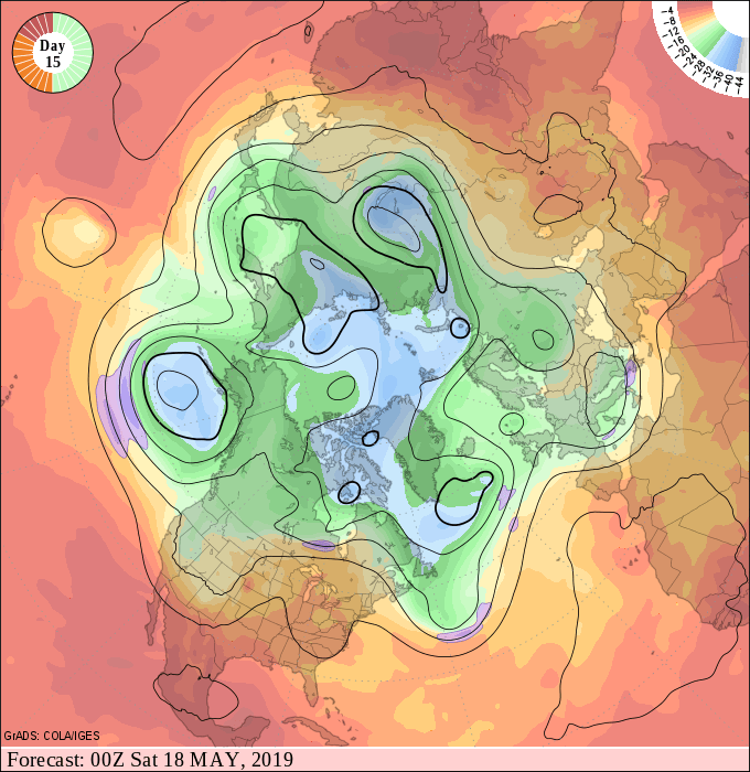
NOAA's longer-range upper air maps continue to hint at warmer, and potentially stormy air in the longer range.
More spotter training
Skywarn classes continue this weekend.

