
Severe risk: Watches and warnings likely late Tuesday afternoon, evening

Go Deeper.
Create an account or log in to save stories.
Like this?
Thanks for liking this story! We have added it to a list of your favorite stories.


Doppler radars will get a good workout Tuesday afternoon and evening across Minnesota.
The atmosphere becomes increasingly unstable. Most of Minnesota is under a slight risk for severe weather Tuesday. But the National Oceanic and Atmospheric Administration's Storm Prediction Center has upgraded the area between Duluth and the Twin Cities to a higher, "enhanced" level of risk.
The primary threats are damaging winds and large hail.

Storm timing
Turn Up Your Support
MPR News helps you turn down the noise and build shared understanding. Turn up your support for this public resource and keep trusted journalism accessible to all.
A weak cool front slices into warm and humid air mas triggering thunderstorms across north-central Minnesota by midday Tuesday. The storms should race south at around 40 mph late in the afternoon.
Most models favor a broken line of storms racing southward in Minnesota from Red Lake through Brainerd and St. Cloud Tuesday afternoon, then into the Twin Cities area between 6 and 8 p.m. The storms then race for Rochester by around 10 p.m.
Here's NOAA's NAM 3 km resolution model between 1 p.m. and 11 p.m. CDT.
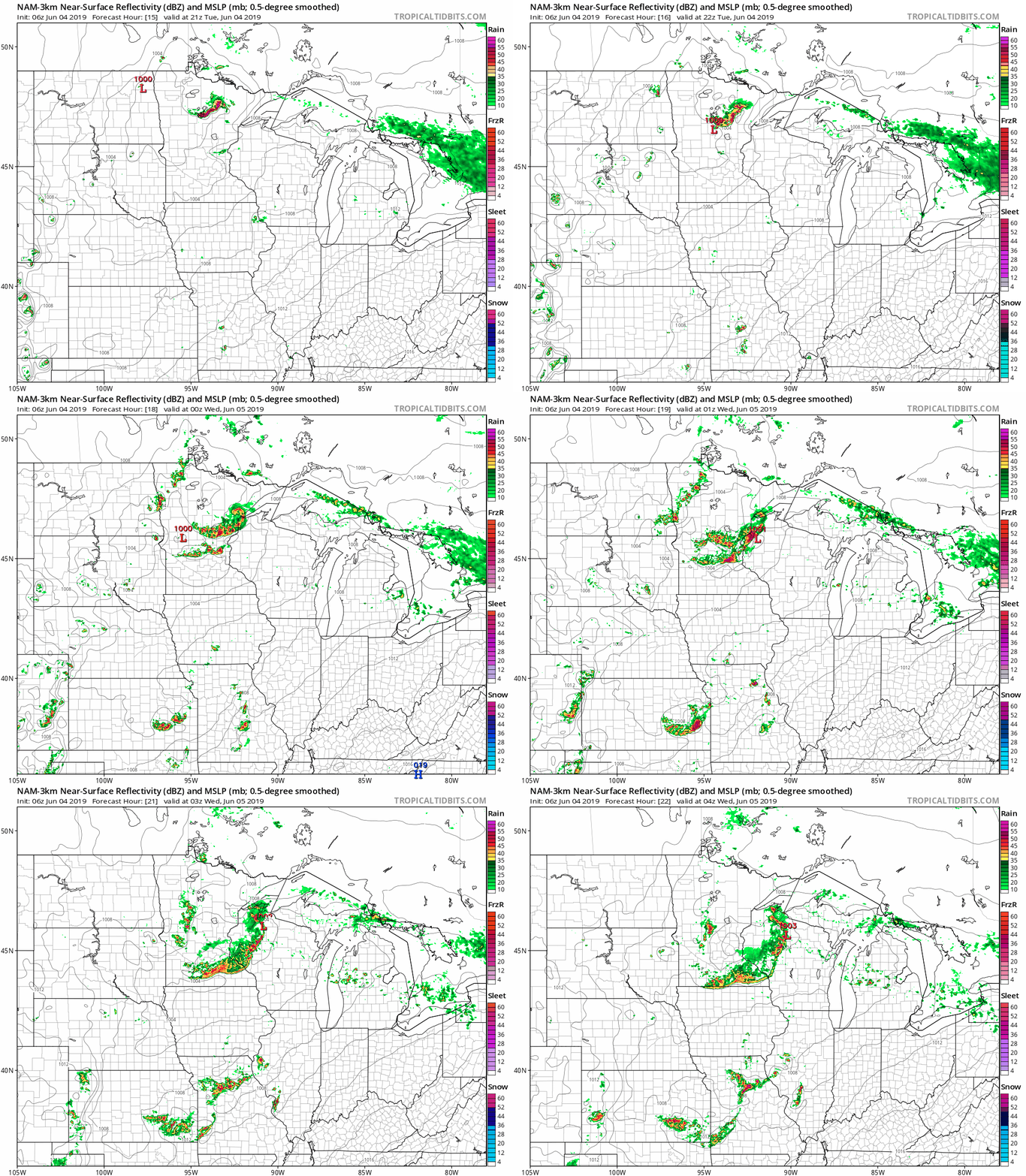
Stay tuned this afternoon and evening as the timing and details unfold. Severe weather and warnings are likely.
Steamy air mass
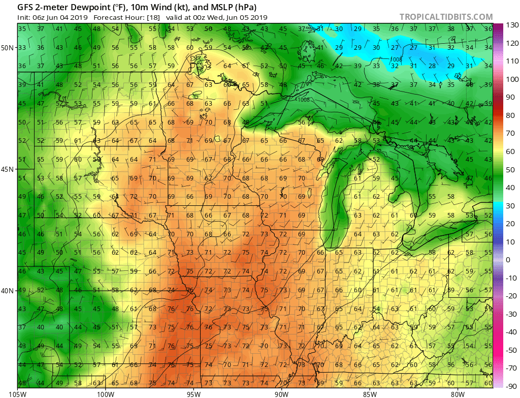
You'll notice the dew point surging this afternoon. It could hit the tropical 70-degree mark by late afternoon close to the Twin Cities.
Summery week
The front will dry out the air mass Wednesday, but highs in the 80s remain this week. Next week looks a few degrees cooler with highs in the 70s.

Stay alert for severe weather this afternoon and evening.

