
Hit and miss: More humid, spotty thunderstorm coverage ahead
Competing atmospheric factors drive limited storm coverage Thursday
Go Deeper.
Create an account or log in to save stories.
Like this?
Thanks for liking this story! We have added it to a list of your favorite stories.


Talk to a good severe storm forecaster and you’ll meet somebody with excellent analytical skills.
Meteorologists constantly sift through dozens of atmospheric variables. They assess atmospheric stability indices with funny sounding acronyms like SWEAT, Lifted index, K-index, and CAPE. Potent summer sunshine and limiting cloud layers compete and interact to determine favorable and unfavorable thunderstorm development zones.

So, what separates the best weather forecasters? It often comes down to judgement skills. Who can take a dozen weather variables and see which one or two will win the day? Some of the best on the planet work at National Oceanic and Atmospheric Administration’s Storm Prediction Center in Norman, Okla.
Thursday’s storm risk looks spotty and iffy to me. We’ll see a few spotty thundershowers. A couple may reach severe limits but the setup is weak compared to last Friday’s derecho scenario.
Turn Up Your Support
MPR News helps you turn down the noise and build shared understanding. Turn up your support for this public resource and keep trusted journalism accessible to all.
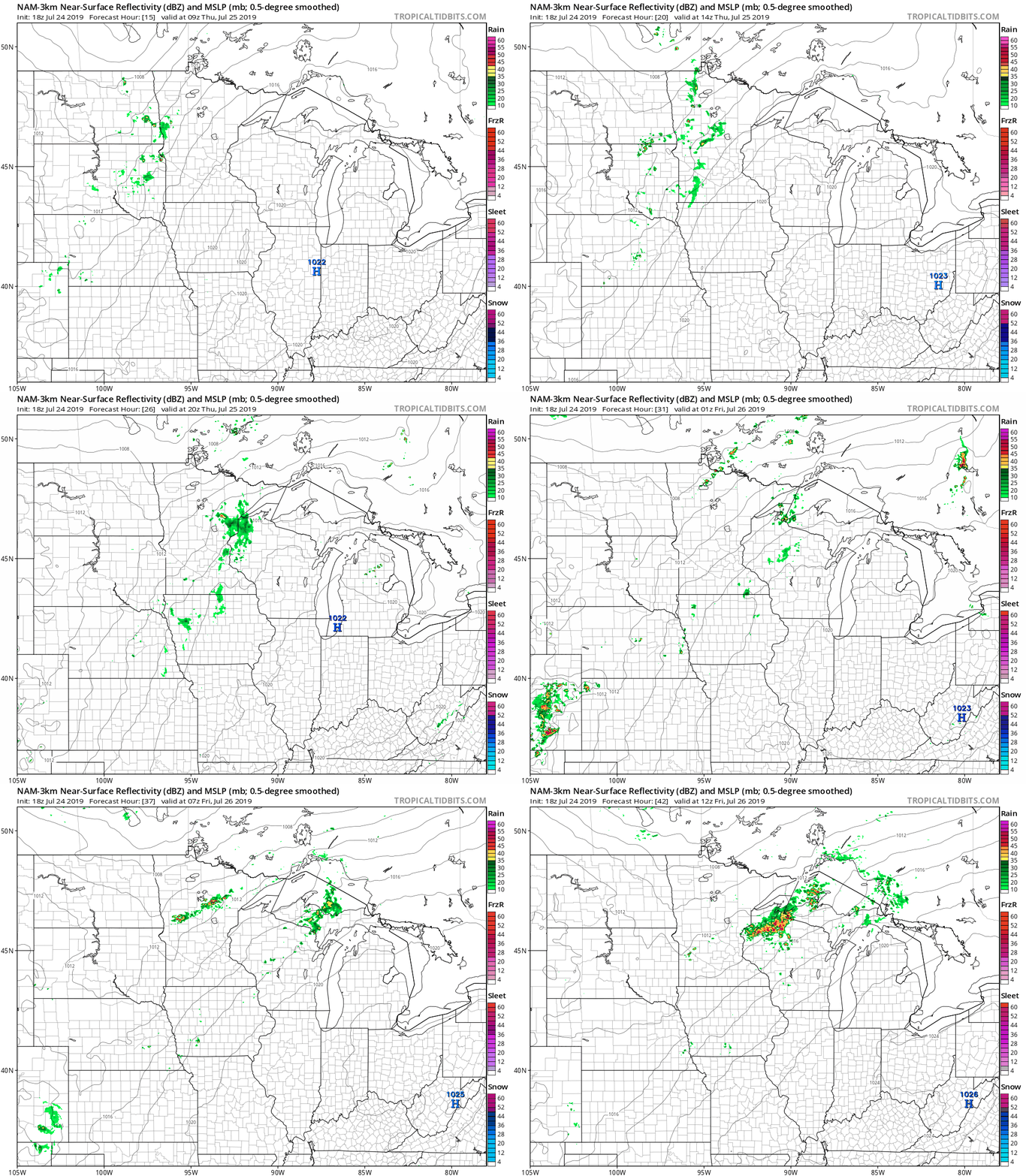
NOAA’s North American Mesoscale Forecast System 3 km resolution model captures the essence of spotty storm coverage Thursday into Friday.
Slightly steamy
You’ll notice the humidity creeping up gradually the next few days. Dew points rise form the 50s into the mid- and upper 60s by this weekend. Highs in the mid- to upper 80s will make it feel toasty out there.
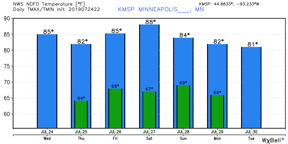
So far July is running 2.4 degrees warmer than average in the Twin Cities.
The summer of 2019 rolls on.

