
Halloween chill; more 'inland lake-effect' snow; mid-November warming trend?
Cold bias continues next week
Go Deeper.
Create an account or log in to save stories.
Like this?
Thanks for liking this story! We have added it to a list of your favorite stories.


2019 goes down as one of the colder Halloween nights across Minnesota.
Our early wintry chill lingers through next week across Minnesota. There are whispers of milder breezes starting in about 10 days.
If you look objectively at the numbers, this was a fleeting six-month warm season in Minnesota. Mild air arrived in mid-April. It vanished in mid-October.
Welcome to mid-continental climate life at 45 degrees north latitude.
Turn Up Your Support
MPR News helps you turn down the noise and build shared understanding. Turn up your support for this public resource and keep trusted journalism accessible to all.
More ‘inland-lake-effect’ snow up north
Our Minnesota lakes are still relatively warm compared to these frigid Canadian air masses overhead. That temperature contrast generated more lake-effect snow plumes off some of the bigger lakes up north.
This time Burntside and Vermillion got in on the microscale snowy act.
Cold lingers through next week
What you see is what you get for the next week. We may see a few snow showers Friday morning and a mix of light rain of snow showers Monday. Right now I still don't see any big snow in sight for most of Minnesota.
Mid-November warming trend?
The upper air pattern suggests modest temperature moderation across the Upper Midwest around Nov. 9-10.
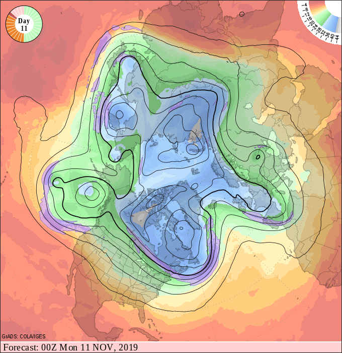
It appears we’ll see more highs in the 40s and possibly low 50s across southern Minnesota.

