
Storm Update: Thundersnow possible, slow morning commute
Heavy snow for much of Minnesota
Go Deeper.
Create an account or log in to save stories.
Like this?
Thanks for liking this story! We have added it to a list of your favorite stories.


We’re still on track for heavy snow across much of the region. For up to the minute storm updates, including tweets from MPR Weather and other sources, check out the MPR Severe Weather live blog.
Snowy scenes cover much of Minnesota into early Wednesday.
Winter storm warnings are in effect into Wednesday morning.
Turn Up Your Support
MPR News helps you turn down the noise and build shared understanding. Turn up your support for this public resource and keep trusted journalism accessible to all.
Thundersnow?
One feature of our winter storm may include thundersnow.
Lightning strikes have been detected in Iowa moving north.
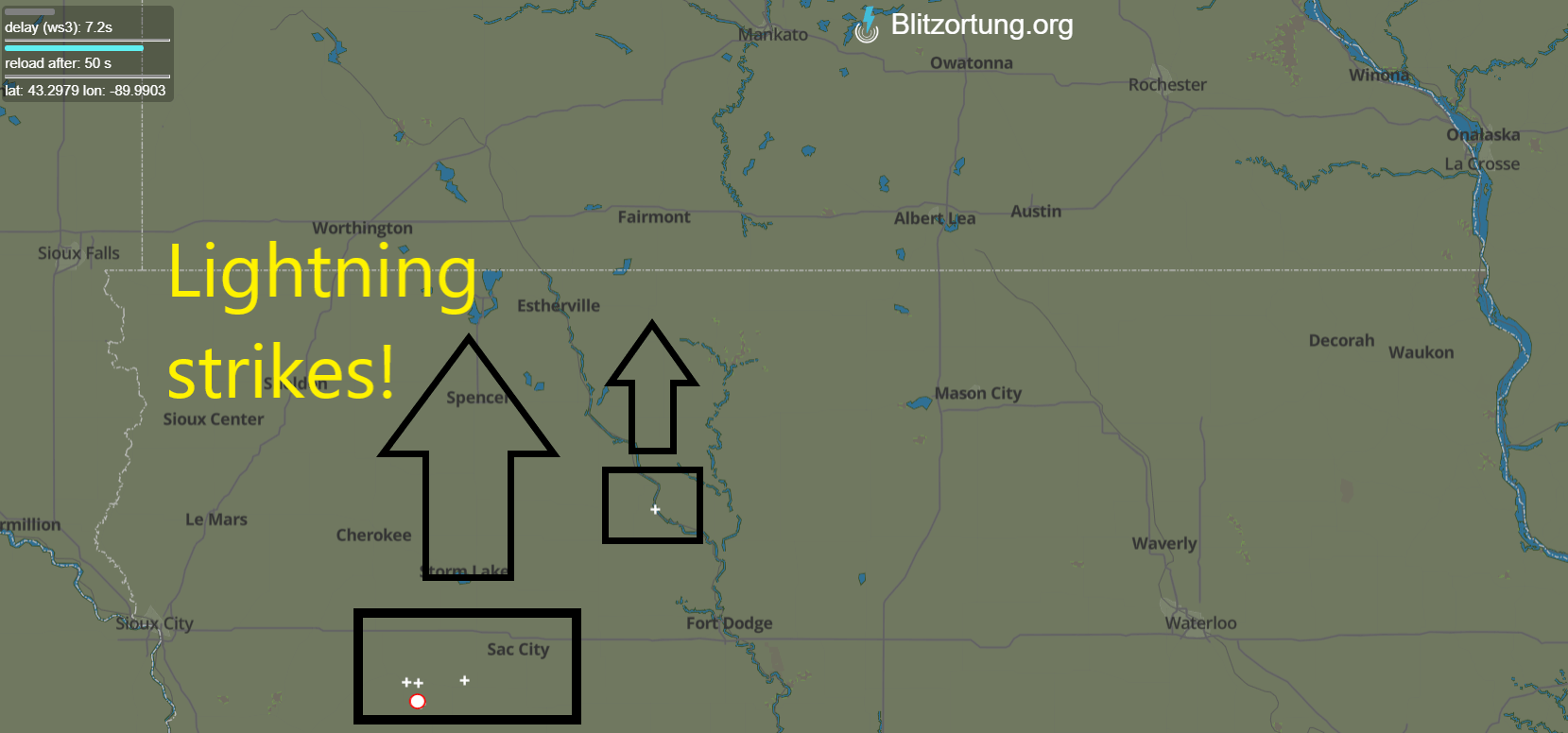
There’s enough instability in this storm to create vigorous localized updrafts withing the bigger storm system. These mini-thunderstorm cells within the larger storm can produce convective snowbursts with snowfall rates of 1” to 2” per hour.

