Growing chance for snow and subzero cold next week

Models dialing in on snow and bitter cold next week

Blustery Stearns County
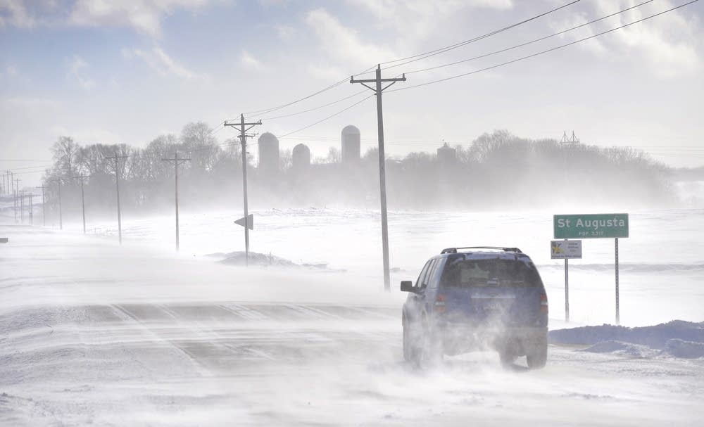
An SUV ventures past the St. Augusta, Minn., city limits sign on Stearns County Road 136 in near white-out conditions in January 2014 south of St. Cloud, Minn.
Kimm Anderson | St. Cloud Times via AP 2014

The first significant arctic outbreak of meteorological winter looks increasingly likely next week. A shot of fresh snow cover will likely pave the way Monday.

Here are the latest forecast model trends for next week:

Monday snow

Pretty much every model I trust lays out a band of snow across Minnesota next Monday. There are the usual differences on timing and totals, but the net impacts look very similar. Most models suggest snow will begin late Sunday night. That means it could be a difficult rush hour Monday morning.

The National Oceanic and Atmospheric Administration’s Global Forecast System model has not performed well on our past two snow events. But the GFS Wednesday looks similar to the Canadian and European models on timing. It depicts snow late Sunday night through Monday.

Create a More Connected Minnesota

MPR News is your trusted resource for the news you need. With your support, MPR News brings accessible, courageous journalism and authentic conversation to everyone - free of paywalls and barriers. Your gift makes a difference.

NOAA GFS model Sunday night and Monday
GFS model Sunday night and Monday
NOAA, via tropical tidbits

A few inches?

Again, it’s too early to be specific about snowfall totals for a system five days out. But most models suggest a few plowable inches Monday. And with temperatures likely falling through the 20s into the teens Monday, the roads could be very dicey.

First subzero outbreak from MSP

Most of northern Minnesota has already seen subzero temperatures this season. The Twin Cities dipped to 5 degrees on Nov. 12. That’s the coldest temperatures at the Minneapolis-St. Paul International Airport so far this cold season.

We enjoy a few more relatively mild days before temperatures plunge Monday and Tuesday.

Temperature forecast for Twin Cities
NOAA, via Weather Bell

The upper-air forecast maps next week continue to drive a deep low-pressure trough over the central United States. Minnesota will essentially see a glancing blow from the southern end a chunk of the polar vortex, which spins over Hudson Bay next week.

NOAA upper air forecast map for 6 pm December 10
Upper-air forecast map for 6 p.m. Dec. 10.
NOAA

How cold?

There are still forecast model differences on precisely how cold Minnesota will get next week. The European Centre for Medium-Range Weather Forecasts model cranks temperatures as low as minus 18 in the Twin Cities.

NOAA’s GFS output suggests temperatures close to minus 20 on Wednesday morning, Dec. 11.

NOAA GFS model 16-day temperature outlook for Minneapolis
GFS model 16-day temperature outlook for Minneapolis
NOAA, via Meteostar

Stay tuned.