Snow done; subzero cold next

Season's coldest air mass so far blows in

Blustery Stearns County
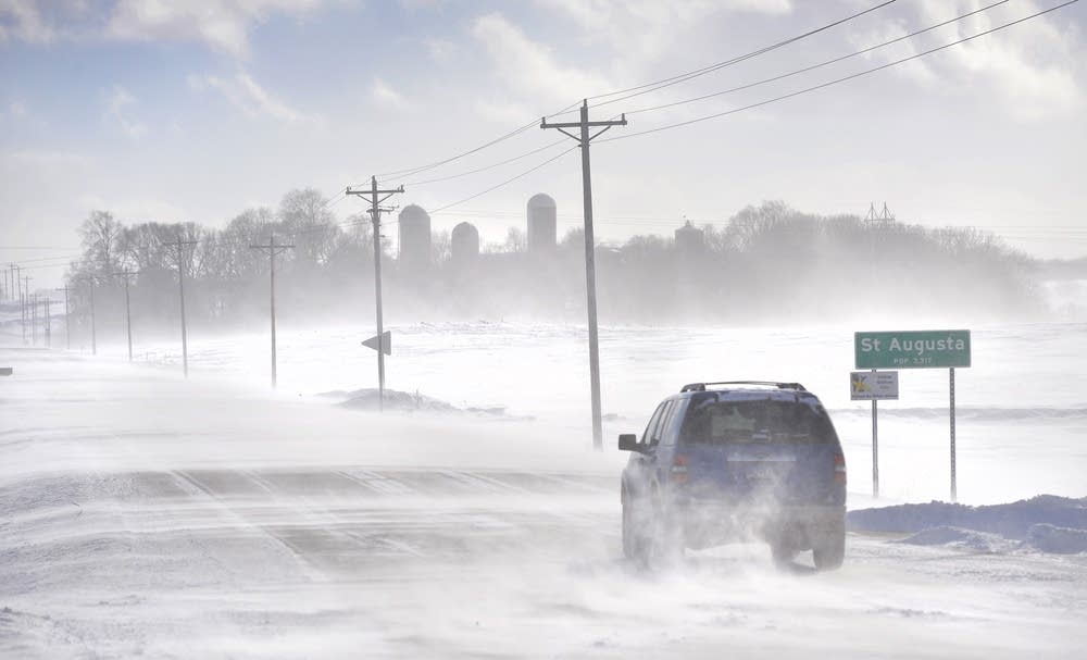
An SUV ventures past the St. Augusta, Minn., city limits sign on Stearns County Road 136 in near white-out conditions in January 2014 south of St. Cloud, Minn.
Kimm Anderson | St. Cloud Times via AP 2014

Here we go.

The first blast of subzero air follows our fresh snowy coating this week. This won’t be the coldest air we’ll see this winter, but it will get our attention.

The overall cold snap lasts about 60 hours — from Monday evening through Thursday morning. Most of Minnesota endures three subzero mornings this week.

Temperatures bottom out in the single digits and teens below the next two nights across Minnesota. The Twin Cities likely bottoms at minus 5 Tuesday morning and minus 10 Wednesday morning.

Forecast low temperatures Tuesday and Wednesday mornings
Twin Cities National Weather Service

The record at the Minneapolis-St. Paul International Airport Wednesday morning is minus 14. I don't think we’ll quite get there.

Wind chills the next two nights hover in the minus 20s and minus 30s.

Forecast wind chill temperatures Tuesday and Wednesday mornings
Twin Cities National Weather Service

Temperatures recover quickly Thursday and Friday. Another cold front arrives this weekend.

Temperature forecast for Twin Cities
NOAA via Weather Bell

Create a More Connected Minnesota

MPR News is your trusted resource for the news you need. With your support, MPR News brings accessible, courageous journalism and authentic conversation to everyone - free of paywalls and barriers. Your gift makes a difference.