
Still on track: Snow-cold mix bring potentially chaotic Thursday a.m. commute
Updated snowfall totals suggest up to 6 inches in between the Twin Cities and Duluth
Go Deeper.
Create an account or log in to save stories.
Like this?
Thanks for liking this story! We have added it to a list of your favorite stories.


Updated: 5:30 p.m.
Thursday morning still looks like one of those days for Minnesota commuters.
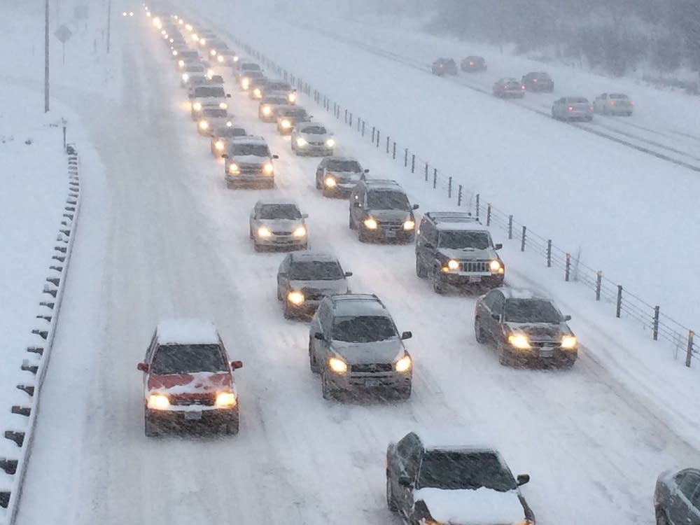
The timing of light snow Thursday morning combined with cold pavement temperatures looks like a recipe for a potentially chaotic morning commute.
Winter weather advisories are posted from the northern Twin Cities to Duluth and include most of northwestern Wisconsin.

The Duluth National Weather Service office has bumped up forecast snowfall totals slightly.
Turn Up Your Support
MPR News helps you turn down the noise and build shared understanding. Turn up your support for this public resource and keep trusted journalism accessible to all.
The Twin Cities National Weather Service office adds this latest update on snowfall timing and totals.
Let’s drill down into what could be an icy, dicey Thursday morning commute.
The system
Warmer air pushes northward across the Upper Midwest Wednesday night. Snow develops along the warm frontal boundary in North Dakota and spread east Wednesday night into western Minnesota. Meteorologists call this “warm advection” snow as warmer air lifts over the departing cold dome.
Snow pushes through western Minnesota Wednesday evening and expands into the Twin Cities and eastern Minnesota between about 4 a.m. and 6 a.m. Obviously, that’s bad timing for morning rush hour.
The National Oceanic and Atmospheric Administration’s High-Resolution Rapid Refresh model depicts the eastward progression of the snow zone.

Snow likely ends from west to east by around midday Thursday.
Snowfall totals
This system has the potential to lay down several inches of snow along its snow maximum. The most likely zone for several inches runs north of the Twin Cities.
Most models suggest a band of 3 to 5 inches could fall from near Brainerd, Minn., through Mille Lacs, Minn., along Interstate 35 in central Minnesota between the Twin Cities and Duluth.
Snowfall in the Twin Cities likely ranges between 1 inch (south) to 3 inches (north.)
Here’s NOAA’s HRRR model snowfall output.

Cold pavement temperatures
Overnight temperatures will hover a few degrees above zero across much of Minnesota Wednesday night. Here are the projected temperatures at 4 a.m. as snow increases in coverage.

That means pavement temperatures would be too cold for many road treatments to be at maximum effectiveness.
Simply put, it will likely get icy out there really fast Thursday morning as the snow increases.
The Minnesota Department of Transportation and local road crews do an excellent job, but the combination of cold temperatures and light snow could make for a seriously icy commute Thursday morning.

It only takes an inch of snow at these temperatures to create havoc during rush hour.
Roads that are freshly plowed and treated may be in better shape. But roads that have snow compaction will be very slick. Black ice and wheel track glazing are serious concerns.

I would urge extreme caution to anyone driving Thursday morning.

