Whiteout: Blizzard warnings in western MN; temperatures statewide set to crash
High winds lifting loose fluffy snow cover airborne
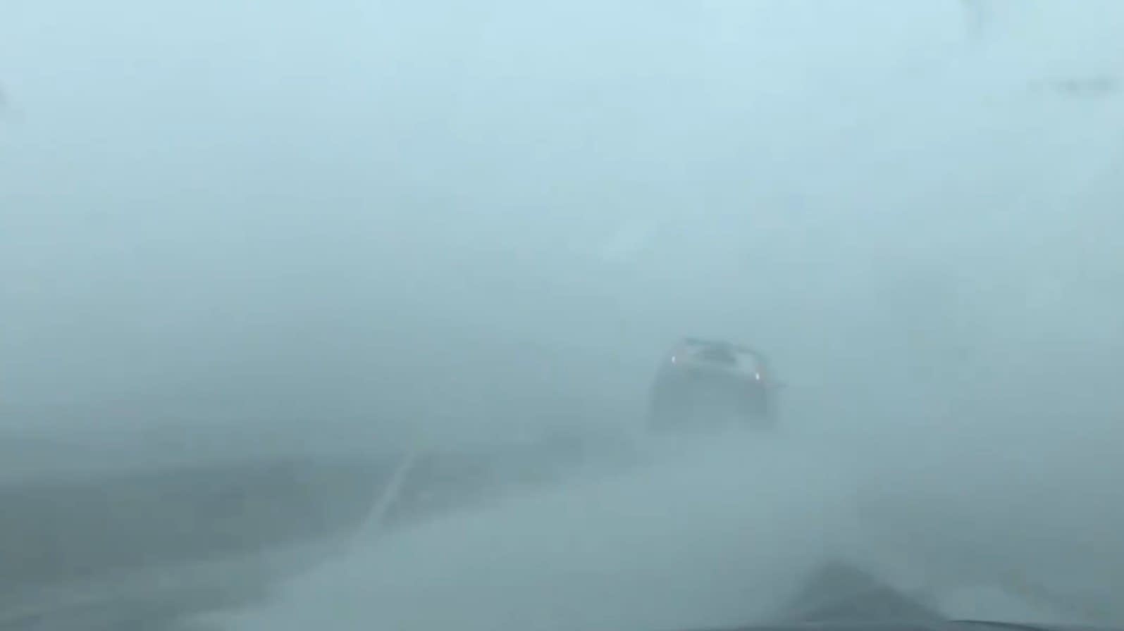
Weather conditions have deteriorated rapidly in western Minnesota.
A quick-hitting arctic front is driving wind gusts to near 40 mph and causing the temperature to plunge into subzero territory. Blowing snow is reducing visibility to less than a quarter-mile in some areas.
Most of Minnesota will see around an inch of snow as the front pushes through Wednesday. The highest winds favor western Minnesota.
Sudden arctic front
Our inbound arctic front brings a sudden temperature drop into a subzero air mass. Wind chills behind the front are in the minus 40s. That bitter air mass sweeps across Minnesota by Wednesday night. Subzero wind chills cover the entire Upper Midwest Thursday morning.
Blizzard warnings
Blizzard warnings are in effect Wednesday for a big chunk of western Minnesota including the Red River Valley into North Dakota.
Wind chill warnings and advisories are also posted for dangerous wind chill levels as low as the minus 40s up north.
Bitter, but brief
This cold snap is brutal but brief. Temperatures rebound this weekend with high in the 30s above zero once again.
Create a More Connected Minnesota
MPR News is your trusted resource for the news you need. With your support, MPR News brings accessible, courageous journalism and authentic conversation to everyone - free of paywalls and barriers. Your gift makes a difference.